14.8 miles, via Brackenhill, Ackworth Moor Top, Low Farm, Ackworth Viaduct,
Burnhill Bridge, Standing Flat Bridge, Thorp Marsh, Wentbridge, Sayles Plantation,
Brockadale, Smeaton Pasture, Kirk Smeaton, Little Smeaton, Willow Bridge, Norton,
Campsall, Sutton Field, Burghwallis, Skellow Cross, Carcroft, and Old Ea Beck.
My July NIW week does not feature any walking, despite being Down Country with a plan in my pocket, as getting on with some deferred housework and clearout tasks at My Mum's house demand the attention while we have all the members of the extended family visiting, having scheduled my trip in the same window as My Sister and her family's and thusly some necessary garden work and DIY can get blasted through while many hands, both young and old, are available to take them on, and thus not really providing a period for relaxation before we get back into the walking and the second phase of my Summer plans, which should lead us deeper into the southeast of the old West Riding. A fine plan which comes up against the problem of the weather turning unexpectedly inclement, resulting in choosing a later start out from home, and the local trains running late and failing to make an important connection for the only available service to my start line (which incidentally has nothing to do with the strikes in force today as Northern are thankfully maintaining a full slate), and that's why we aren't arriving at Fitzwilliam until almost 10.45am, behind the worst of the morning drizzle, but already feeling mildly dispirited as gloom and chill fill the air ahead of the anticipation of a late finish that's well have to take regardless of how well the day goes, with a time window demanding either a hurry-up to make it for the earlier ride or a dawdle in order to catch the later one. It's going to be a slow day, which we can feel as we push away, to the northeast along Wentworth Terrace, beyond the industrial terraces and the Pit Club on the north side of the village, shadowing the boundary of the old Fitzwilliam Hemsworth colliery and the reclaimed fields of the country park, passing the local industrial estate before it becomes a rough track to pass along the undulating fields boundaries, gradually turning eastwards working its way around to meet Dicky Sykes Lane and the run uphill past the recreation ground and terrace ends to land us on the A638 Wakefield Road in Brackenhill, the western part of greater Ackworth, across the way from the Electric Theatre cafe and cinema (?).
 |
| The Miner's Social club, Wentworth Terrace, Fitzwilliam. |
 |
| Tracing the boundary of Fitzwilliam Country Park. |
 |
| The Electric Theatre, Wakefield Road, Brackenhill. |
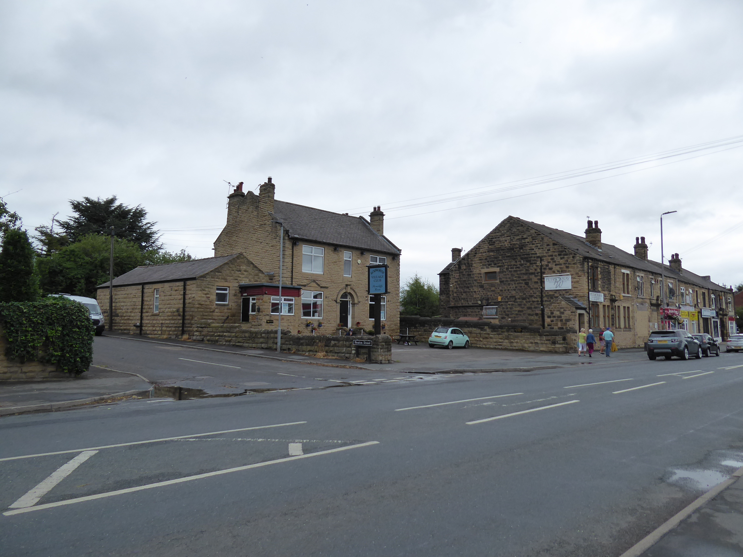
We push east with the Doncaster Road (the easy route to the southeast, if we'd wished to follow it), meeting Ackworth Moor Top beyond the bridge over the Brackenhill Light Railway, passing the Angel and the Boot & Shoe inns, and the village club, along the main road of this most suburban of country villages, before we turn onto the old main street of Bell Lane, which wanders us past the community hall and the village school, as well as the Masons Arms inn on its way across to the A628 Barnsley Road by the statement signpost, which we cross to meet Mill Lane, which is followed among the suburban houses to take us over the other end of the colliery branch line and past Ackworth Mill Dam school. Without noticing, we've settled ourselves into the Went Valley, and the River Went is met, describing little more than a ditch as we press east out of town along the track to Low Farm, settling on its north side as we pass through the farm yard, keeping away from the stacked bales and joining the field path beyond, settling us into a river walk as the Went flow east in its narrow and heavily managed channel, where admirable efforts to re-wild it have been made so that it doesn't act a a mere farm drain, and the level going presses us on along the well-trammeled dirt path to meet Tan House Lane, our previous passage across this landscape. We are then led below the six arches of Ackworth Viaduct, on the much less used upper half of the Swinton & Knottingley railway line, with the trees and bushes along the river channel obscuring the views of the masonry structure from afar and up close as we press on through the level fields of mostly beans, scanning the local horizon for some context as we pass below Ackworth Grange on its own prominent field, with Went Hill and Thorp Plantation rising modestly ahead of us, and both Upton Beacon and Walton Wood mast standinng to the south as we come up towards Burnhill Bridge and the sewage farm, where the Wakefield Way brought us some seven seasons back.
 |
| The Village Club, Wakefield Road, Ackworth Moor Top. |
 |
| The Bell Lane - Barnsley Road signpost, Ackworth Moor Top. |
 |
| Low Farm Lane. |
 |
| Ackworth Viaduct. |
 |
| Went Hill, and Thorp Plantation on the Went Valley horizon. |
 |
| Burnhill Bridge. |
Our 2015 route is matched eastwards along the edge of wheat fields before we transfer to the south bank with the footbridge, where the WW heads south and we continue east alongside the channel choked with aquatic plants, passing among equestrian field before we meet Standing Flat bridge, where the A639 Roman Ridge Road dives across the valley, and we continue downstream beyond along a track, which eventually turns to a field walk as the path drifts away from the riverside, not all that obviously as the finger post has been felled, taking us to a rarely trodden path above the wheat field rising above the merging of the Went and Little Went channels. Went Hill rises to our north, along with the sneaky view towards Pontefract, as we pace the edges of the rough fields above Thorp Marsh, and eventually come up to the side of the B6474 Wentbridge Lane, which directs us below Thorp Plantation as we head in towards Wentbridge Village, matching our recently established eastern boundary as we look over to the villas to the north and come in towards the old Great North Road, landing in the rustic southern half of it, downhill from the Blue Bell inn, where we cross by the old village schools and pass into the unknown again as we join the footpath that leads into the tightening valley passage beyond, with the parish church of St John perched below the steep wooded bank on the north side. Woodlands lie beyond, as does by far the most dynamic feature of the Went Valley, with the lower of tow paths dropping us to the bottom of the tree filled valley, tens of metres deep, that passes through the low range of hills at the eastern edge of West Yorkshire, with the concrete viaduct of the A1 passing overhead as we slip into North Yorkshire, though it barely disrupts the peace of this quiet idyll, which would be a whole lot nicer if we didn't have a whole mess of damp Summer vegetation to negotiate a way through before we meet the better track inside the treeline of Sayle's Plantation, below the looming wooded nab of Castle Hill, with the Brockadale Nature reserve lying beyond.
 |
| Standing Flat Bridge. |
 |
| Went Hill, above the merging Went valleys. |
 |
| Wentbridge Lane, leading us to Wentbridge. |
 |
| St John's Wentbridge, and vicarage. |
 |
| Wentbridge Viaduct. |
 |
| Sayle's Plantation, and Brockadale. |
A brighter day would be lovely to illuminate this thick leaf canopy, which offers some shelter from the passing rain showers as we press east, finding the slippery path by the riverside to be rather hard going as we are denied any kind of landscape context, before we rise onto a slightly better track, which old OS maps claim as an old railway (serving the old quarries of Brockadale, though no documentary evidence can be found to corroborate that), which keeps us on a clear route through the trees, spying the wires leading to the only house in the valley, completely alone as the only other walker on the track stays consistently ahead of me despite my best hurried pace. Pylons interrupt the woods at Thompson's Meadow, giving us a bit of landscape scope before we return among the trees at Smeaton Pasture, still tracing the riverside among the trees and finding that people do trace the paths at this end of the valley, where the depth drops somewhat and the peace is disrupted by a generator powering a pump beyond the nature reserve, where quarrying scars the valley side, and the path wanders among among more shoulder height vegetation before hints are given of settlement ahead, with the low path abruptly terminating before we are forced uphill between the declining walls of Kirk Smeaton's back garden. Arriving in North Yorkshire's southernmost village, we finally find a bench to take a very late lunch upon, right on the Main Street corner, where we then press on among the stone walls and rustic flavour of the village, past the Shoulder of Mutton inn, around St Mary's church and down the Hodge Lane footpath, unmarked on my OS E279 map, to cross to the Went's north side, and sharply uphill to meet Little Smeaton village, spread east of its Wesleyan chapel and along the bluff above the river, with the upper floors of Main Street's house probably having a commanding view south over this landscape that I don't know at all, where Cusworth Hill and its woods are the only feature I can pick out.
 |
| By the Went in Brockadale. |
 |
| Path finding in Brockadale's woods. |
 |
| The Pylons above Thompson's Meadow. |
 |
| Pumping out the Went at Smeatons Pasture. |
 |
| Main Street, Kirk Smeaton. |
 |
| The Went between the Smeatons. |
 |
| Main Street, Little Smeaton. |
At the crossroads at the village's end, we drop down past the local rec and into the fields again, to make our final crossing of the Went, after we've examined the site of Kirk Smeaton station on the H&BR mainline, occupied by a mechanics garage and far more intact that the surrounding alignment, which is completely absent above the Willow Bridge crossing, where pas back into South Yorkshire, among unfamiliar fields with only the Walton Wood mast giving us a sense of location as we rise to Spittlerush Lane, still tracing the Went eastwards but getting no feeling for the nearby flatlands in the east as we push up below Cliff Hill farm, barely sensing Drax Power station on the far horizon. The rise of the lane finally drags us away from shadowing the Went, and directs us southwards and out of the fields as we come upon the western end of Norton village, not showing much more than some weather-boarded council houses, a single terrace and a recreation ground around the crossroads, with attention beyond landing on the Windmill House farm complex on the western side of Ryecroft Lane, and trying to snag a glimpse of the rise of the hill in the east, which appears to be the reclaimed spoil tips of Askern Main colliery, too frequently hidden away behind thick South Yorkshire hedges that are also getting fearsomely overgrown. Beyond the grounds of Campsmount Academy, we find ourselves high enough to get that proper view of Drax before we slip into the village of Campsall, passing its cemetery and through the estate of mining vintage estate houses at its top end, before settling in between its rough stone walls and red-tiled cottages on the way down The Avenue by the church of St Mary Magdalene and its gothic vicarage, before a sharp turn takes us down the drag of the rural flavoured High Street, before turning again into the suburban enclave that sits around the village hall and the old schoolhouse along the Sutton Road, feeling sure that this would all feel idyllic if we had the slightest hint of sunshine in the air, rather than the wash of gloom that has become pervasive.
 |
| Kirk Smeaton H&BR station. |
 |
| Seeking Walton Wood mast on the Western horizon. |
 |
| The west end of Norton. |
 |
| Windmill House farm. |
 |
| Mining vintage Campsall, The Avenue. |
 |
| Rural vintage Campsall, High Street. |
We return to the fields as we join Burghwallis Road, rising us up to get sight of the water tower that sits above Askern village, the only distinctive feature on the local horizon visible as we rise on the shallow edge of the hills that sit outside the east of West Yorkshire, pausing for another lunch break that feels like teatime when a convenient felled tree trunk is found, where my break is disturbed by a group of young RAF cadets who've gotten themselves lost on an orienteering expedition, before we press on, getting no useful sense of anything in the southern horizon, while still picking Walton Wood mast as my sentinel in the north. Passing out of the wheatfields and the landscape of hedges, we meet Burghwallis village, which seems to be almost completely shrouded by trees, concealing away both St Helen's church (have we met a lot of parishes with that particular dedication in these parts?) and Burghwallis Hall, which has been both a convent and a care home over the years, ahead of us getting some less shaded terrain around the War Memorial corner, where our location on a minor bluff is revealed, falling away behind the back gardens on the suburban ribbon along Grange Lane, where a rare decision to abbreviate the day's route is made. We'll not press on towards Skellow on this southwesterly tack, and instead descend down the bridleway of Stoney Croft Lane, which leads us through the wheatfields to the west of Burghwallis park and Owston Demesne, also taking us through a shaded passage that seems to already have an autumnal leaf fall on the ground before we come down to meet the recreation ground at the top edge of the Skellow Cross estates, which might feel like the outermost edge of greater Doncaster, where we make a left turn onto Lodge Road, taking us past Owston Park primary school.
 |
| Askern Water Tower on the southeastern horizon. |
 |
| Seeking a sense of location on Burghwallis Road. |
 |
| The Grange lane corner, Burghwallis. |
 |
| The War Memorial Corner, Burghwallis. |
 |
| Stoney Croft Lane, and Owston Demesne. |
 |
| Skellow Cross recreation ground. |
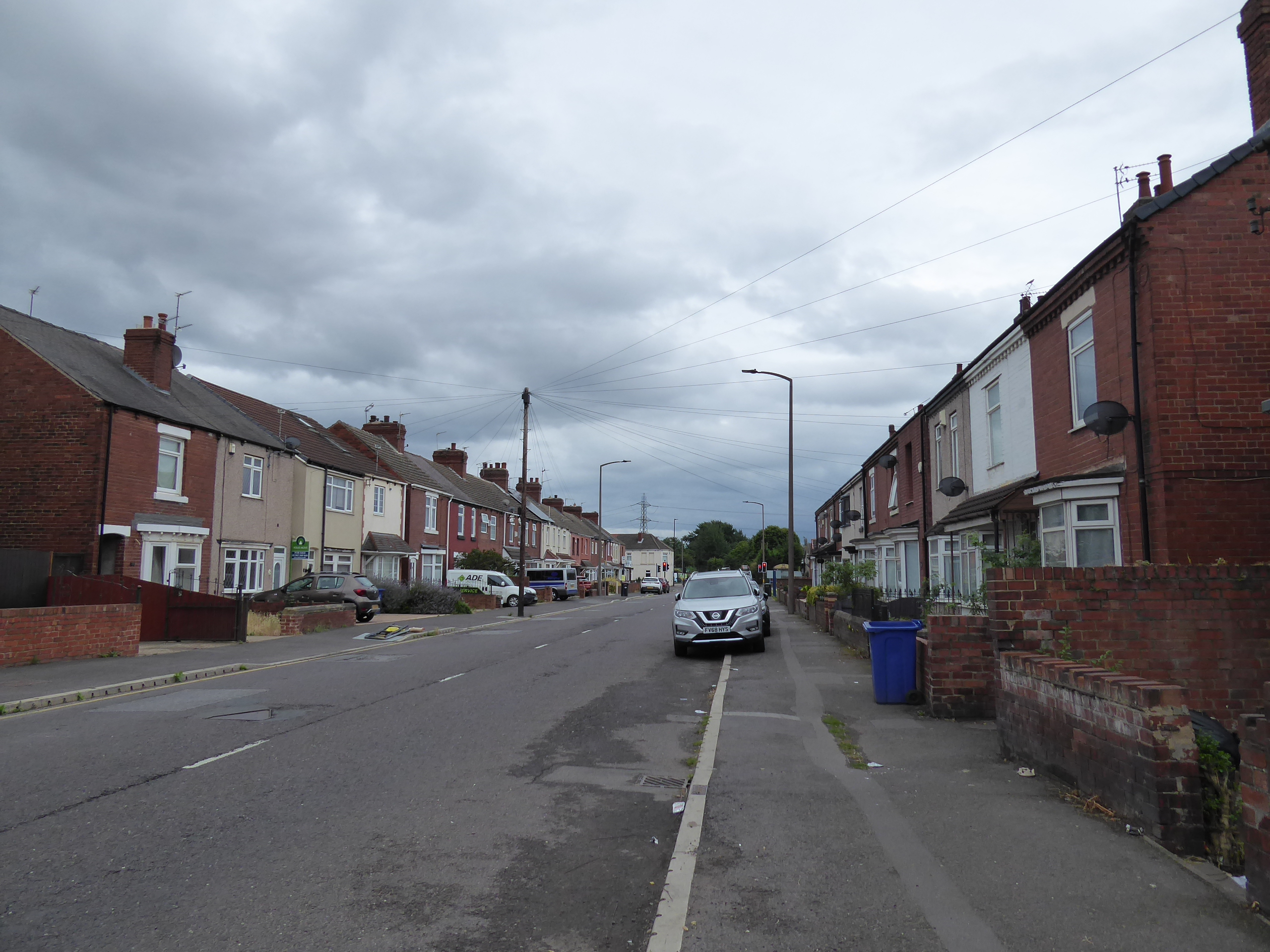
We stay above the estates until we've passed Uncle tom's pub and restaurant (and sports club), and then take the turn down Owston Road through the heart of Carcroft's estate houses, along what must be noted as the historic Corpse Road, which takes us past the village primary school, and Scouts hut before we pass over the end of the High Street, with the older village lying to the west of us, and head on down between the terraces that lead to the crossroads on the B1220 Skellow & Askern Road, which is crossed to take us into the industrial landscape that has grown on Carcroft Common. Rise to pass over the Adwick - Stainforth railway line, and finally get some known context as the towers of distant Doncaster rise ahead, and the Brodsworth Colliery country park punctuates the horizon beyond Adwick le Street in the southwest, which we won't actually be approaching as our destination lies ahead of it, beyond the industrial estates and business park that sit on both sides of the embankments that contain Old Ea Beck, the main watercourse in these parts, which Church Lane slips directly through, before it comes to the rise to pass over the railway, where we can look to the old Adwick station buildings on the north side of the bridge, before descending to the modern interchange on the other, wandering down the long ramps to wrap the day at 4.55pm, 2 hours later than I'd planned at the day's start. ~~~ Undoubtedly it's been a long, slow and frustrating day, and we might have hoped to have landed an earlier train if a decent pace had been maintained but a 35 minute wait isn't boring, despite the absence of LNER expresses, as a Ballast train and a Grand Central express do burn through before we set off homeward on the local service, only to get that held at two signals on the way back to Leeds missing me my connection and thus having us not get home until after 7pm, some 13 hours after I rose to face my walking day (but nonetheless feeling like we might have crammed everything that might go wrong during my 2022 walking year into a single trip along the course of today...).
 |
| Owston Road, Carcroft. |
 |
| Further down Owston Road, Carcroft. |
 |
| Old Ea Beck and Church Lane, Carcroft Common. |
 |
Adwick old Station
~~~ |
 |
| Doncaster bound Ballast train, Adwick. |
 |
| Bradford bound Grand Central express, Adwick. |
5,000 Miles Cumulative Total: 5705.8 miles
2022 Total: 417.1 miles
Up Country Total: 5,225.1 miles
Solo Total: 5370.2 miles
5,000 in my 40s Total: 4295.6 miles
Next Up: Establishing a new eastern boundary on the North-South Yorkshire flatlands.


No comments:
Post a Comment