16.3 miles, via Woodlands, Skylarks Grange, Markham Grange, Green Hills,
Chapel Plantation, Rat Hall, Back Field, Hooton Pagnall, Frickley Lodge, Clayton,
Challenger Wood, Howell Wood, Houghton Common, West Haigh Wood, Lady Wood,
Grimethorpe, Ferry Moor, Lower Cudworth, Lund Wood, Sunny Bank viaduct,
Ardsley tunnel, Stairfoot, Hunningley, Barnsley Main, Hoyle Mill, and Oakwell.
Our preceding Friday evening was spent drinking after work, to celebrate the imminent retirement of an absolute stalwart of the LTH MRL department, manager LT, which was my first works occasion out since Christmas 2019, and my forst episode of getting boozed up before aiming myself at a walking weekend in possibly a decade, so it'll be immediately interesting to see how my aged self gets on with exercising off my hangover, as the August Bank Holiday can't lose its allocated day, as my Mum is coming to visit for the remainder, and we've got a Late Season slate to get started, tying together all these lose ends across South Yorkshire that we've been dropping since May. So we start in the east, with a whole bunch of routes plotted to the west, starting our first at Adwick at 8.55am, in an already much warmer and brighter climate than I was anticipating, rising from the station to the B1220 and immediately splitting from it as Church Lane enters the village of Adwick le Street, taking us around the parish church of St Laurence, and then on a bit of a circuit along Village Street and Fern Bank, past the Forester's Arms and the Methodist chapel to get us onto our clear trajectory along Tenter Balk Lane, out of the old village and into the suburbia of greater Doncaster beyond. Past the village park and Northridge Community School, we come up to the A638 Great North Road, where the dual carriageway is negotiated to take Ridge Balk Lane as it passes between the two vintage halves of the woodlands estates, the older and more aesthetically interesting one sitting to the south, as we already knew as the Roman Ridge road crosses beyond it, passing over our Doncaster route and starting the inflation of the field of walking experience before we carry on beyond the burgeoning suburbia at Skylarks Grange, and on along Long Lands Lane between the Red House depots and the Brodsworth Community Woodlands, before we meet the Markham Grange nurseries complex and our proper entry into the countryside across the A1(M). Red House Lane angles across the infilled cutting of the H&BR South Yorkshire Junction branch, and among the fields of the poorly named Green Hills, heading in towards Pickburn and Brodsworth, and its parklands, but before we get there we're shifting off onto the bridleway that has a concrete cast of a trig pillar abandoned at its entrance, before it aims uphill into the fields mown and dry below and beyond Chapel Plantation, and onto a rising track that places us south of the Hampole windfarm, and gradually rises to elevate All Saints church's spire and the Brodsworth Colliery tip onto the local horizon, and sneaks that of the downstream Don beyond it.
 |
| St Laurence's church, Adwick le Street. |
 |
| Fern Balk, and the Methodist Chapel, Adwick le Street. |
 |
| The Woodlands estates, beyond the Great North Road. |
 |
| Markham Grange, Long Lands Lane. |
 |
| The H&BR South Yorkshire junction branch, Red House Lane. |
 |
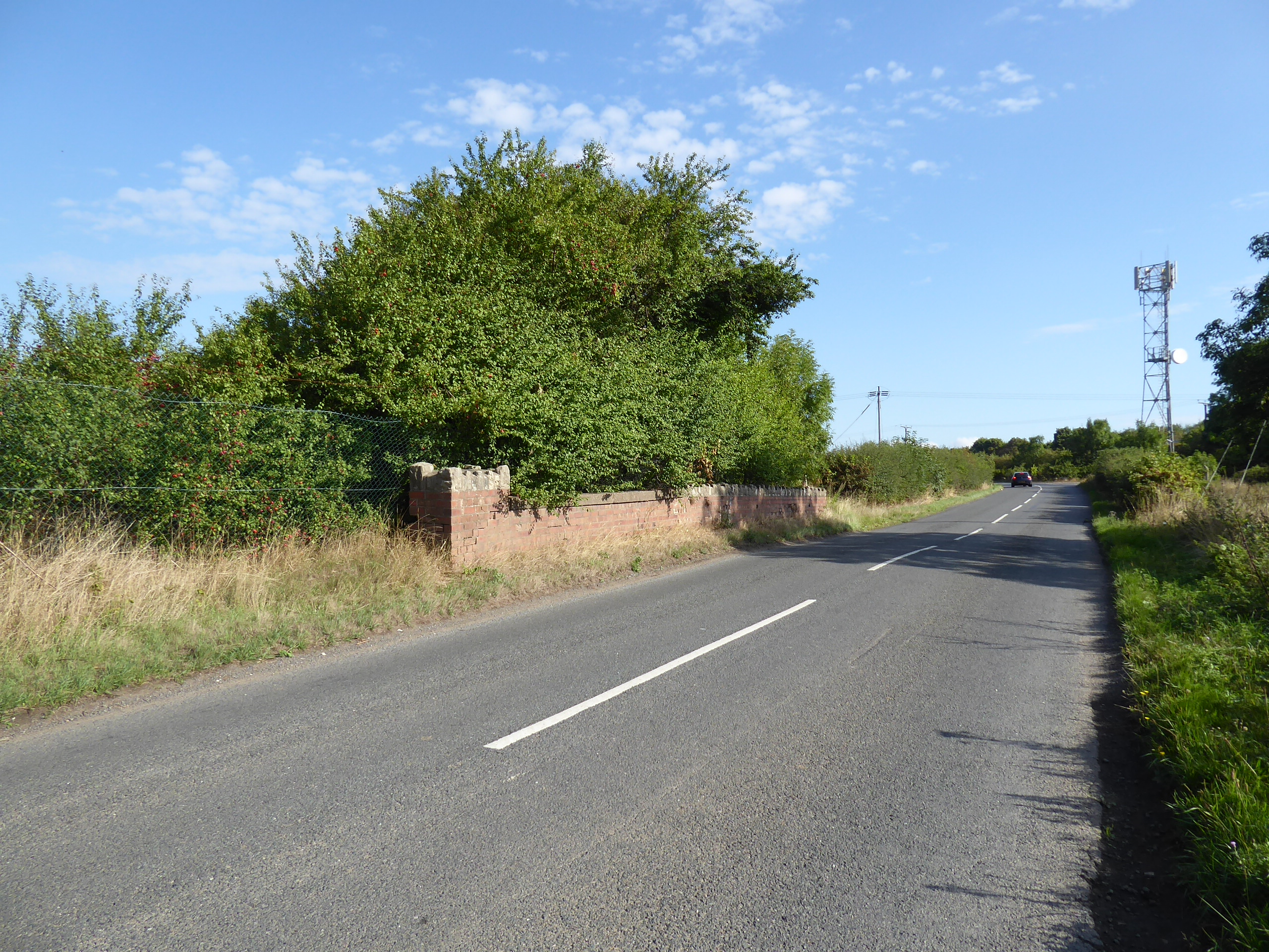
| The Ling Lane bridleway.. |
The ancient Ling Lane, passing north of Brodsworth village, gains a bit of definition once we gain hedges and trees for company, along with a young lady giving her dog its early morning run, entering a long green tube that leads past another random trig pillar casting and on to the plateau top that is revealed ahead of Rat Hall, the only farmstead of note up here, where we are directed around to the field path that leads west, revealing Upton Beacon and the South Elmsall depots beyond the fields and woodlands to the north of us, and heading to the passage over Lound Lane, one of the forgotten ancient tracks in this quarter. Our route enters Narrow Balk Lane, which earns its name as we get squeezed in between thick hawthorn hedges that we cannot see over, ensuring no sense of actual location can be gained until a gap reveals Walton Wood mast, and then Hooton Pagnell's Back Lane reveals itself, with a tree-lined driveway leading us out to B6422 by the cross stump and above the village pinfold, crossing our Conisborough route and the bucolic feel has to be taken in again, as does the distant hint of our destination before we take the hairpin turn down, off the plateau's edge to join Clayton Lane and the War Memorial garden, where shaded benches provide a place to stop and refresh after 100 minutes of working off the hangover. The suburban ribbon to the west is short, preserving so visual appeal much for a three time winner of South Yorkshire's best kept village, which soon falls into our wake as the tree cover contains the westwards push of the lane, where heavy tractor traffic passes to take part in some late season harvesting going on behind the high hedges, offering us little sense of location as we draw close to the lane that leads to Frickley Park, home of the Horse Trials, where the embankment of the H&BR Wath branch enters the landscape, with perhaps its sole surviving masonry structure on its entire length passing over the driveway, which can only be regarded from afar before we find there's no trace of the crossing of Church Field Lane remaining on either side.
 |
| Trig Pillar casting, Ling Lane. |
 |
| Rat Hall. |
 |
| Narrow Balk Lane. |
 |
| The War Memorial garden, Hooton Pagnell. |
 |
| Clayton Lane, plus dense hedges and woodlands. |
 |
| Frickley Park driveway, and the H&BR Wath branch. |
Beyond the equestrian fields, it becomes a bit easier to scope out our whereabouts as we follow the lane around to Frickley Lodge farm, as All Saints church sits in it copse at a remove from its hall and village on the north side of the lane, and the wooded top around Watchley Crags rises to the south, which itself advertises our proximity to Thurnscoe, and after bottoming out over the northward flowing streams, we rise to pass over our Mexborough route on the field paths, and then carry on uphill to pass over the Swinton & Knottingley line, just south of the former Frickley station, just about equidistant between its namesake and Clayton village. Also between the two is the old vicarage, of what the signage indicates as a shared parish, where a footway arrives to lead us into Clayton village, elevating us enough to give us a view of the sweep of the Dearne Valley to the south of us and passing the Village Club in the old school house, revealing a view over the hillcrest to the north before we arrive in another village that has avoided too much accretion, pausing in the shade for another re-hydration break by the War Memorial and pond, before carrying on past the tall Old Hall farm along the front street this time around, finding all the bucolic appeal persisting, with even the village store hiding away within a domestic building, along to the turn by Top House. Over the Swinton Route we head, keeping above the fall towards the Dearne as Shortwood Lane offers us a strange view to Pontefract's highest tower before we settle in on the South Yorkshire side, passing around the southern edge of Challenger Wood, and joining Howell Lane to reveal us on the hilltop above Great Houghton, and also the apparent reveal of the reconstruction of the missing third wind turbine by its old colliery site, carrying on as the emergence of Barnsley in the distant valley coincides with our departure from Doncaster borough, while a look the other way provides our last view towards the southeastern corner of Wakefield district.
 |
| All Saints Frickley, in isolation. |
 |
| Frickley Station site, on the Swinton & Knottingley Line. |
 |
| Clayton Village Club, Church Field Lane. |
 |
| Clayton Village Store, Church Field Lane. |
 |
| Challenger Wood and Shortwood Lane. |
 |
| Houghton Colliery turbines and Barnsley revealed from Howell Lane. |
The bottom corner of Howell Wood then draws up to the roadside, originally seen at its north end on the Wakefield Way route, and now obscuring everthing to the east as we can only see north to Brierley Gap, with the woodlands that have grown up on Houghton Common now concealing the westerly views too, so as we land on the B6273 Southmoor Road and cross the Thurnscoe route, we delve in to the deeply unfamiliar as we tilt into the woodlands, hopeful that our track eastwards is the correct one, and if its not we can use some map guessing and dead reckoning to get us to the northern edge of Haigh Wood without getting lost. This can be done, as we keep in sight of the village terrain in the far north, before picking the path through Lady Wood that leads directly downhill through a wide avenue of trees to land us in estete that sits above Grimethorpe, immediately placing us in greater Barnsley, and seeking a way out via Cross Street and Nancy Road to find the path that angles through the parkland below the Red Rum inn, landing us Cemetery Road at the top of the playing fields to shadow the Goldthorpe route downhill until we cross to St Luke's Road, by the red brick church and its accompanying War and Miners memorials. This leads us to the top of the High Street, by the Asda store, taking us downhill past the shopping parade and the community centre among the sweep on the long terraces, concealing the famous Colliery band's HQ somewhere to the south, and landing above the industrial parks on the old pit site before we head out across the A6195 Engine Lane, a relatively late arrival in this landscape, passing between the healthcare suppliers factory and the aquatic bird lake on Ferrymoor Way before we meet the post industrial blight on Ferry Moor, with the right of way being less than clear beyond the travellers encampment, across the barely reclaimed land to the east of the lost Dearne Valley railway line.
 |
| Howell Wood. |
 |
| Houghton Common woods. |
 |
| Lady Wood. |
 |
| St Luke's church, Grimethorpe. |
 |
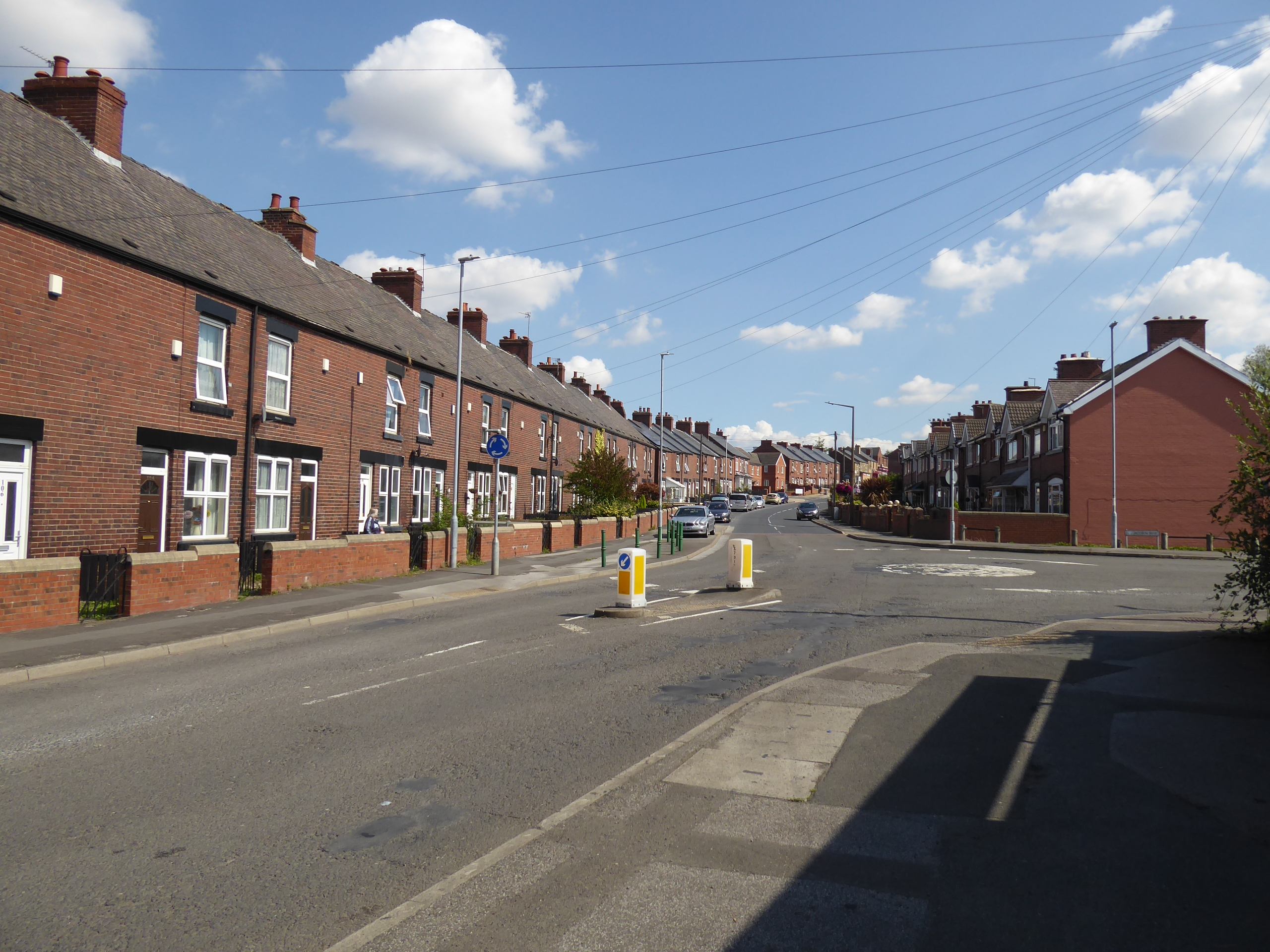
| Grimethorpe High Street. |
 |
| Ferry Moor's post industrial blight. |
Guesswork and a good look at my E278 map finds us onto the ancient track of Ferry Moor Lane and Tippit Lane across the valley from Grimethorpe to Cudworth, forming a green tube along the colliery site's boundary, or it would if someone hadn't recently set fire to it, only becoming leafy as it traces a way up among the cornfields in sight of the Dorothy Hyman sports centre and twisting a way uphill to arrive by the Pinfold Hotel, where we'll take watering break before crossing our Bolton upon Dearne route on the Darfield Road and taking a left onto White Cross Road to take us through Lower Cudworth. A short cut and southwards turn is taken on the ancient, and modern residential, lane of Low Cudworth Green, where we join the suburban ribbon as it extends down Carrs Lane, leading us into countryside by the South Yorkshire mounted police stables at Ring Farm, over Small Bridge Dike and up Burton Abbey Farm lane as it passes under the old North Midland mainline, and then leads us up to the pop-up cafe and park by the MR Cudworth & Stairfoot branch, which the Trans Pennine Trail has claimed as a link path, and our southwesterly press will join it as it makes its way from Lund Wood towards the Dearne valley proper. This relatively minor lost line among the many that once knotted this landscape brings some engineering feats as it presses easterly beyond its initial low embankment, through a deep rock cutting with a three arched bridge across it before it bursts across the Dearne on the high and curved Sunnybank(?) viaduct, ahead of it digging into the far bank as it passes over the GCR Houghton Main Colliery branch, and carrying on until it dug into the nab end of Scorah Wood via Ardsley tunnel, the north portal of which is still open for viewing in its chilly little glade, before the TPT sends its bridleway to the south on its alignment, below the infilled south portal.
 |
| The green tube of Tippit Lane. |
 |
| Darfield Road, Lower Cudworth. |
 |
| Carrs Road, Lower Cudworth. |
 |
| Rock cutting and Arched bridge, on the Cudworth & Stairfoot Line. |
 |
| Sunnybank (or Ardsley? Viaduct. |
 |
| Ardsley Tunnel, north portal |
We soon drop down off the alignment that lead to Stairfoot viaduct, and come close to the H&BR route to its own terminus as the TPT tracks gradually combine again beyond the woods at the side of the A633 Grange Lane, meeting our 2015 boundary where the Wombwell route is also crossed, joining Doncaster Road on its uphill rise, below the old GCR line to Barnsley, away from Stairfoot itself and up towards Hunningley, now heading uphill into the town proper it seems, past the Travelodge and the concealed route of the Dearne & Dove canal, as the A635 offers us a red route to the finish line. Our route finding has to take in the points of interest though, and we turn onto Hoyle Mill Lane as it leads beyond the stone terraces and over the old railway - modern cycleway again, into the surprisingly leafy post industrial landscape on the high south side of the Dearne valley, around the site of Old Oaks Colliery (scene of England's worst mining disaster, which killed 361 men in 1866), and over the route of the MR high line towards Monk Bretton, of which n trace can be seen, though we can find the pit head and winding house of Barnsley Main colliery preserved in its park, ahead of a slightly better remnant of the Dearne & Dove canal ahead of the drop down to the A628 Pontefract Road at Hoyle Mill, which will be our last mile for the day. Industry and post-industry linger along the lane, hiding the third contact point with the lost canal before we enter a long green passage that makes our destination feel a long way off, but when the urban landscape returns we find ourselves below Barnsley FC's Oakwell stadium, mostly concealed by terraces and free of a throng of supporters today as we make our way past the Mount Inn, up past the car dealerships and under the A61 overpass via Kendray Street to very suddenly find ourselves by the Glassworks shopping centre and downwind of Barnsley station and Interchange, where the Elsecar route is crossed and the day wrapped at 3.25pm (with the effects of yesterday's drinking forcefully and healthily flushed away and in good time for meeting my visiting Mother once I've made the connections on the hour's trip homeward).
 |
| The railway path vanishing on the way to Stairfoot. |
 |
| The vicinity of the Dearne & Dove canal, Doncaster Road. |
 |
| Barnsley Main Colliery pit head and winding house. |
 |
| Pontefract Road, Hoyle Mill. |
 |
| Oakwell stadium. |
 |
| The Glass Works, Barnsley. |
5,000 Miles Cumulative Total: 5769.7 miles
2022 Total: 481 miles
Up Country Total: 5,289 miles
Solo Total: 5434.1 miles
5,000 in my 40s Total: 4359.5 miles
Next Up: First trip of the year wholly within 2022's new Field of Experience.


No comments:
Post a Comment