15.2 miles, via York Bar, Cusworth (Park & Hall), Brandfield, Melton Brand, Melton Wood,
High Melton, Melton Warren, Barnburgh, Goldthorpe, Thurnscoe, Sandhill, Little Houghton,
Darfield, Snape Hill, Low Valley, and Wombwell Main.
It's worth a brief reflection to note that August Bank Holiday weekend has never been that rewarding in terms of my walking career, having only brought multiple days of exercise in three of my past seasons, probably becasue I've been keeping the powder dry for my week of Late Summer Jollies at the start of September, which we won't be enjoying this year because of how I've arranged my leave with regards other things going on, and thus we approach the End of Summer with only a long weekend booked in its place, where we might have hoped to have travelled away before my plans rearranged themselves. Instead we are still pulling walks off the normal slate, and finding that today we will be doing something very rare indeed, which is travelling between two places which have arrived on my radar within a calendar year, which will also not pass through any part of the walking bubble that had been previously established across the last decade, which has not been done (outside of holiday trips) since 2015, which has me realizing just how tethered we have gotten to the Field of Walking Experience that we had inflated over my first four years on the trails. So everything we see today will be exclusive to the season of 2022, as we resume our east-west passages across South Yorkshire, alighting at Bentley at 9am, deep within greater Doncaster and setting a course southwesterly down Watch House Lane between the terraces and the spread of suburbia that hasn't claimed the extensive allotment gardens, ahead of the rise over the old H&BR - GCR joint line, the contemporary Trans Pennine Trail, and thence down among the semis to the passage over the A638 York Road, immediately getting us back to crossing this year's trail as we land outside the York Bar WMC, just downwind on the old Roman Road path. Cusworth Lane leads us on, among the suburban spread, where Dillicarr House is the only residence of a particular vintage, with the Mallard inn (hopefully named for one of the city's most notable products) sitting opposite, beyond which we detour slightly into Cusworth village, where most of the local rural flavour can be found, around the British Orthodox church and the way into the public park in the grounds of Cusworth Hall, just another noble pile to add to the number in this quarter, where we are led through the woods and up to the end of the driveway by the gatehouse, trying to not get tangled up with the participants in the local park run before we alight on the roads once again, at Back Lane.
 |
| Watch House Lane, Bentley. |
 |
| Passing over the H&BR - GCR jount line. |
 |
| York Bar WMC, York Road. |
 |
| The Mallard inn, Cusworth Lane. |
 |
| Cusworth Hall, and Park. |
We press on out of the once considerable parklands, down from Avenue Field and the Long Plantation and on through the now arable fields before we drop down to the passage under the A1(M) and soon enough pass across the remnants of the H&BR South Yorkshire Junction branch, the cutting and embankment being quite obvious if you're looking for them, before we pass away from the turn with all the traffic down to Sprotborough and pass the Brandfield farm hamlet, to enter another long passage among thick and high hedges along Brand Lane, denying us a sense of location as we risen onto the local plateau. When we do get some hedge gaps, the view east is far less considerable than the one we had last weekend, with a distant spoil tip and spire punctuating the northern horizon, and so attention holds forwards, wondering if the bank of high, opaque cloud is going to bring rain, or break up, before the trip has ended, eventually negotiating a kink or two in the lane to place Melton Wood and the Marr windfarm to the east of us, before coming around past the Melton Brand farm hamlet and pressing on towards the large woodland that we passed to the west of a few weekends back, noting that this is the popular location along the lane for those who like to idly amble. A couple more farmsteads are passed at this eastern side, and the road takes a more southerly shift as we press on uphill-ish, cresting to a reveal of the passage we took into High Melton to our west, and giving a hint of Doncaster's towers on the eastern side, though our relative altitude gives no indication of the fall of the Don to the southeast, hidden beyond a number of woodlands, as we come down the long walk to the edge of the first village we've seen in an hour, meeting the corner of our Consiborough Route as we take a right onto Doncaster Road to leads us into High Melton, retracing the pavements and not making for a detour visit of St James church again, as we're led to an elevenses break on the bench outside the village hall.
 |
| Back Lane leads under the A1(M). |
 |
| Brand Lane and its impenetrable hedges. |
 |
| Melton Brand. |
 |
| Melton Woods. |
 |
| Arriving above High Melton. |
 |
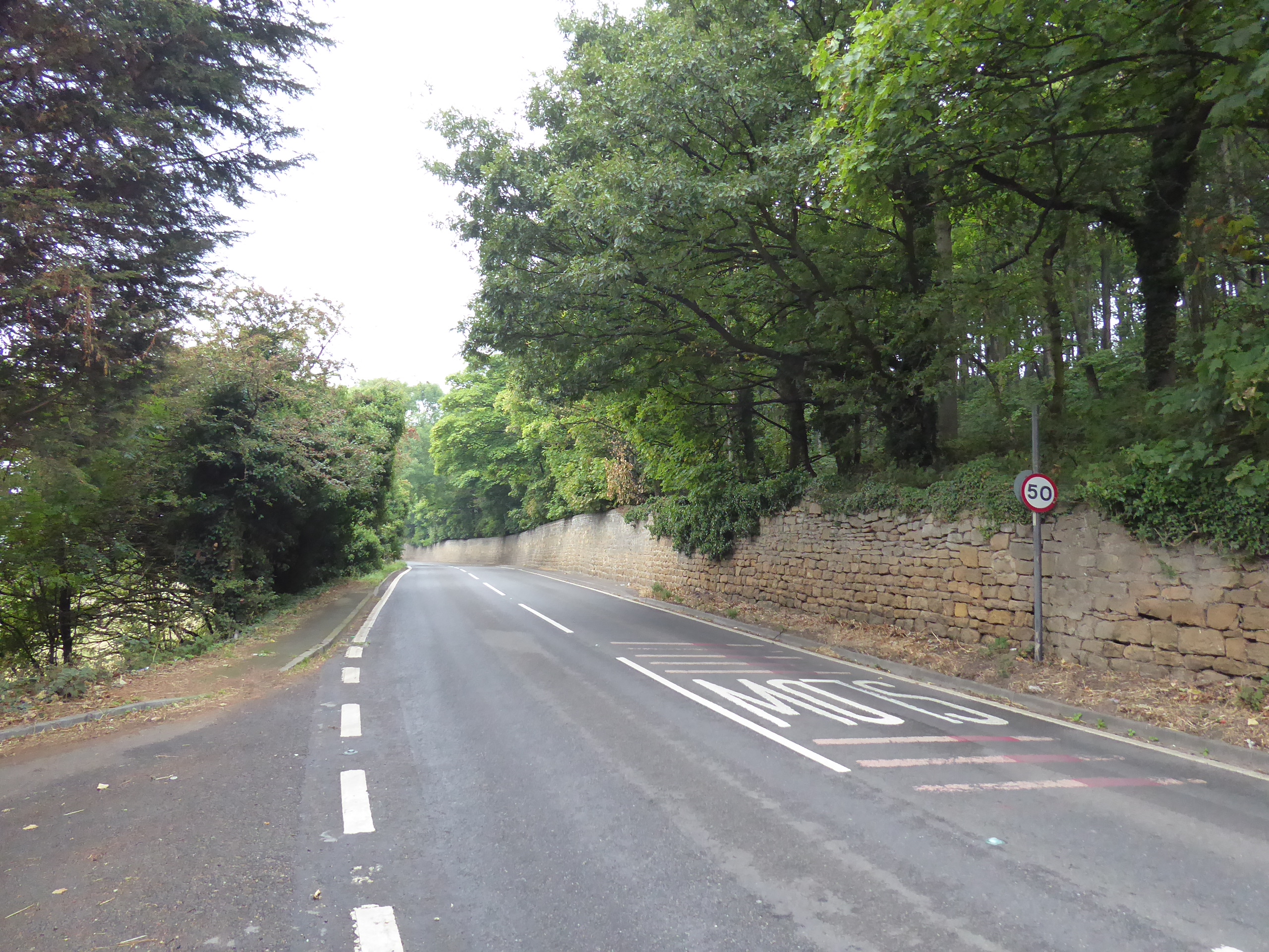
| Doncaster Road, High Melton. |
Roadworks are passed around, probably improving utilities provision for the redeveloping Melton Hall site, and we press east down the narrow and shaded lane that takes us off the plateau and below the modest scarp that hangs over the Dearne valley side, missing the path that leads down a safer footway option, and don't get much by way of views until we've passed some way down the edge of Melton Warren and its retaining walls, getting the valley reveal well past Bath House farm and plantation, to place us northeast of Mexborough and the northward progress of the middle Don valley, but no sight of Conisborough despite its proximity. The lane junctions tangle beyond, down Melton Mill Lane and up Hangman Stone Lane, and come down from the plateau edge and its woodlands as Barnburgh gets placed on out northwestward horizon, coming down the lane of Ludwell Hill and taking in the passage of the old Dearne Valley railway line, in its eponymous location drifting across the fields to the south as we gain a footway as it comes past the Barnburgh Lakes angling complex and down to the Crown Inn, apparently outside its served village, which lies beyond the uphill rise of Doncaster Road, beyond its short suburban ribbon and outlying farmsteads. Land by the knot of lanes by the Coach & Horses inn, St Peter's church and the village hall, pausing on the green for another watering break as the autumnal gloom has a distinctly summery heat trapped beneath it, and then we carry on east, along Barnburgh Lane as it passes through the wider suburban band, before dropping and rising on among undulations that do much to rob us of a sense of location, despite us switching between Doncaster and Barnsley boroughs, passing north of the Barnburgh colliery site, and coming in to the south of the one at Goldthorpe, and it's only the path of the railway that seems distinctive, passing over the lane at a sharp skew on a red brick and plate girder bridge that has little vintage appeal, if we're really honest.
 |
| Doncaster Road, below Melton Warren woods. |
 |
| The merging Dearne and Don valleys, around Mexborough. |
 |
| Barnburgh on the forward horizon. |
 |
| The Crown inn, outside Barnburgh. |
 |
| Barnburgh village green. |
 |
| Barnburgh on the reverse horizon. |
 |
| Barnburgh Lane bridge, on the Dearne valley line. |
Our placement above the Dearne valley becomes briefly obvious before we pass into Goldthorpe village, suburbanly growing at the is southeastern end, being drawn in between two distinct vintages of council estate before we come around past the Snap Tin Community Hub and rise meet the B6068 High Street, taking us uphill past the Union Jack Memorial Club and over the deep and green gouge formed by the DVR via its infilled bridge, shy of the ASDA store, and then passing onto the Railway View path which shadows it east behind the terraces to bring us to the narrow Straight Lane bridge, above the gardens in the cutting below. That's something else we won't see today, as we pass up to the side of the Barnsley Road main street, to be traced until the point where the H&BR Wath branch added to the village's landscape of lost railways, on the path of the Fields End Road, which is crossed to meet the rapidly diminishing track of Bridle Lane, which takes us past what can only be described as the local philosophy wall of many epigrams and aphorisms, before taking us over the disused spur that linked the DVR to local collieries and the modern railway, ahead of passing over it above Goldthorpe station and tracing more alignment down to Nicholas Lane. Cross the Swinton route as we pass under the A635 bypass road, and join the bridleway that traces a way east below the old railway embankment, passing over the culverted Thurnscoe Dike and coming up at the footpath passage below the other junction between the S&K and the DVR, meeting the northeasterly press of the latter on its properly cycleway-ed surface as it brings us in south of Thurnscoe village and its southern suburban reach, where the hedges seem to be filling with the colours of many berries and autumnal fruitfulness already, at least where they haven't been set on fire, either deliberately or accidentally, with the press beyond taking us over footpaths via bridges of a brick arched and plate girdered fashion.
 |
| Barnburgh Lane, Goldthorpe. |
 |
| High Street bridge on the DVR, Goldthorpe. |
 |
| Barnsley Road, Goldthorpe. |
 |
| The footpath crossing above Goldthorpe station. |
 |
| Retaining walls on the DVR junction, below Thurnscoe. |
 |
| Dearne Valley Railway alignmnet, south of Thurnscoe. |
 |
| An appealing footpath passage, below the DVR. |
As the old line passes north of Holmes farm and Billingley village, we have to drop down to the latter's eponymous lane to conclude that 20th century railway bridges had none of the style of Victorian ones, before we press on to come below the estate houses at the eastern end of Great Houghton, and cross the Rotherham Road, and the Goldthorpe route, south of Sandhill, before the line beyond settles in between hedges and trees that conceal Sandhill Golf course and the fields below the village, before coming to an abrupt end at Chapel Lane, as the old railway vanishes below the reclaimed spoil tips of Houghton Main colliery. The hard and industrial surface of this bridleway takes us southwest down to Little Houghton village, where we turn away from the older part to the east, and find that most of the mining vintage area, between the pair of collieries has now gone, with only three semis enduring ahead of the colliery memorial and the bus terminus, where the urn onto Ings Lane takes us over the A6195 Park Spring Road on the alignment of the North Midland mainline, past Mill Farm and into the meadows around the river Dearne, where a northward look reveals that the trio of wind turbines above the ASOS depot have indeed been restore, before the flood management embankments are met. The Dearne is crossed via footbridge above the weir on this wholly unnatural stretch of the river, tracing its embankment until we're directed away from the site of Little Houghton and past a rather confusing path junction to meet the rise up the south bank alongside the partly demolished, or robbed away, wall of Middlewood Hall's estate, where it also appears to have been raining plums recently, adding to the bizarre amount of fruit that has been seen on this trip, before we arrive on the A635 Doncaster Road on the pavement of our Bolton on Dearne route, before making our second transit of this road as it takes us to edge of Darfield, and we can pause for a rather late refreshment break on the School Lane corner and contemplate the now lost industrial life of the green valley behind us.
 |
| DVR in the vicinity of Billingley Lane bridge. |
 |
| DVR in the vicinity of Sandhill. |
 |
| DVR behind Sandhill Golf Course. |
 |
| Chapel Lane, between Great and Little Houghton. |
 |
| The Houghton Main Colliery Memorial, Little Houghton. |
 |
| Passage over the managed River Dearne. |
 |
| Little Houghton Lane, by Middlewood Hall. |
Rising with the B6096 Nanny Marr Road takes us into greater Barnsley, passing among the semis and estate houses that conceal old Darfield village to the east of us, with a vintage landscape being met beyond the Tesco store at the hill crest, which arrives rather suddenly to announce the division of the Dearne and Dove valleys, giving us a brief view upstream toward Wentworth Castle before we descend down Snape Hill, away from the perched terraces and into the evolving urban landscape below, passing the Queen Victoria inn midway down and meeting the attached settlement of Low Valley at the bottom, with the lane kinking sharply past the Methodist chapel and old cinema. The varied run of Darfield continues down to the passage of the river Dove, sneaking between the terraces at the end of George Street, with Stonyford Road continuing us past its school and the old Co-op store before another klink leads us onto Station Road, across the relatively underpopulated stretch of the valley floor and rising us past the grounds of Wombwell Town FC and its neighbouring go-kart track as we head over the old GCR line and contemporary Trans Pennine Trail, home the other Wombwell station and its Railway Hotel, ahead of the passage across the A633 bypass road and another concealed crossing of the Dearne & Dove canal by the Peace garden. This bring us into Wombwell proper, unseen on our prior visit, rising past its WMC, library and municipal buildings before crossing the High Street by the Prince of Wales inn and Churchill hotel, before joining Church Street as it passes St Mary's, apparently lacking a completed tower, with Hough Lane leading us beyond the Royal Oak inn and the old Reform club into a long run of stone-faced terraces that do much to conceal the wider landscape as we head uphill, cresting beyond the Methodist church and coming down past the sports club at Wombwell Main, where cricket is going on again, and the now familiar lane drops us down to Wombwell station, past the Butty Box and Catch F'n'C and through the post industrial redevelopments to tie off this loose end and seal a new boundary on the Field of Walking Experience, at 2.45pm.
 |
| Nanny Marr Road, Darfield. |
 |
| The top of Snape Hill and the view to the Dove Valley. |
 |
| The River Dove passage, Low Valley. |
 |
| Wombwell Town FC and the Go-Kart circuit. |
 |
| The Library and Municipal Buildings, Station Road, Wombwell. |
 |
| St Mary's, Church Street, Wombwell. |
 |
| The long terraces, Hough Lane. |
 |
| Wombwell station, again. |
5,000 Miles Cumulative Total: 5784.9 miles
2022 Total: 496.2 miles
Up Country Total: 5,304.2 miles
Solo Total: 5449.3 miles
5,000 in my 40s Total: 4374.7 miles
Next Up: Stage #1 of encompassing the upstream Don Valley.


No comments:
Post a Comment