Having taken the entire May Day weekend off from the trail, and using two-thirds of it for some important social interactions, we look to my favourite month of the walking year to get the mileage going again, and we need to get going beyond our established boundaries as we press into the High Season, pushing outside the bubble of walking experience and seeking new destinations in the south and east, indeed we’ve already got a list of 24 potential targets to aim at, so we need to get a move on if we’re going to get deep into that plan across the length of the summer. We thus start our new seasonal escapdes from Wakefield Westgate station at 9.35am, descending Mulberry Way behind the Arts Centre to Westgate itself, passing under the railway bridge as we strike westwards, south of the prison complex and on to the side of Ings Beck in its roadside channel before crossing to Lawfield Lane by its prominent chapel and passing the local primary school and the residential cluster of New Brighton before we meet Thornes (et al) Park, joining the path that rises across its centre, shadowing the access road to the campus of Wakefield college, and west of the Lowes Hill motte. Crest over the top of the parkland and descend the tree lined promenade route down between the playing field and mini golf course to exit onto Thornes Lane by the tennis courts and lodge café, following our route from a few weeks back as we head east and pass under the Denby Dale Road bridge again, and then keep on with the A636 as it strikes south, through the industrial commercial band that fills the space down to the Calder & Hebble Navigation, and Calder Island, before we pass over the river Calder itself and carry on down that illusory ribbon of houses that seemingly extends the city into the fields beyond. At the Swan & Cygnet traffic island, we split off to join the ahistoric A6186 Asdale road as it passes around the western edge of Pugneys Country Park, with its vast boating lake and miniature railway, offering views across to Sandal castle on its hill as we find ourselves among open fields and hawthorn hedges, despite still being within the greater city as we come around to the Asda store at Stand Bridge, and find ourselves tangling with the Wakefield Wheel cycling route as it splits off onto St George's Walk, by the Roman Catholic church of St Peter & St Paul.
 |
| The bottom of Westgate, Wakefield. |
 |
| The Wagon, and the Wesleyan Chapel, Lawfield Lane. |
 |
| Thornes Park Promenade. |
 |
| The Calder & Hebble Navigation, Calder Island. |
 |
| Pugneys Country Park, with miniature railway and Sandal Castle. |
 |
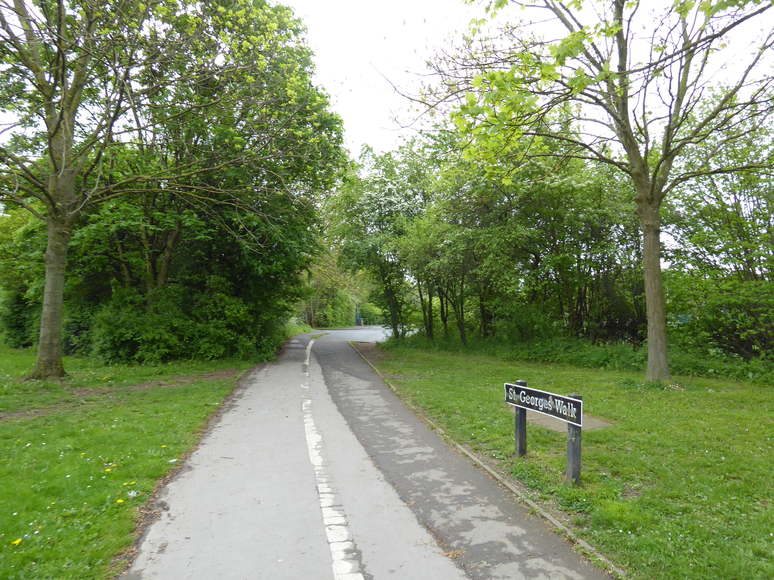
| Sharing the Wakefield Wheel path, Stand Bridge. |
Across Standbridge Lane by Kettlethorpe Primary School, we take the turn down Kettlethorpe Hall Drive, at the top of the local estates, taking us through the trees and past the hall itself, passing its park and angling lake, as we take the drive onwards as it leads over Owler beck and up onto the A61, where we continue south, past the Pledwick Well inn and the almshouses, before passing above the cricket field and diving down Slack Lane as it passes over the stream down from Newmillerdam again and then rises up again, at quite a drag up past the Durkar Devils FC fields and the farm hamlet that named it. Arrive upon Boyne Hill as it offers quite a view over the crinkles in the landscape south of the city, where the fields are still tilled among the suburbs, with our almost country lane leading us on into Chapelthorpe, where Stoney Lane leads us into a village landscape, with the Old Hall and Bay Horse inn with it, punctuated by the previously observed MR Royston – Thornhill railway line passing through it, before the last hurrah of suburban Wakefield arrives with the semis and estate houses of Hall Green reaching up the hillside to Dane Royd school and the very limit of the greater city. The open fields of Woolley Low Moor lie beyond, with the lane leading uphill to the tree lined fringe of the considerable Woolley Edge hillside, passing Tithe Lathe house and the nursery before pushing up through Totty Springs wood on the sharply rising Bolton Wife Hill to meet the Gallows Lane corner and progress onto the shallow and declining eastern face of the hill, crossing Woolley High Moor some way below its summit at Beacon Hill, while still offering views to the landscape that drains towards the Calder, beyond the fields of rapeseed and the plantations of Seckar Wood and Newmillerdam, despite the pervasive gloom.
 |
| Kettlethorpe Hall. |
 |
| Slack Lane and the Owler Beck crossing. |
 |
| Stoney Lane, Chapelthorpe. |
 |
| The urban limit of greater Wakefield, Hall Green. |
 |
| Totty Spring wood, Woolley Edge. |
 |
| Woolley High Moor, and Beacon Hill. |
There’s fun with transporting hay bales going on at the Water Lane corner, where we gain a footway to pace as we follow the snaking lane that leads us towards Woolley village, the only settlement of note on the entire face of this hillside, not seen on our travels since the Wakefield Way brought us here on the wanderiest of circuits in 2015, it’s route soon met as we come past the village hall and green, and suburbanism still swells here, despite its out of the way-ness, noted along High Street and Church Lane as we come around to meet St Peter’s church, where a bench in the yard offers a fine midday lunch spot. Fortified, we move on, to aim ourselves onto the rise over the Calder-Dearne watershed, met as Back Lane leads us to the westwards and uphill turn of the sunken Gipsy Lane, which rises below the secondary top of this upland, Haw Top which stands only 2m lower the main summit off to the north, and we’ve regained views to the east before we come up to meet Woolley Edge Road, the unusually busy lane at the sharp hillcrest, where sight of the Dearne valley cannot be gained thanks to the heavy tree coverage on the slopes above what was once Woolley Grange colliery. The entrance to the suburban development on the site below is passed and the view to the south and west gradually emerges, looking over western Barnsley initially and then expanding to reveal Kexborough, the Cawthorne valley and the upper reaches towards the distant southwestern horizon of the county, with the eastern views passing behind Haw Top before we enter South Yorkshire by Windhill Gate farm, descending from the high crest and meeting the upper northern edge of greater Barnsley itself with the Windhill council estate, blessed with fine views over the Dearne to compensate for its elevation and relative remoteness.
 |
| Water Lane takes us to Woolley. |
 |
| St Peter's, Woolley. |
 |
| Gipsy Lane returning us to Woolley Edge. |
 |
| Woolley Edge Road, and Haw Top. |
 |
| The view to the Dearne valley, above Windhill. |
 |
| Windhill estate, the northern limit of greater Barnsley. |
The rise of the central hill of Staincross pushes us back onto the Calder side of the ridge as the suburban growth up here favours the views to the east as we come down on the long drag off of it over Staincross Common, checking only Notton Woods and Royston in the local landscape, while finding that the distant eastern horizon of Wakefield district offers little to grasp beyond the hilltops at Pontefract and Upton, before we land in the full blown suburbs in this quarter, leading down to the passage over the B6428 and continuing down Paddock Road to the side of the A61 to tangle us up with 2019’s route into town. There’s no obvious alternative route to take from here, as we ride the ridge down between the Calder and Dearne valleys, making the decisive shift as we switch sides on the Wakefield Road as we come down by the new Lidl store and come in between the Eastfield Arms and the Staincross station site on the Barnsley Coal Railway, which passes beneath our feet as we carry on between the Athersley and New Lodge estates, with the day’s gloom barely enhancing the landscape as we pass the post office and Co-op on the Laithes Lane corner, and note the Roundhouse Medical Centre and New Lodge WMC across the way. We can also look to the town on the far side of the valley, rising high on the far bank, seen across the sheds and fence wholesalers before we turn away from it, joining the A633 Rotherham Road (a distant town name surely making its first appearance in these annals) as it splits off on a continuing south-easterly track, not presenting any vintage of note as its suburban all the way on the high rise on the northern side of the Dearne Valley, rising below the South half of Athersley’s estates, with only the Farmfoods and Tesco stores breaking up the landscape before we pass over the Carlton Road junction and rise on to meet the playing fields ahead of Monk Bretton.
 |
| The Calder catchment, from Staincross Common. |
 |
| Suburban Barnsley, Staincross. |
 |
| Wakefield Road, Staincross. |
 |
| Wakefield Road between Athersley North and New Lodge. |
 |
| Suburban Barnsley, Rotherham Road. |
 |
| Suburban Barnsley, Monk Bretton. |
The old village sits beyond sight to the north, consumed by suburban Barnsley, of which there’s a lot more of than I would have anticipated, and thus we await the next reveal across the valley, initially towards the town hall by the Full House inn and then to Oakwell stadium as we come to the rather challenging crossing of Burton Road, before passing above the woodlands at the top of the Dearne Valley country park, and getting confused when it comes to identifying the former passages of the lost railway line and the Barnsley canal below the road, flanking the Cliffe Bridge chapel. As we come down to the A628 junction among the suburbia of Cundy Cross, the sunshine mocks us by making the briefest of breakthroughs, before gloom resumes just as we’ve made the crossings among the council houses to find Abbey Lane as it takes us down to Monk Bretton Priory, the Cluniac establishment that is surely the finest antiquity in the borough, with its gatehouse and monastic building only being viewable from without as it’s not open for visitors today, so observances will have to be made from without, with English heritage getting a black mark for the day before we head down to the riverside meadows, to take late lunch. Grange Bridge takes us and the A633 over the river Dearne, which we’ve come down to without really noticing, and then it’s uphill with Grange Lane on the far side, finding a landscape of industry to pass through as the 5,000 miles Up Country ticker goes over, giving me the third and final of my walking targets long before my 50th, as we rise up to Stairfoot, where the railway lines, and companies, used to pile up above the Doncaster Road junction, where we’ll rise to the old MS&LR line, and the current Trans Pennine Trail route to follow it away from the town, getting us outside our field of Walking Experience as we trace our way through the site of Stairfoot station and its memorial park.
 |
| The view across the Dearne Valley to Oakwell stadium. |
 |
| Cliffe Bridge chapel between lost railway and canal. |
 |
| Monk Bretton Priory, view from without #1. |
 |
| Monk Bretton Priory, view from without #2. |
 |
| Grange Lane, and the TPT bridge, Stairfoot. |
 |
| The Stairfoot station Memorial Park. |
Beyond that, the path takes a rather wonky detour is needed to get around the post-industrial void that takes us around the Stairfoot goods yard and the New Oaks junction site, before we get back onto the straight run of the alignment in a shallow cutting within earshot of the A633, shadowing the lost railway line as we progress southeast, not really getting a scope of our location aside from the rise of Ardsley’s hill to the north of us, ahead of the aroma of wild garlic filling the air, placing us above a river that turns out to be the Dove, the main southern branch of the Dearne, met without much of a landscape transition being made. Next in the landscape is the site of Aldham Junction, where the Worsborough incline used to rise west to the main Trans Pennine route via Woodhead Tunnel, a path to be saved for later as we now need to seek a route to our finish line as we pace behind the site of Mitchell Main colliery and join Bradberry Balk Lane as it takes us away from the landscape of light industry and back into greater Barnsley, across the former Dearne & Dove canal channel (without us noticing) on the way up past another Lidl store and our passage over the A633 as it bypasses Wombwell, not that we’ll be seeing too much of the old passage of Barnsley Road, as Wilson Street leads us directly uphill. This landscape of uniform redbrick council houses is not the best way to be introduced to Wombwell, but it’s the shortest straight-ish line route to get to the railway station, which lies some way away still, beyond the downhill run of Aldham House Lane and Windmill Road, where the Barley Sheaf inn and the view over the Wombwell Main sports and social club, and its cricket field, are the points of interest at its western suburban perimeter before we land on the B6096 Hough Lane, just to the east of first new railway station of the 2022 season, where we land at 3.50pm, having maintained an admirable pace over 16+ miles.
 |
| Stairfoot goods yard and New Oaks junction. |
 |
| Old Farm Lane bridge, on the Trans Pennine Trail. |
 |
| Aldham Junction. |
 |
| Barnsley Road, Wombwell. |
 |
| Wilson Street, Wombwell. |
 |
| The Wombwell Main Cricket Field. |
Of course, having maintained my end of the bargain in no way guarantees that our transport providers will be upholding theirs, as we land to find that the 1556 service has been cancelled, due to a lack of train crew, and that seems to be the issue that Northern seems to have been blighted with since Covid became a thing, and we can only hope that it’s not going to continue as that, combined with the TPE-RMT beef, could lead to all sorts of travel issues across the summer, though for now, a cancellation and a delay merely add an hour onto my trip homeward, and I’ll just curse them by starting to publicly call them ‘Northern Fail’ again.
 |
| Wombwell station, the first of the many new destinations we will be visiting in 2022 |
5,000 Miles Cumulative Total: 5479.2 miles
2022 Total: 195.5 miles
Up Country Total: 5,003.5 miles
Solo Total: 5148.6 miles
5,000 in my 40s Total: 4074 miles
Next Up: One station South of Wakefield, to Two stations South of Barnsley.


No comments:
Post a Comment