16.9 miles, via Southgate, Friarwood Gardens, Marl Pit Hill, Purston Jaglin,
Little Went Bridge, Offley Bridge, Hemsworth Lane Ends, Newstead, Havercroft,
Lund Hill, Monckton Main Colliery, Royston, Muscle Hill, Staincross, Mapplewell,
Swallow Hill, Barugh Bridge, Low Barugh, Redbrook, Wilsthorpe, and Greenfoot.
The warm and bright weather that flanked both sides of the long Easter weekend doesn't seemed have endured as our next excursion rolls around, which is a shame as we are supposedly at that point in the season where Spring flips over to being mostly warm, and we start to schedule the longer trekking days accordingly, and having spent the opening quarter of the year keeping things relatively local, we need to start aiming further afield as there are plenty of new destinations to be had beyond West Yorkshire, and that will all start today, as we ride to Pontefract again, to start from Monkhill station once again. We depart at 9.30am under glum skies and a stiff breeze and set a course down the station access road, for a change, leading us to North Baileygate to pass around Pontefract castle to its west, to bring us by the partially ruined All Saints church before we set the southwesterly course for the day by joining the A645 Southgate, which takes us below the flats blocks and the spread of the old town on the hilltop, and above Baghill station, the old Pontefract General infirmary and the new Hospital, and the extensive Friarwood gardens, on the site of the Black Friars monastic establishment, the second such in the town. Tangle with the A639 at the west end of town, and keep on with the A645 as Wakefield Road pushes away, past a proper urban ruin below Priory Wood and uphill among mostly terraces on the rise to the west of the town, where we meet estates around the hilltop, once home to Pontefract barracks and its battlemented keep, now a business centre next to the modest home of the 8th Rifles, beyond which we descend down Marl Pit Hill, with the countryside being met past the Kings Croft Hotel and the crematorium, as we pass among the equestrian fields around Ravensknowle farm and its Farmer Copley’s produce store. The rural break isn’t a long one though, as the urban reach of greater Featherstone soon strings itself along the Pontefract Road-side, with the suburban ribbon accompanying us down to the derelict school site, an ideal spot for a redevelopment, surpassed by the new Featherstone academy behind it, before we land among the terraces that you’d expect in this former mining town, which has consumed the once separate village of Purston Jaglin at its eastern end , which is still one of the best names in the county, and we pass the White House inn before we quit the A645 at the corner by The Traveller’s Rest.
 |
| All Saints church, Pontefract. |
 |
| Friarwood gardens, Pontefract. |
 |
| Pontefract barracks, Wakefield Road. |
 |
| Ravensknowle Farm, Wakefield Road. |
 |
| Suburban Purston Jaglin. |
 |
| Estate and terraced Purston Jaglin. |
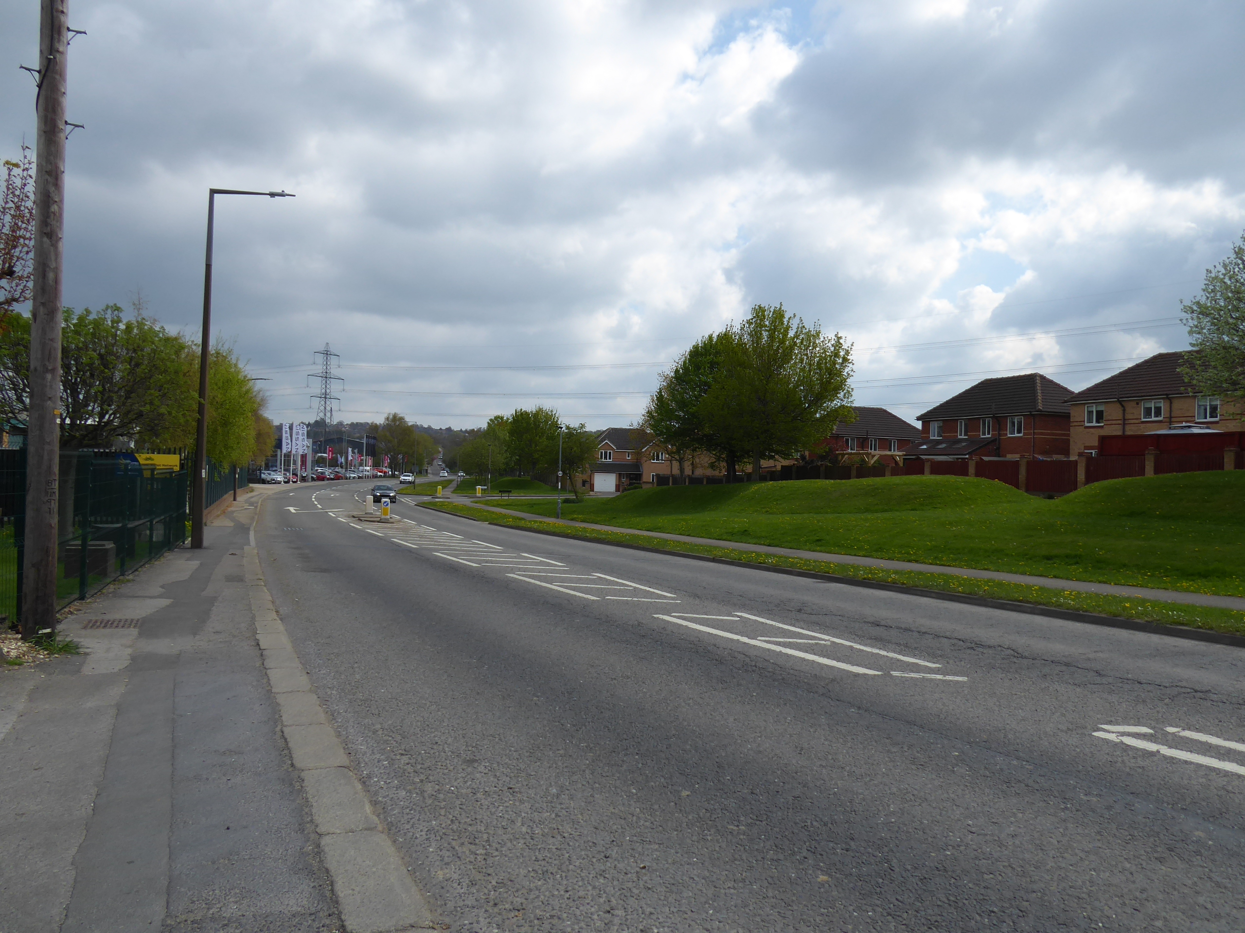
The B6421 Hall Street soon turns into the Ackworth Road as it snakes its way around Purston Park and the hall which parented it, getting us through the suburban edge of Featherston before we depart by the lodge house, and get onto the road which will carry us through an absurd distance for the day, as the B6428 Went Lane sets us on a clearer course across the Went valley, directing us downhill through the rapeseed fields again as we follow the footway down to Little Went Bridge on Went Beck (not the Little Went itself, that’s far off to the east of here, beyond Ackworth) before our pavement suddenly ends below our feet. So, rising on the far side, is going to need some care as high hedges restrict our sight lines as we come up to Owlet Hall farm and the corner that leads to West Hardwick, and even once on a familiar road it’s wise to keep outside the white line at all times as we are aimed to the east of Nostell Priory, as there are far too many drivers ripping us this lane on the rise up to the crest that gives us enough elevation to track the route back across the valley before we restore a new course at the Cross Hands Lane corner. This leads us to the A638 Doncaster Road, where we track around the traffic island before the ongoing Offley Lane dives downhill, taking us towards an old quarry and the passage over Hessle Beck via Offley Bridge, noting that this stream flows east, towards Ackworth and the rivers Went, as the lane beyond runs close to its edge for a while giving us a more pleasant aspect with better sightlines and wider verges to pace along as we continue southeastwards, never quite getting a location fix despite knowing how close we are to Fitzwilliam, and thus it's a relief to regain the footway as we come in towards Hemsworth Lane Ends again, tying off another loose end by the Catchpenny inn.
 |
| Purston Park. |
 |
| Little Went bridge, Went Lane. |
 |
| Owlet Hall Farm, Went Lane. |
 |
| Went Lane approaching Doncaster Road. |
 |
| Offley Lane descending to Offley Bridge. |
 |
| Hemsworth Lane Ends, at Fitzwilliam. |
There’s not much village to be seen before we are under the Low Bridge and out into the fields beyond, taking glances back as Newstead Lane snakes away, certain that we have a sequence of two express trains and one local service passing on the mainline before it falls out of sight, as we settle in among trees and thick hedges that give us no better scope of the landscape than we did when we last passed this way, in the dense mist, before we come around to the lost farm hamlet of Newstead, where its Grange and Hall site sit on the hill crest ahead of the descent into Havercroft. Cow Lane takes us downhill through this village of mining vintage estates, placed here in the mid 20th century, passing over the beck that flows north towards the Calder, and rise through the landscape of redbrick and stucco-clad semis to meet the Millennium Garden and parkland that occupies the path of the former Dearne Valley junction line, where we pause for a brief lunch break, with barely any shelter from the stiff breeze, before we press on up to the village school where the monument to the five historic collieries of the borough can be found. It’s downhill again beyond the memorial garden, pond and green at the end of Cow Lane, sticking with the B6428 as it takes us down to the Hall Field Lane corner, getting sight of Felkirk church as we go, before crossing Church Lane by the Kennel and Cattery, and get a sense of starting to drift into the Dearne Valley as we look across the fields to the Rabbit Ings country park, itself a reclaimed colliery spoil tip, and to the obvious remains of a nearby colliery tramway, leaving an indelible mark on the landscape as it shadows Lund Hill Lane down towards Royston and our passage into South Yorkshire.
 |
| Express train spotting, on Newstead Lane. |
 |
| Newstead Grange, Newstead. |
 |
| Cow Lane, Havercroft. |
 |
| The Millennium Garden, and Dearne Valley Junction Line, Havercroft. |
 |
| Havercroft green lane. |
 |
| The Colliery tramway, and Rabbit Ings park. |
Landing in the metropolitan borough of Barnsley, we are soon among the remains of the Royston Coke Works, on the site of the Monckton Main colliery, which has been mostly demolished with only a couple of structures remaining, as if the redevelopment of the site has stalled, before our road drags us downhill into the influence of the Dearne, passing the west end of Rabbit Ings park before heading under the North Midland mainline, by the site of Royston station, and thence uphill, over the Barnsley Canal channel and along Midland Road as it runs on through the village, reaching on to the west. It’s an uphill and twisting route to get to the main street, which offers suggestions of the proximity to our destination as we look down the southern side streets, finding there’s a lot more to Royston than just as satellite to Barnsley as we press on, having had it clearly boom when mining was in full swing, having grown enough to warrant its own cinema, Salvation Army hall and multiple chapels back in the day, and now being a big enough village to need three supermarkets, which almost turns it into a town, all to be noted as we drift on, among the terraces and across the Church Street junction. High Street adds more of the pre-industrial rural flavour, and the post-industrial suburban growth as it progresses westwards, with the day’s sunshine making a definitive breakthrough as we push on to the west end, between the blossoming trees on the edge of the estates and among the rural cottages before the suburban development of Notton Wood View is met, to inevitably claim all the green and level fields at this end of the village in the future, which will endure untouched for now around the farmsteads of Muscle Hill.
 |
| Royston Coke works, Monckton Main. |
 |
| Royston (MR) station house, and the North Midland Mainline. |
 |
| Midland Road, Royston. |
 |
| Midland Road again, Royston. |
 |
| Lee Lane, Royston. |
 |
| Notton Wood View, Lee Lane. |
The embankments of the former Barnsley Coal Railway bisect these fields beyond Royston, reaching southwest towards the Dearne valley as that watershed seems to have wandered away from us, looming large as we drop down to another stream crossing, which flows north towards the woodlands of Notton Park, and places back in the Calder catchment, and not all that far from Wakefield district despite our trajectory, which is revealed more clearly as the lane rises, taking us up past the driving range of Barnsley Golf Course and up to the A61 Wakefield Road, by the Shell garage and the turnpike toll house. Now on the edge of suburban Barnsley, we rise on as we enter Staincross, with Shaw Lane dragging us up among the semis to the Calder-Dearne watershed, before Greenside tilts us down the far side, among long runs of terraces downhill, taking a second lunch break when a bench is offered in the yard of St John’s church before continuing, past another defunct cinema and the Wentworth Arms inn, across the transition into Mapplewell at the Towngate corner and on with Spark Lane as the village clings to the valley side, above the passage of the former railway spur into Gawber Main colliery. Post-industrial scarring blights the landscape as we head into the green valley, as brickworks and collieries once sat above the farmsteads of Swallow Hill, and the horizons about put us back into 2019’s landscape before we come down to pass over the river Dearne at Barugh Bridge, and follow its side as it and we pass under the railway line, and uphill into Low Barugh, passing the Millers Inn and not quite noticing the whereabouts of the Barnsley Canal’s path as it reached west towards its terminus, and we are drawn up to the side of the A637 Barnsley Road, where housing developments are claiming the Silkstone junction site.
 |
| The Barnsley Coal Railway, from Lee Lane. |
 |
| Notton Park woods, from Lee Lane. |
 |
| St john's church and Greenside, Staincross. |
 |
| Spark Lane, Mapplewell. |
 |
| Spark lane, Swallow Hill. |
 |
| The Barnsley Canal route, Low Barugh. |
If we stick to the B6428, we’ll be Dodworth bound in no time, and as Barnsley now sits to the southeast of us, we’ll need to make a dynamic turn to reach it, joining the A637 Claycliffe Road as we start an uphill slog between the outer suburban band and the light industrial landscape that leads us to the end of this lane, joining the A635 Wilthorpe Road by the Chestnut Tree inn, and across from the corner which we last visited in this quarter three seasons back as we start a further climb, unwelcome as we delve into the trip’s sixth hour, taking us up through suburban Barnsley and past the Redbrook business park. A road crest, by the Business & Innovation centre at least offers us a milepost with the consolation of there being only one mile to go as we skirt around the hillside that has Gawber village and the Barnsley hospital at its top, as the Huddersfield Road leads us among the many suburban faces of Wilthorpe, and noting the Tesco store in the old pub and the interesting design of Emmanuel church before we come around to the next crest on the lane, above Wilthorpe Park and past the former Barnsley High School for Girls, on the edge of the Victorian villa district of Greenfoot. Leafiness and proud townhouses fill the landscape as we’re drawn into the town, over the Penistone Line and past the former offices of the NUM, ahead of the tangle of lanes on the end of Church Street, where we’ll pass above the campus of Barnsley College and below the parish church of St Mary the Virgin, and land in the considerable shadow of the town hall before we set off down Regent Street, past both of Barnsley’s former courthouses before we arrive across the way from the bus interchange, and the station lies beyond its space-age footbridge, where our first jaunt of the year into South Yorkshire ends, at 3.50pm.
 |
| Claycliffe Road. |
 |
| Wilthorpe Road, Redbrook. |
 |
| Huddersfield Road, Wilthorpe. |
 |
| Huddersfield Road, Greenfoot. |
 |
| St Mary the Virgin, and the Oaks Memorial, Church Street, Barnsley. |
 |
| Regent Street and the old Courthouses, Barnsley. |
5,000 Miles Cumulative Total: 5462.6 miles
2022 Total: 178.9 miles
Up Country Total: 4986.9 miles
Solo Total: 5132 miles
5,000 in my 40s Total: 4057.4 miles
Next Up: Taking the Long May Day weekend off, and pondering the State of our World.


No comments:
Post a Comment