10 miles, via Lofthouse Gate, The Nagger Lines, Stanley Ferry, Birkwood Common,
Newland Park, Goosehill, Warmfield, Warmfield Common, New Sharlston,
Coalpit Field, Sharlston Common, Windmill Hill, Foulby, Nostell Priory,
Garmil Head, and Hemsworth Lane Ends.
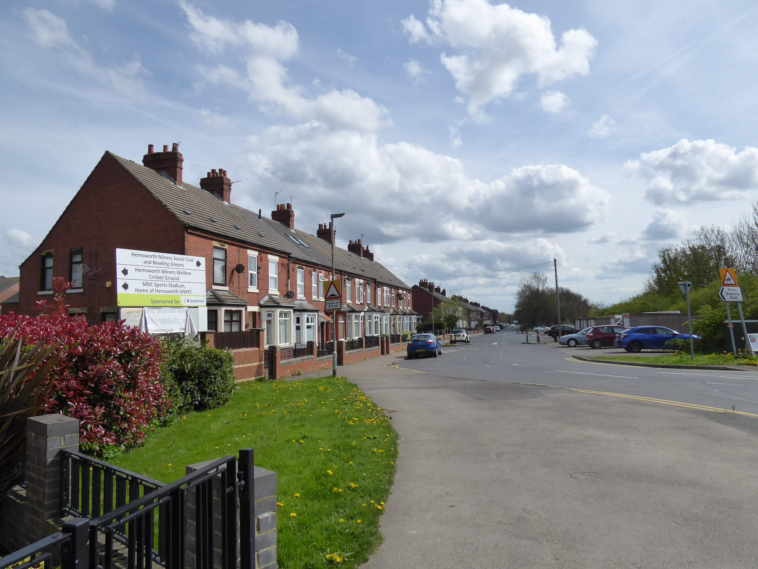
The three day walking burn across the long Easter weekend is a rarer beast than might have been expected, as this turns out to be only the second time that I've actually completed one, the first time since 2019, and it's a good feeling to have as we keep the legs going in an intense burst so that we might keep the mileage up while other April Saturdays are lost due to the need for necessary socialising, and thus we head into the last trip from greater Wakefield to the local railway stations that I've never finished a trip out to, dawdling our way down to Outwood on a train that feels like its getting held at every signal. Alight at 9.40am, with not too many original footfalls to be made across the first hour or so as we seek the railway paths again, starting out via Lingwell Gate Lane and Potovens Lane as they lead among the suburbia of Outwood and Lofthouse Gate to the obvious hump in the latter where it passed over the Methley Joint Line, before seeking the path behind the back gardens to pick it up in the cutting that leads up to Leeds Road, as well as the section beyond the A61 that has now got its cycleway in situ, both of which weren't traced when we came this way in 2014, extending the accessible route as it presses on east towards Castleford. We'll take a right turn at Anaheim Drive to head south-east as we join the Nagger Lines, the old narrow-gauge railway that serviced Lofthouse Colliery, which now forms another local path behind the suburban gardens of Outwood and Stanley, which seems well used by local exercisers as it pushes us down to Rooks Nest Road and the packet of enduring green fields beyond as we come down to Lime Pit Lane, where the rails are still embedded in the tarmac, and acafe has developed in Spa Fold farm, with a hard path leading us on along the edge of the green before we cross the A642 Aberford Road. It's quite a descent to get to the low section, entering the fields around the meandering river Calder, which hides from view as we pass by Smalley Bight farm, as we look back to the terraces on the road into Wakefield and the treetops of the Stanley Marsh nature reserve beyond them, pondering how many times we've already paced these paths on our travels as we come down towards Stanley Ferry, at least carrying a better understanding of the industrial landscape of the area than we did during my novice days on the trail, acknowledging the Victoria colliery site to our right before we emerge onto Ferry Lane.
 |
| The Joint Line Bridge rise, Potovens Lane, Outwood. |
 |
| The Joint Line greenway extension, Lofthouse Gate. |
 |
| The Nagger Lines, Stanley. |
 |
| The rails in situ, Lime Pit Lane, Stanley. |
 |
| The Nagger Lines, near Smalley Bight farm. |
 |
| The river Calder downstream from Stanley Ferry. |
Make a left turn, passing the marina and wharf as we pass over the river Calder and the Aire & Calder navigation in short order, certain that there's a sneaky riverside route to Newland Park from here, but doubt about its accessiblity has us sticking to Birkwood Road instead, progressing uphill without a footway as far as the Stanley Lodge track, which isn't an ROW either, and thus rise to Birkwood Common with the views expanding over the lower Calder and back towards Wakefield as we pass around Birkwood farm, with is fields of grazing horses and run in towards Altofts. The footpath route south is met, eventually and we strike south towards Newland Park, only traversing the boundary of one field before we land on Friday's path, taking us along the boundary wall before meeting the heart of the park, and follow the Trans Pennine Trail's bridleway route south, away from the dereliction of the hall site and its farms, down to the Newlands Lake, the last remnant of coal mining efforts on this site, before rising on south, around the extensively reclaimed sites of the St John's collieries and on among the many paths of uncertain accessibility. We are led to Goosehill Bridge, which has been partially replaced above the old railway junction since we passed over here in 2015, before we rise through Goosehill hamlet, noting the lodge house to the park before we are propelled uphill on a rise that we knew was coming, among the farmsteads ahead of Warmfield, which will be seen up close after missing it on Saturday, noting the Plough inn on its bluff overlooking the decline of the Calder and pacing among the mostly rural vintage cottages ahead of the A655, which is crossed to land us on the edge of Warmfield Common, just in time for elevenses, while sealing the central triangle of paths over this long weekend.
 |
| The Aire& Calder Naviagtion, Stanley Ferry. |
 |
| The rise over Birkwood Common. |
 |
| Disuse and Dereliction at Newland Park. |
 |
| The landscape of tracks and post industrial scarring, Newland Park. |
 |
| The Lodge House, Goosehill. |
 |
| The Plough Inn, Warmfield. |
Resuming the trek south, we pass alongside the rough grass and gorse bushes of the common, and start our passage across the uppermost Went valley, not that it really feels much like it at this high reach, with attention soon being drawn to the two long terraces at New Sharlston, once bounding the site of New Sharlston Colliery to the east, but now incongruously located in the countryside, soon met once we've passed over the remains of the bridge on the Snydale collieries branch line, with the Crossley Street terrace keeping us company all the way down to High Street, where we meet yet another winding wheel memorial. Cow Lane takes us south, opening a view to the west that leads the eye to Emley Moor and Holme Moss, and across the nearby city, giving us the feeling that we could be at the uppermost edge of the Calder - Went watershed, as we carry on over Coalpit Fields, with the Wakefield to Pontefract line passing below us as we are drawn on towards Sharlston Common again, coming up to the A645 by St Luke's church once again, and crossing over to start the claimed of the year's walking terrain southwards as we join West Lane, taking us through the green space that hasn't been claimed by the swell of rural suburbia. Old Sharlston remains just about distinct from its neighbours then, as we graze its eastern edge by the White Horse Inn, though a suburban ribbon does fill one side of the rising lane beyond, getting the best of the aspect over Crofton as we travel up to the side of the A638 at Windmill Hill, turning away from the furthest extent of greater Wakefield as the Doncaster Road propels us away to the southeast, past the last tavern on the lane and through the fields to Foulby village, home to clockmaker John Harrison and to the Yorkshire Air Ambulance depot on the edge of the Nostell Priory estate.
 |
| Warmfield Common, and the Long Row terrace. |
The Crossley Street terrace, New Sharlston.
 |
| Coalpit Field and Sharlston Common |
 |
| West Lane between Sharlston Common and Old Sharlston. |
 |
| The suburban rise of West Lane to Windmill Hill. |
 |
| Doncaster Road, Foulby. |
The estate wall is met, leading us around to the bridge over the Upper and Middle lakes, giving a view of the Georgian house on its tree-clad promontory before we get tangled up in roadworks beyond, caused by a collapsed wall that seems like a bit of a theme along the stretch around to the estate's old Home farm and modern business park, ahead of the Wragby lodge and the view up to the parish church of St Michael & Our Lady beyond it, where we'll make the spot decision to not give the National Trust any of my money to get in an additional hour of trekking around their parkland. Split onto B6273 Garmil Lane as it passes between the local cricket field and the three sites of Wakefield Independent school, before settling in between hawthorn hedges and giving sight to nearby high points at Ackworth and Walton Wood, ahead of us arriving beside the rapeseed fields, with their yellow colouring and pungent aroma, looking across to the railway line towards Wakefield that offers no express train action before we land on the corner of Fitzwilliam by the Catchpenny inn at Hemsworth Lane Ends, across the B6428 in the only vintage part of the entire village. Everything that lies beyond, along the Wakefield Road, is a 20th century estate development that grew to house the workers of the Fitzwilliam-Hemsworth Collieries, and is now an urban village of some extent, which has gained the railway station that its neighbour to the southeast hasn't, and we'll seek that beyond the road kink and footbridge over the main line, to find it well hidden beyond Hill Top terrace when approached from the south, where a flight of steps leads us down to a 1.30pm finish line, outside our M-card comfort zone for the first time this year, meaning we are compelled to pay our way homeward (despite it being only a 40 minute trip).
 |
| Middle Lake and Nostell Priory House. |
 |
| Wragby Lodge, Nostell Priory. |
 |
| Hawthorn hedges and Rapeseed fields, Garmil Lane. |
 |
| The Catchpenny inn, Hemsworth Lane Ends. |
 |
| Terraced Fitzwilliam, Railway Terrace. |
 |
| Council Estate Fitzwilliam, Newstead Grove. |
5,000 Miles Cumulative Total: 5445.7 miles
2022 Total: 162 miles
Up Country Total: 4970 miles
Solo Total: 5115.1 miles
5,000 in my 40s Total: 4040.5 miles
Next Up: The (theoretically) Warm Half of Spring brings on the Long Trail Days.


No comments:
Post a Comment