 |
Long Distance Trek
means Selfies!
#1 at Morley Hole
|
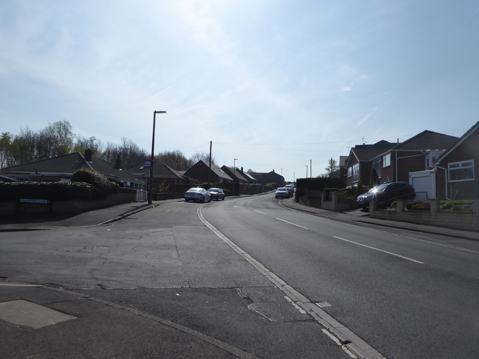
Taking last weekend off proved to be a great idea, as it transpired to not be the point in the year when Spring Warmth finally wins out and instead proved to be one of the chillier April days that I can immediately recall, so going to Manchester with my Good Friends from Calderdale for noodles at Shoryu Ramen, and some Bax, Walton and Vaughan Williams from the BBC Philharmonic at the Bridgewater Hall proved to be a much more sensible use of my time, while also giving my legs a rest. With that out of the way, attention can now focus on this year's long and crazy scheme, namely trekking cross-country from West Yorkshire to Leicestershire, one of those ideas I've had on the to-do list for a good few seasons but never got scheduled because of My Dad's inability to travel in his later years, and now, since his passing, My Mum and I can try holidaying away together as a duo, which would allow me to complete the middle portion of the 100 mile trip through Derbyshire, especially as she feels apt to drive a lot again after a few successful trips away in the last month. So before we can aim at a Maytime holiday to do the middle of the trail, and then the return to the county of my origin, we have to start out from home and having a long Easter Weekend to use is absolutely the best time to get that going as a modest first leg and a longer second will fit in nicely on Good Friday and the Saturday, and it's an even greater bonus that the Cold Season has finally slipped away to be replaced by a completely unforeseen blast of hot weather that's due to last the entire break. If heat is in the air, then getting an early start is in order, not quite getting up with the lark but ensuring that I'm prepped and at my start line at Morley Hole at 9.10am, ready to strike off to the south and find it frustrating that I really am starting to run out of unwalked road around my home town, and thus we start off along lanes that have been seen before, along Brunswick Street and up the wooded and unmetalled track over Dawson Hill, leading around Morley Hall and the hidden former burial ground before landing on Queen Street by the Mumbai Village restaurant and then pressing uphill past the cenotaph gardens and Scatcherd park, as well as the still derelict St Mary-in-the-Wood, to the main drag and the Town Hall.
 |
| Morley Cenotaph Gardens. |
I've walked this stretch on nearly every trip south from here, so it doesn't really need a particular description, but once we've crossed Fountain Street we can start picking out the previously unseen roads, like picking our way up King Street and passing the front of St Paul's church, even if it looks even more unassuming than its back end, popping out from this terrace by the island on Chartists Way, which we pass around in the shadow of the missing railway bridge to hit Bridge Street and pace past the Elmfield Court flats and then join Quarry Lane as it leads into Hembrigg Park. Morley certainly does have a knack for concealing parks in locations you'd only know about if you had reason to use them, and this one is no exception, occupying a former quarry site between three major roads and home to playing fields and playgrounds rather than a close or two of new-build houses, and I'll trace the path that leads me out onto Britannia Road, which wasn't the way I'd intended to go, but navigating a route isn't so easy when the park doesn't actually appear on my ancient E289 map. So pace along he sides of the A650 as it leads us past the Stump Cross inn, and then meet Howley Park Road between the Cross Keys inn and the Mermaid fish restaurant, which leads us around the side and back of Morley's ASDA superstore, which I've never visited, and on through the town industrial district, which lack prettiness and only features as I seek out new lanes around the town, finding a familiar route away as we land on Scotchman Lane and pass over the M62 bridge. Split off from the B6123 immediately and join the footpath that leads across the equestrian fields that used to be Howley Park quarry, which also leads me between the vents of Morley tunnel, which has me realising that my route will interact with all the trans-Pennine route south of the Airedale line, and so we tag the L&NWR Standage tunnel route as our first before we meet path that skirts and then crosses Howley Hall golf course. We came this way in 2013, on the Morley circular trip, and the path that leads behind the plots on the brick works seems to be much less overgrown than it was back then, despite there being much more shaded greenery on this occasion, and this lead us down to the passage of the Leeds Country Way, which we cross before seeking our off-piste route that leads us onto the exceptionally steep steps that lead us down into the cutting of the former GNR line from Tingley to Batley, where we can find the west portal of Soothill Tunnel.
 |
| St Paul's church, King Street. |
 |
| Hembrigg Park. |
 |
| The Cross Keys, Britannia Road. |
 |
| Morley Tunnel vent. |
 |
| Soothill Tunnel, West Portal. |
It's certainly taken a while to get to see this end, and it's walled off to prevent access with a facility installed to pump out the fetid air that has accumulated within, a stench that pervades the air and soon has you anxious to not loiter too close to it, and so we pass off down the cutting, which is damp going despite the large drainage channel alongside being unblocked, and this leads us along the lower edge of Soothill Wood before the trackbed disappears and we trace the path the once ran along the perimeter of a long absent colliery site. We run behind the council houses of Soothill, at the very outer edge of greater Batley, emerging by its low rise tower blocks and landing on the Kirklees Way route as it tracks up to the stone terraces on Grace Leather Lane, crosses the B6124 Soothill Road and then runs down Bridle Street as we look up to Hanging Heaton on the hillside opposite. We can then get onto a fresh path, that lead among the houses on Fort Ann Road and on to the estate access road of Mill Forest Way, which sits on the green frind of the town, and we can find a bridleway that has grown on a stretch of the GNR's line to Ossett, that most vanished of railway lines, which take us behind a factory and onto the superseded Grange Road, with the new B6128 Challenge Road obliterating the trackbed that led to the completely buried Shaw Cross tunnel. So up we go on this pleasing green lane, around the fields of Grange farm and up to the A653 Leeds Road by the playing fields with a view, crossing over by the Jet petrol station on another lost colliery site, and joining Chidswell Lane as it leads us through the outer edge of Greater Dewsbury, where only hints of its village status endure, mostly concealed by bungalows and council flat blocks, only getting the rural flavour by the farm shop and the Huntsman Inn. We on the green fringe again here, looking across the fields to the middle Calder Valley towards Emley Moor to the south and forwards to see the Gawthorpe water tower looming above the rural cottages that sit along this narrowest of lanes that remains thankfully quiet as we come upon this structure that has been noted for its prominence and visibility in the local landscape, fine looking in whitewash and atop its slender legs.
 |
| Grace Leather Lane, Soothill. |
 |
| The Ossett branch, between Batley and Shaw Cross. |
 |
| Chidswell Lane, Chidswell. |
 |
| Gawthorpe Water Tower. |
Move on towards greater Ossett, but do snare that views towards Tingley, Ardsley and Wakefield for good measure before we pass the equestrian ground and the playing fields before landing in Gawthorpe, pacing along Cross Street with its cottages surrounded by suburbia, to meet the corner by the maypole and the Shoulder of Mutton, finding it all looking much brighter than it did when the Wakefield Way passed this way on a rather damp 2015 day. Pass in front of the pizza shop in the most prominent location in the village and away up Swithenbank Street, which takes us over the A638 Ossett bypass, and into the suburban plots beyond, where the most obvious road forward might not actually be the best one to take, and so we join Bridle Lane as it leads us down a long parade of council houses that conceal the fact that it's one of the older lanes in the district, leading us down to the Dewsbury Road and the loose collection of older houses that formed the enclave of Ossett Street Side. The development of this town is one of the more baffling of all the West Yorkshire towns, seemingly avoided by all the major transport links but still growing as a suburban settlement between its neighbours, and its curiosity is further revealed as we head down Church Street to make another pass of Trinity church, the most imposing one in the county, and note its apparent distance from the actual town when built in the 19th century. Here's another route we've walked before, travelling westwards as it actually tacks south-east, taking in sights previously seen as we press down towards the CofE school, noting that the derelict Northfield mills have been residentially redeemed, but the tramshed and yard have gone, to be replaced by some modest houses in a development called the Sidings, and then landing on the Dale Street corner at the top of the town centre, tracing the lane south past the Co-op and the Horse & Jockey to the town hall. We'll not pass through the Market Place as the sunny morning has it looking super busy, instead taking the road that avoids it, Ventnor Way, which crosses yet another of this year's early season paths before giving us a look at the back yards of Bank Street and the close proximity of suburbia even here, before passing the Dearden Gallery and swinging around to set off with great purpose towards Horbury, taking us downhill past the Primitive Methodists chapel and the Thorn Tree inn.
 |
| Gawthorpe Maypole and the Shoulder of Mutton. |
 |
| The Former Flying Horse inn, Ossett Street Side. |
 |
| Trinity Church, Ossett. |
 |
| Ossett Town Hall. |
 |
| The Dearden Gallery, Ventnor Way. |
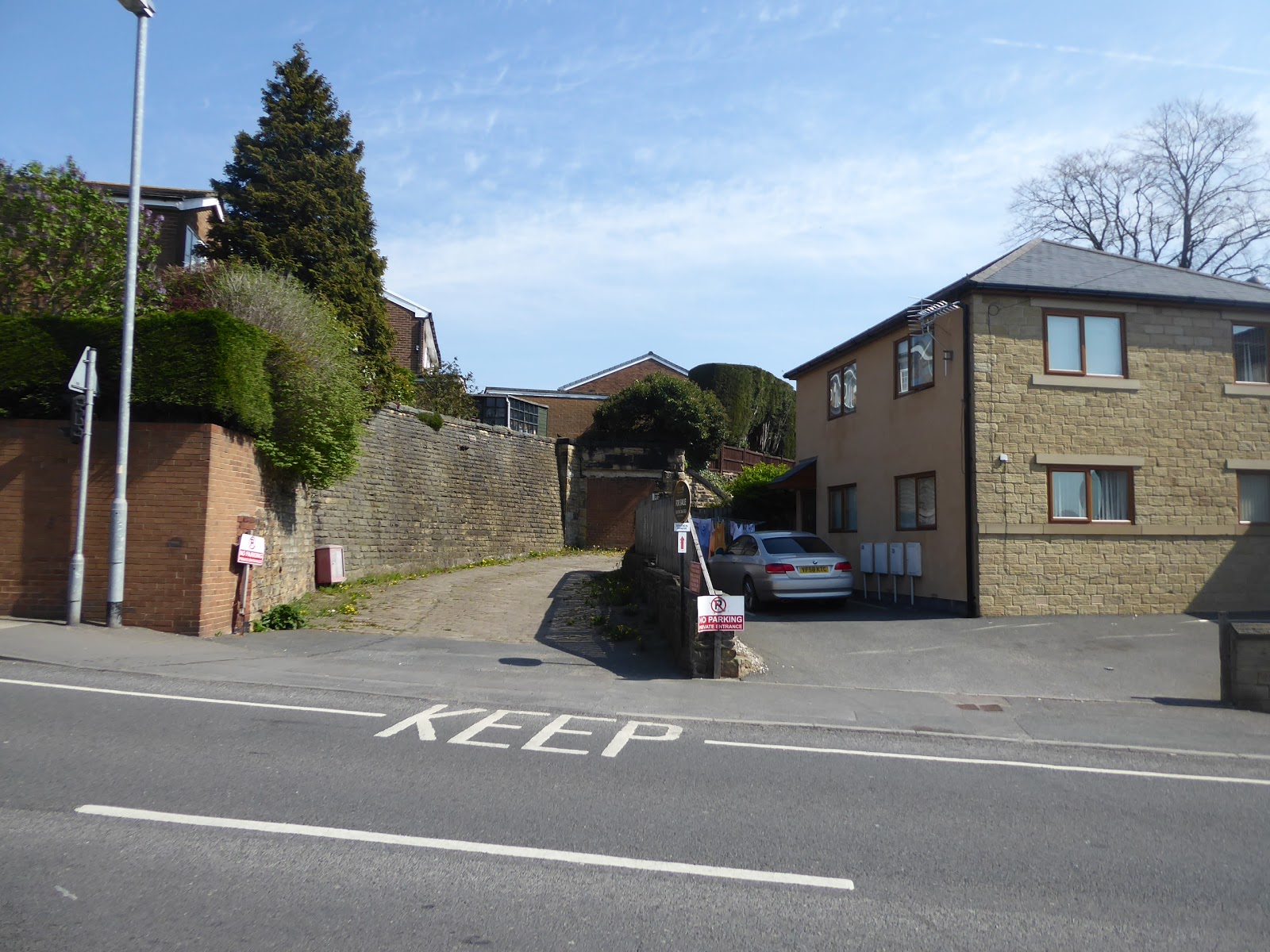
Move into a landscape of bungalows, with The Tap, Ossett Brewery's premier hostelry at its heart, and only by chance spot that this was where the GNR line came through the town as we espy the blocked off foot tunnel that once led to Ossett Station to the north of here, confirming absolutely that this is the most thoroughly erased former railway in the county, before we get the realisation that the last stretch will have to be navigated from memory as I don't have the E278 plate with me. I trust my sense of direction as we rise with The Green past some proud Victorian villas and the fields of Green Park as we are drawn on into South Ossett, where the modestly scaled and squat towered Christ Church sits atop the hill and the next right turn will take us to our destination, and we join Storrs Hill Road as it passes the Weavers Arms, St Ignatius's RC church, and the Ossett Academy, which hides from view beyond its car park, despite its immense size. The last steps are made through suburban Ossett before we reach the high edge of the bluff that it sits atop above the Calder, and we emerge with the lane as it declines steeply, below the rough plots of gorse bushes and down into the fields of Rapeseed, offering a lofty view of Horbury Bridge, with its viaduct prominent, and over the yards of Healey Mills marshalling yard, which is rapidly returning to nature, as well as to the hillside towns to the south, notably Thornhill, Middlestown and Netherton. We'll head down to again meet the route of the Wakefield Way, or at least the one I deliberately redirected away from the canal, as we meet the way over the throat of the railway yards, and with it cross trans-Pennine route #2, the L&YR line through Calderdale, before we land among the new build houses and terraces that sit around the cricket field and emerge into Horbury Bridge by the Horse and Jockey inn (another one?). We'll not press on to the Calder bridge, as we're only a whisker ahead of the next bus home, and we'll wrap this first leg of many at the bus stop on the A642 by the village school at a smidgen ahead of 12.30pm, having done enough miles already in this deeply unseasonal heat, and feeling like the legs need a rest after finally taking Pair of Boots #7 out on the trail for a breaking in session, and finding them rather stiffer and roomier than the last ones, no matter though as we'll soon be back into this trip, tomorrow!
 |
| Retaining Wall and former Ossett Station Subway. |
 |
| South Ossett, with Christ Church. |
 |
| Horbury Bridge, from Storrs Hill Road. |
 |
| The concealed residential terraces of Horbury Bridge. |
5,000 Miles Cumulative Total: 3764.3 miles
2019 Total: 113.9 miles
Up Country Total: 3371.2 miles
Solo Total: 3478 miles
Miles in My 40s: 2358.1 miles
Next Up: The Long Walk continues, from the Calder to the Don!


No comments:
Post a Comment