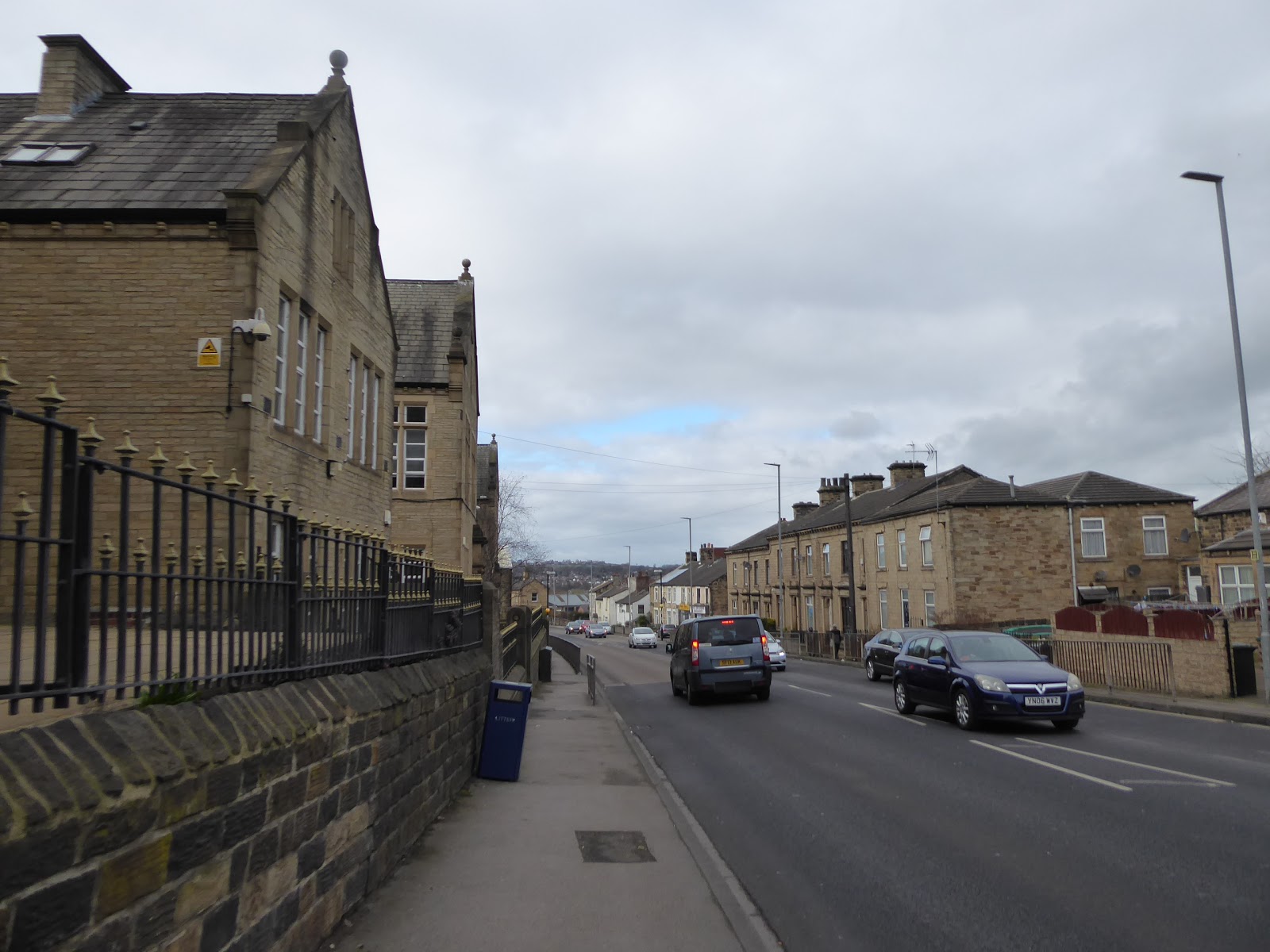
As I've said just about every year since we started this walking malarkey, 'March Means Serious Business' and with the events of the last month finally behind us, it's time to get back into the routine of getting adventurous and exercised with every weekend, and despite the unseasonal warmth of February being behind us now, the first burst of False Spring having passed, it's time to strike a bit further away from home, finding ourselves actually a week ahead of my considered schedule thanks to getting four trips out in my extra week off work. So we set a course for the heart of Kirklees district, as that's where I'm intending on spending most of this year, making my second trip from Morley towards Huddersfield, to hopefully prove it's a lot closer to home than I found it to be in 2014, and as variety is the spice of life, we'll start out from Morley Hole as it's got a sign that's every bit as good as the one on Queen Street, and it isn't nearly as uphill to get there from my flat, and it also gives me a chance to approach another couple of roads that haven't dropped on the schedule thus far. Away at 9.05am, in the hope of getting the trip done before the weather turns, heading up the A643 Bruntcliffe Lane between the terraces and bungalows as far as the Corporation Street corner, where we turn uphill directly into the low morning sun, passing among the suburban semis and noting that the warm spell has gotten the daffodils and crocuses flowering already to give a feeling of Spring while the trees hang barren, passing behind the Leisure Centre and the view over Morrison's down to the town hall, and past the civic quarter where the medical centre, firehouse and police station all dropped. Our fresh route ends as we pass St Francis of Assisi RC church and land on the island with the coal wagon on it between the Fountain Centre, the Working Men's Club and the former railway goods shed, before joining the B6123 Fountain Street, to pass over the lost GNR Morley Top route and then follow the exact same route that we last paced to get to Huddersfield a mere 5 (five!) years ago.
 |
| Morley Hole. |
 |
| The Fountain Street traffic island. |
Then on we go, past Morley Academy and down among the stoniest of terraced districts in this borough, feeling the wintery chill every time the sunshine disappears, and continuing to meet the converted chapel and school at the junction with the A650 Britannia Road, which we cross by the Halfway House and depart the town among the terraces and semis of Scotchman Lane, meeting the passage over the M62 to get the reveal of the way forward to Kirklees as path starts its first of many descents, looking us forwards to the Emley Moor masts, and to Castle Hill, revealed through the haze sitting behind the urban hillside of Staincliffe, which we'll passing over later today, after a fashion. Downhill we head with the B6123, past Morley's outlying suburban villas and on to the horrifyingly steep section down towards the Needless inn, past the riding school on the Howley Park colliery site, and down to the Leeds-Kirklees boundary at Howley Beck, where the road bottoms out and Howden clough reaches off to the north, and then we ascend with the lane into the outer portions of Upper Batley to meet the embankments and missing bridge of the former GNR line heading north of the town, and fill in a small but significant gap in my walking experience as we go. Switch sharply left to Batley Field Hill, where suburbia of every vintage rules the day, cresting again as we meet the Blenheim House wedding venue and conference centre, and then heading down into Batley proper past the loftily located school buildings and down through the embankment of the L&NWR Birstall Goods branch line, looking mightily engineered for such an utterly failed railway enterprise, sat only a short distance above the A652 Bradford Road. Batley's seeming absent town centre issue is encountered again as it really feels like it ought to be right here as we join Stocks Lane and pass the oversized Conservative Club, and the ancient and diminutive parish church of All Saints, before we rise uphill to pass the medical centre and the extensive and freshly redeveloped Blakeridge Mills site, which spreads out along the side of Mayman Lane with the municipal cemetery spread on the hillside above it.
 |
| Converted Chapel, Fountain Street. |
 |
| The Needless Inn, Scotchman Lane. |
 |
| The L&NWR Birstall Goods Branch, Batley. |
 |
| Blakeridge Mills, Batley. |
Another shift comes at the Healey Lane corner, where the main road doesn't follow the route uphill among the terraces that you'd instinctively feel was the correct route, instead turning westwards to pass along the edge of Jessop Park and into the intermediate district of Healey, which sits atop the hillside between Batley and Heckmondwike, with terraces, the former Shoddy and Mungo and the George Inn at its heart and with redbrick council houses on either side. As the road descends again, we feel ourselves slipping into the outer edges of Heckmondwike proper, as the stylings of the stone terraces change as Batley Road drops down, teasing another view over the rooftops and hillsides to Castle Hill before dropping down to meet the A638 Halifax Road by the Junction inn and the former Rag mill, and follow this pavement as we descend further in the Spen Valley. Previous trips in this quarter gave me no indication of just how much urban development dwells out here, as these various town all smush together, and the individual size and vintage of each of them can only be properly appreciated from the ground as we meet the bulky and considerably proportioned Upper Independent Chapel and its former school sitting opposite a vintage farmstead at the top of the town's High Street. There are more distinctly rural looking building at the lane side as we descend further, past the Royal inn and the Christadelphian hall before things get very urbane indeed as we pass around the site of Heckmondwike Grammar school, which has grown over a pretty vast site, showing us further how easy it has been to disregard this huge urban area between the major towns of West Yorkshire, all sat just up the hill from St James' church and the bridge over the site of Spen station on the L&NWR New Leeds Line, with the famous cutting completely obscured from view. We could have easily missed this orientation point as we meet the village green with trees clad in rough woollen cloth as part of an art instillation, and here we actually have to pick a route to continue west, and I'll briefly water here before selecting a way forward, dropping down to the old market place with the Prince of Wales (KE7 vintage) fountain clock of 1863 at its heart, where shoppers bustle around and I make myself scarce by slipping up Market Street as far as the Masonic hall.
 |
| Healey |
 |
| Upper Independent Chapel, Heckmondwike. |
 |
| Heckmondwike Grammar School |
 |
| Heckmondwike Market Place. |
Here we shift down Station Road to pass under the hefty steel bridges that once carried the L&YR metals into Heckmondwike Central station, and still carry the Spen Valley Greenway and NCN 66 on one of the best former railway walks in the county, a lost line to lament nonetheless as we keep on past the large site of Spen Vale Mill, with its long front wall occupying a stretch of the lane all the way down to the River Spen itself, forming an identifiable channel at the valley bottom. Enter the suburban stretch of Norristhorpe next as the road hits a long drag and short pull uphill pout of the Spen valley, giving grand views across this depression that feels much more distinct as you traverse it, rising to meet the Congregational chapel at the countryside's edge, where we can feel a lot closer to the Calder valley beyond the fields to the south and then rise on past the Rising Sun inn and past the rural terraces that conceal the suburban spread before meeting the hilltop by the recreation ground, where we'll briefly divert to visit the 125m tertiary trig pillar. Press on towards the A62, passing the most extraordinary general store of the type that you hardly ever see anymore as we go, crossing the Huddersfield Road and carrying on into the suburban semis of Roberttown, a place that I only know of because the #229 bus advertises passing though it and my inner critic wonders who'd desire suburban living here, at an even greater remove from the towns that surround it. I'm sure it'd win me over easily if it were a bit less blustery up here, and as we pace Lumb Lane, and on to Roberttown Lane we find the New inn and brewery, as well as a pleasing little parade of village shops on the long bypassed old turnpike, with the stone tearrces presenting a distinctly rural flavour among the suburban arrivals, and the view forwards past the former mill site and the Star inn advertises the way towards the Colne Valley, as Castle Hill stands sentinel again. Hitting some actual open countryside for a brief stretch has views opening out to the Colne-Calder hills, with the rising fields to the north showing up Hartshead on its elevated perch, and we descend to meet the isolated hamlet-let of Moor Top, featuring Roe Head mill, the home of Eurobung, and the Hollybank School, a residential and educational complex for the severely disabled which has just the nicest setting as the river valleys converge in the landscape below it.
 |
| The Spen Valley Greenway Bridges, Heckmondwike Central. |
 |
| The Rising Sun, Norristhorpe. |
 |
| Robberttown's High Street. |
 |
| Roe Head Mill, Moor Top. |
Then we hit the drag downhill past Whiteley's garden centre and the White Gate in to join the A62 as it will carry us on to our destination having finally down with the brising folds of the upper Kirklees region, though it's a long slip down among the scattered farms, including the notably appealing Mock Hall before we reach the outer edge of greater Mirfield, getting sight of the sharp edge of Dalton Bank long before we get to the point where the roads converge. Meet the A644 as it traverses Calderdale at the Three Nuns service station, across from the steakhouse that's now a memorable feature on the Kirklees Way route, the route of which we'll retrace as Leeds Road takes us around the gradually diminishing settling beds of the waterworks and past the Luddite Obelisk on the Wakefield Road corner, and on under the Calderdale railway line and past the active Calder sewage farm, and over the Calder & Hebble navigation before hitting Cooper Bridge, where a whole mess of previous trails have piled up in the 2012-14 bracket. So pass the Huddersfield Broad canal inlet and the distinctive Holme mills site to make with the main road for some hopefully level going into the heart of the Colne valley, starting uphill to the White Cross junction and the German kitchen store on the outer edge of Bradley, and on along Leeds Road, with its parades of stone terraces facing the Antich's English Tailoring factory and get a nasty surprise when an ancient milestone apparently indicates that it's 5 miles to go to Huddersfield, just as my foot starts to ache like it's had enough of the days going so far (and that turns out to be a complete comprehension error on my part as its actually one of those 3s written with a flat top that literally no one uses anymore). Push on through the pain barrier, not least because a bus ride homewards will take longer than carrying on to the end of the day, away from the dramatic entrance to the Colne valley and soon land on familiar territory again as we meet the point where the Calder Valley Greenway ends, coming up from crossing the well-concealed Bradley Viaduct, and the where the Birkby-Bradley Greenway starts, continuing up the MR's Newtown Goods branch beyond the stuccoed and whitewashed council houses. Past the Wise Owl inn, we arrive in Deighton, or at least the outermost portions of it, where we can cross the railway as it presses on into the valley, and land ourselves among the car dealerships that will be such a predictable feature of this wide and flat valley bottom, and passing below the broken abutments of the former L&NWR branch to Kirkburton, just this side of Deighton station, where I won't be breaking the day due to soreness in my foot, despite having never visited it previously.
 |
| Mock Hall. |
 |
| The Calderdale Line at Cooper Bridge. |
 |
| The White Cross Junction, Bradley. |
 |
| The MR Newtown Goods Line / Birkby-Bradley Greenway. |
 |
| The lost L&NWR Kirkburton Branch bridge, Deighton. |
Then on, over the Broad Canal by Woodhouse Mills bridge, where the millpond of the eponymous site endures as an urban fishing lake, and the feeling of being close to the town oddly diminishes as open playing fields and the wooded north side of the valley have you feeling like you are actually on another suburban ribbon through a rural landscape as a sequence of semis join the roadside. It is actually a very odd landscape down here, as the Dalton chemical works, owned by Syngenta, consumes a vast area to the south of the road, as well as containing quite a stretch of the River Colne, that so very nearly makes an appearance by our route beyond the dynamically styled Trafalgar Mills before moving away from us, hidden by more long ranks of terraced houses. The landscape continues with a semi industrial feel as we pass the Peacock inn and the way to Huddersfield Town AFC's training grounds, and also past the retail park that sits on the site of their former Leeds Road ground, where they became the first English team to claim three consecutive league titles in 1926, while I also feel moved to note the Morris Garage across the way, as that has endured bizarrely seeing as that company ceased trading in the 1970s. Press on, as the presence of the John Smith's stadium and the council incinerator on opposite sides of the valley give is the feeling that we must be close to the end by now, landing in a more conventionally urban landscape as terraces and a stray church sit by the side of Leeds Road, and we rise to pass between the gas holder and the Great Northern retail park on the former cattle market site, while the Broad canal passes below us again, and the road start its way into the tangle of Huddersfield inner ring road. Get our final and proximate view of Castle Hill before we ascend to cross Southgate and head into the town centre at last, up Northumberland Street which is home to some of the towns boldest Victorian buildings, notably the Mechanics Institute, the General Post Office and the Open Market, all just a short stretch down from St George's square, home of the railway station with the Corinthian portico, the statue of Harold Wilson, and the hotel where Rugby League was conceived. That's where this day's burn will wrap up, well ahead of the predicted weaterh turn and a whole four miles closer compared to my previous trip and only 4 hours 30 mins away from home, all done at 1.30pm, with time to lunch before my train ride commences, taking away with me the intent to do a lot more return trips here to see as much of this town as possible through the 2019 season.


No comments:
Post a Comment