 |
Long Distance Trail means
Selfies! #5 at The Queen's
Head, Saddington.
|
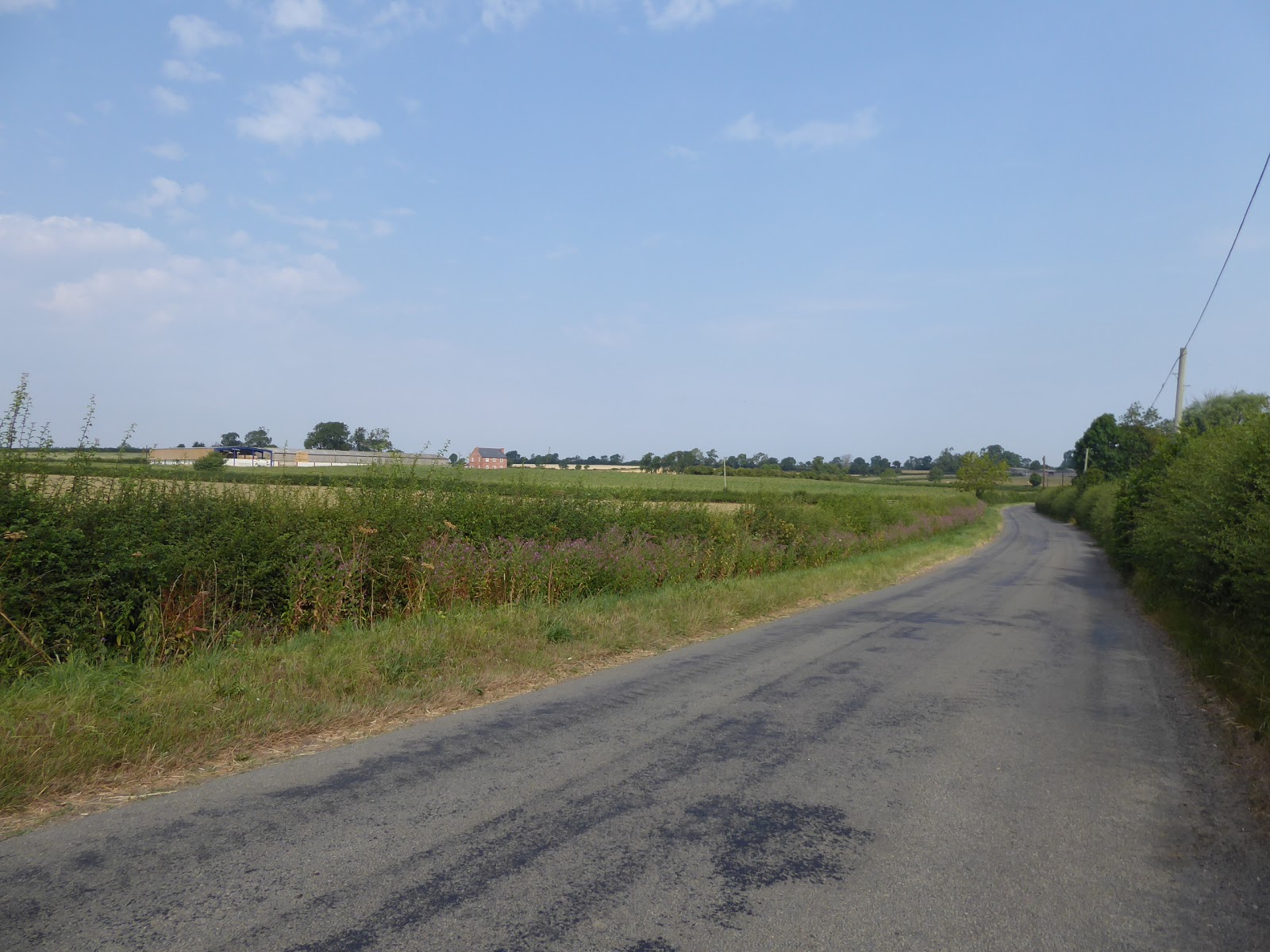
The off days between treks get filled with useful activities, like trimming My Parents' hedge (again), belatedly celebrating My Dad's 77th birthday, and mug washing (don't ask, long story), when we are not trying to avoid the heat, and after getting a Hottest Day of the Year peak on Monday, we get the promise of another on Thursday, so we need to plan creatively for a day that promises to get thirsty fast, and so I scheme the idea of chilling two litre bottles in the fridge, while freezing a third to ensure I have sufficient cool liquid in my bag for a six hour trek. Starting early is the other trick to beat the heat, as the Parental Taxi can get out to Saddington for an 8.20am start as we have probably the shortest drive out of the entire Round today, which is mildly ironic as the entire path for today will be through a part of the county of my birth that have barely seen in all my years, and so onwards, away from the Queen's Head (which I have manged to colour coordinate with) and St Helen's church, possibly the only one on the trail that I won't deliberately detour to see up close. Onto the Round Path once more by The Limes, a house with an impressively large mud wall at its boundary, and we depart the village by the path that leads from Bakehouse Lane between the back yards of virous houses and out onto Kibworth Road, where we are immediately presented with a cow problem as this Longhorn breed is not apt to move away from the gate that I need to access. Fortunately a second gate up the lane allow easy access, and I sneak past them to find the next gate in the hedge which leads us over towards Fleckney, a village that has seen some exponential suburban growth, even though it's quite a distance from Leicester and between two A-roads, and we'll draw right up to the edge of it, meting dog walkers and fence builders before we turn west, the fields looking like they are being plotted out for some future building work as the village continues to bafflingly expand. It's a field boundary walk for quite a distance to come now, and in the early going we at least have Fleckney lodge to keep us company but soon we slip into a landscape of hedges and bare fields that would challenge anyone's powers of description, lacking an obvious horizon and looking the same from plot to plot, and so we have to content ourselves with the fact that the early morning sun isn't coming on hard and that the local cattle around Glebe Farm are feeling docile before we get a location of sorts to see, as we drop out onto Arnesby Road.
 |
| The Limes, Saddington. |
 |
| Stand-off with Horned Cows, Fleckney Road. |
 |
| As close as we'll be getting to Suburbian Fleckney. |
 |
| Field walking to Glebe Farm. |
We are soon back in the fields though, joining a path by Branthill House farm and passing their docile herd as we press on into another landscape that looks like it's going to be completely generic, but only for two fields before we hit a rough passage across some ridge and furrow before we get sight across the depression over towards New Inn Farm, across mown wheat fields and into the equestrian fields, across various parts of the galloping circuit and trying to not upset the horses as I go, ascending again to meet the farm buildings and the way onto the A5199. Cross the old A50 Welford Road, a lane travelled sporadically back in the day, but we are into new terrain as we cross over to approach Shearsby village, as I don't think any trails in these parts ever took us south of Countesthorpe, and this is one of those places that would have fitted well into Car Trek territory as there's a whole lot of interest and rural flavour to be found around its green, with all it's suburban attachments kept to the edges. Detour to visit St Mary Magdalene's church with its stump spire and granite-y stylings, as well as the 1669 thatched house opposite, and then tour on past The Chandlers' Arms pub among the other houses on Main Street before we are soon on our way again to the west as we pass the cottages and terrace on Mill Lane to hit the countryside once again. Along the field boundaries once again, without much to see by way of views in any direction, aside from the spire of a distant church, to the north west, pressing on through the long grass in the various pastures before settling into a passage across fields of wheat and barley, and meeting a walker out with her beagles who is already lamenting the fact that the day is too hot for her dogs, and who is also impressed by the ambition I'm showing for the day's walking, and we part as she returns to Shearsby and I press on over the mile or more in the direction of Bruntingthorpe. We are definitely light on contextual views around here, as we press on through the harvested fields towards the village edge, on the wrong side of the settlement to get any sight of the former RAF base which shares its name, now a vehicle testing facility but definitely active in my youth as I can still recall seeing the A-10 Thunderbolts sortieing over the county from my school's playing fields during the mid 80s. Bruntingthorpe itself is pretty small, and has its least pleasant suburban addition by the corner that we arrive on at Little End, but its sights improve as we land on Main Street and detour down Church Walk to pass the Joiners pub and the thatched cottage with the fox and dove on its roof, in order to get a closer look at St Mary's church, and grabbing a seat and some shade in its yard for early elevenses, certainly welcome even if the church itself isn't one for the scrapbook.
 |
| Field Walking to New Inn farm. |
 |
| The A5199 (old A50), Welford Road. |
 |
| Shearsby Village. |
 |
| Field Walking to Bruntingthorpe. |
 |
| Church Walk, Bruntingthorpe. |
Retrace our steps back to Main Street and press northwards, getting going on the guide's seventh leg and finding a quite remarkable selection of buildings along this lane, from ancient farm buildings to Georgian vintage additions and suburban growths of the late 19th century, it's all what you'd relay like to see in a village, which earns Bruntingthorpe additional style points as we meet the former chapel at the top of the lane and join the next field walk as we press on towards our next target. Back into the landscape of anonymous fields we go, having to take great acre with the guide to sus out the correct path as we drift away from the road and around the fields of Grange Farm, dropping down to a small stream that seems like it will be our guide for a while, but my route finding takes a bit of a turn as I pass over it and start rising to the northwest, ascending over two fields before I start to feel like I've risen higher than I ought to have, and a check against my E233 indicates that I have lost the official route. That's certainly a rarity for me, for sure, but not a complete disaster though I'm not going to go back as the OS map indicates that continuing the rise over the fields to the lane between the Peatlings, and as we head on towards New farm and Jubilee farm we get some good contextual views, north to Peatling Magna, and its church which we spotted over an hour before and eastwards towards Arnesby and the sails of its windmill, one of the most notable in the county and oddly not on the path of the Round. Joining the road gets us back in the right direction without too many extra steps being put down, but this turns out to be one of those road walks that foes on for much longer than you anticipate, stretching on for a mile or so, and finding that the distinctive farms on the local horizon, Western farm and Elson's Lodge, are not the one that sits on the southern edge of the village, the second not even being on the map. Meet the road junction to the south of the village, and get back on the Round, having enjoyed better views and fewer interactions with cows than the official route would allow and meet Peatling Magna, eventually, as we pass Brookhill farm, and meet the old Post Office and the colourfully bricked cottage opposite, and we aren't going to see much of the village that lies beyond, though it's not all that big, and compared to Peatling Parva, the supposed junior version to the south of here, it's actually the smaller of the two. I ponder if the Magna-Parva pairing is actually unique to Leicestershire as we detour off the route again, walking up the grassy Church Lane to visit the yard of All Saints church, at a remove from the village by Manor farm, looking much more in the styling of this county's church than the previous pair, even if this one looks like it lost its nave roof ant some stage and no effort was made to match the replacement to the tower and chancel.
 |
| Main Street, Bruntingthorpe. |
 |
| Field Wallking (off-piste!) to Peatling Magna. |
 |
| Road Walking (back on track) to Peatling Magna. |
 |
| Brookhill Farm, Peatling Magna. |
 |
| All Saints, Peatling Magna. |
Return to Main Street and the Postal cottage to trot up its driveway to the footpath beyond, which leads us up the grassy track into the fields that lie to the west, thankfully free of cattle, who all rest in the shade off to the southern edge of these plots, and we cross over three fields to reach the route of Mere Lane, one of the county's forgotten lanes that never got metalled and now wends a green and overgrown route south from Countesthorpe to Gilmorton. A short walk along than and then we are back into the fields again, and the good cheer comes on as we trace a way along the boundary of a barley field or two, the golden ears wafting in the breeze as we decline, with the wind turbines near Ashby Magna sat on the southern horizon as we descend a bit to cross a brook before raising into the pastures beyond. The next village advertises itself from quite a way out before we get close, departing the boundary of the ridges and furrow of the pasture to join the lane that leads out to the overflow cemetery outside Willoughby Waterleys, and we can approach the churchyard from here, with the Round path passing straight through it so we don't need to detour to visit St Mary's specially, noting that it has the same lower nave roof problem as its neighbour in Peatling Magna. Arrive on Main Street for a few paces that will take us past the former board school and current village hall, as well as the General Elliott pub, named after the defender of Gibraltar in the siege of 1779-83 (as any hardened drinker in Leeds ought to know) before slipping onto a grass path past the sole terrace on the lane that leads us out behind Manor farm, which stands a full storey taller than any other than any other building in the locality. The heat of the day starts to tell as midday rolls around and shade and a place to water feels necessary as we press on through the wheat fields beside another meandering stream course before meeting the corner of the Ashby, Cosby and Willoughby Roads, which we follow southwest, until we strike into a field of cows and calves, who seem to get a bit tetchy as I pass through their plot, though not one of them seems eager to get out of the shade of the trees to chase me away. Arrive in the grounds of the Holly Farm fishery once we have left the cattle's fields, and the anglers around this pair of lakes don't seem to notice my passage through their domain on the right of way, which is a plus, and thankfully we finally find a place to break in the shade for lunch by the northern pond, though I'm sure it's not meant to be a bench that's open to all-comers, but I'll happily lose a quarter hour here before moving on, crossing the pasture and hearing the sound of the motorway rising in the air after so many quiet miles.
 |
| Pasture Walking to Willoughby Waterleys. |
 |
| Barley Field walking to Willoughby Waterleys. |
 |
| The General Elliott and Village Hall, Willoughby Waterleys. |
 |
| Wheatfield Walking. |
 |
| Holly Farm fishery. |
Meet Holt Lane and wonder why our route has taken us around the north of Ashby Magna, a village that probably didn't deserve to be obviously avoided and than startle a whole lot of sheep as I pass through the shaded pasture that sits by the M1, and their sounds of displeasure continue as I pace on by the motorway, sharing a field with a combine harvester that has me wondering if harvest season has come early with the heatwave, as I don't recall it usually arriving in July. Wander on to meet the path that rises to meet Station Road, and then turn to pass over the M1, finally arriving on the Round on our fifth day, and then also pass over the alignment of the GCR mainline, the HS2 that arrived 120 years too early, brutally discarded in 1969 but still potentially redeemable despite getting little sight to Ashby Magna station site to the south with the cutting infilled and overgrown to the south, and foliage obscures the void below the bridge to the north. So we'll only have the tree-lined passage to observe as we rejoin the fields, until we enter a corn field that gives us no views at all as it has grown significantly taller than me, despite us having had a solid month of high temperatures and no rain, though the field boundary walk is findable to lead us to the A426 Lutterworth Road, the trunk route in the county that I barely know having visited Lutterworth maybe twice in all my years. Cross over to a field walk, which takes us past the local cricket field and on towards Dunton Bassett, which sits beyond the recreation ground and the lumpy field that suggest the possibility of ancient earthworks, with thatched roofs and the church spire advertising the village as my 1pm update is sent out to My Parents, dropping into the village on the middle of Main Street in quite the most picturesque of centres, which lacks the shop necessary to find extra liquids. Detour again to see All Saints church, rather better composed than the last pair, and in darker stone too, grabbing more shade for my last watering session before returning to the Round and striking on past the Dunton Bassett Arms (the DBA) and the village hall, away from the pleasing houses and cottages on the path past the Manor House. This leads us to a long trek along a bridleway, across pasture and onwards into the wheat fields, its many kinks in this gently rolling landscape advertising themselves from quite a way away, and running into fields where the clear up work after harvest is going on in earnest, with two pieces of heavy machinery being active in the process of straw bailing. The path continues to meet the mill race and pond that sit to the west of Stemborough Mill, which despite being well advertised by signage and the route guide, manages to hide rather well when sought from a distance, only appearing once the path loops around it, the former corn mill looking white-washed and residential, while wearing the colours of LCFC in its windows, like it should.
 |
| Combine Harvesting by the M1. |
 |
| Corn Field Walking. |
 |
| Dunton Bassett village. |
 |
| Hay Bailing on the path to Stemborough Mill. |
 |
| Stemborough Mill. |
Stemborough Lane could lead us on through this landscape that I've never visited before, having never come south of Broughton Astley in this quarter, but the Round keeps things interesting by detouring us through the fields for a few plots, through the oats and pasture, and below the loudly fizzing powerlines for a stretch as the day takes a decisive turn for the overcast, which will probably redeem it for walking as the radiant heat of the sun is lost. Along the lane again, and then join the green path that features rather too many stiles and gates on its way around to Eaglesfield farm on the edge of Leire, a distinctly French name in a landscape of Anglo-Saxon and Danish village nomenclature, and one I'd never noted until I read the guide, and there's quite a bit of suburban growth to see in this one, though it doesn't taint the landscape too much as we detour from the Round for the last time to see the Queen's Arms and St Peter's church at the top of Main Street. Note the rather fine thatched houses too as we return to the proper course, passing down Back Lane and behind the Crab and Cow Inn, and then into the suburban splurge along the path that leads past Wales Orchard and Hoke Court before we hit the countryside again on the track that calls itself Station Lane, which leads out to the former Midland Counties Railway line of 1840 from Leicester to Rugby, which has become a nature reserve since its closure in 1961. The last leg feels like its due beyond there, with less than two miles to go as we hit a rising path across a potato field, where we can look north across the headwaters of the River Soar to get distant site of the towers of the city of Leicester, which has only been 9 or 10 miles away for most of the day, as well as looking again to the distant shapes of Charnwood Forest in the northwest, suggesting that the last third of the Round is due. Trek on through the fields, descending through pasture and then rising through recently mown wheat, which is horrible going as the piles of straw need stepping over with every fourth stride as we rise to meet Hillcrest Farm, joining Leire Road for some easier going toward our destination for the day, and finding Forest View house on the Ashby Road corner to add to the des-res list. Soon meet Frolesworth, a village I'd never previously heard of, which seems to have had suburban additions fill every gap among the ribbon of farms that originally composed it, though my eye is still drawn to the older faces there, noting the Baron Smith's Almshouses and Frolesworth House before we roll around with the lane and conclude the day by St Nicholas's church just shy of 2.40pm. The Parental Taxi arrives within 10 minutes, with My Mum having also driven out on a route unseen, and the air-conditioned car is most welcome as the day's temperature peaks at 31C and my water supply runs out, travelling back to base with only three legs left in the guide and me planning to get them down in two days, not entirely sure how yet, but we'll worry about that in September, when my second Summer Holiday and the Final Third of the Round come along.
 |
| Oat field walking to Leire. |
 |
| The Queen's Arms, Leire. |
 |
| Potato field walking to Frolesworth. |
 |
| Recently Mown Wheatfield walking to Frolesworth. |
 |
| Baron Smith's Almshouses, Frolesworth. |
5,000 Miles Cumulative Total: 3459.9 miles
2018 Total: 347.4 miles
Up Country Total: 3101.1 miles
Solo Total: 3181.1 miles
Miles in My 40s: 2053.7 miles
Next Up: The Boy has a new idea hatching in his mind. That feels risky!


No comments:
Post a Comment