14.2 miles, via Beamsley Hospital, Hazelwood, Kex Gill, Kex Gill Moor, Hall Moor,
Blubberhouses, Dangerous Corner, Kettlesing (Head & Bottom), Tang, and Swincliffe.
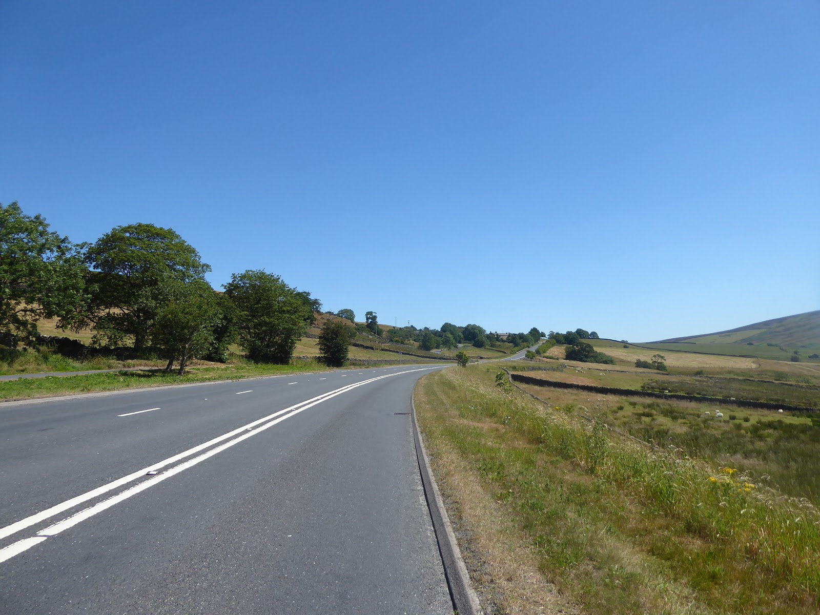
The weather on walking days in June has certainly been inconsistent, rarely being better than average in terms of heat and temperature, but as the month ends, it seems to have settled into a long sequence of being consistently hot, and so it continues as we reach Phase Two of this High Season's walking plans, having blazed a few fresh trails into the top half of Wharfedale in Phase One, it's now time to start stitching this valley to distant Nidderdale along one of the few local axes so far unexplored in the West Riding. The long days of Summer also allow for late starts and finishes, and we'll being having both of those after riding the crowded Dalesbus all the way from Leeds, and being the only person wanting to alight at the Devonshire Arms at 11.10am, a mere 20 minutes behind schedule, at this most familiar corner of Bolton Bridge, that looks a whole lot brighter than on any of my preceding visits, and steps will be rapidly made away from the pub and teashops on the Bolton Abbey estate with the feeling that I'll pretty much have this walking day to myself. We pass again over the Wharfe via the old Bolton Bridge, noting just how firmly the look of summer has gripped the fields around Red Lion farm and meet the side of the A59 in short order, still mostly closed to traffic after a month, and the red route we will be taking up the passage of Kex Gill, not that its unusual quietness counts for much in the initial climb has a footway for us to pace, in place so local children might be able to walk to the Boyle & Petyt primary school safely. We are soon away from the Wharfe and into the shadow of Beamsley Beacon, rising to our south, following the pavement and bypassed old lane up past Lane Houses farm, Beamsley Hospital again (in much better conditions for photography) and the former Methodist Chapel that is now the Beamsley Project, an accessible holiday property that caters for the disabled, a deeply admirable business that has a grand old setting, among the green fields below the moors. We run past the road to Storiths and lose the footway after a mile to join the lane that runs into Hazlewood, undulating away from the direct course of the A59 and getting some good looks down into the descending Kex Gill as we rise past Laneside Farm, and then drop again at Hill End farm to get back on the main road, which I really could walk in any way I fancied as there is so little traffic that you could choose to pace any part of it. I'll stick with facing the theoretical oncoming traffic as we pass the layby and the clearly twisting path of the old turnpike alignment that has been straightened out by the modern A59, the course we continue along as we rise on the bypass past Summerscales farm, not quite in the crawler lane, but with enough space to avoid the odd boy-racer using the empty road, and the odd police van looking for those stray vehicles that really shouldn't be out here.
 |
| The A59 crossing the Wharfe, Bolton Bridge. |
 |
| The A59 rises towards Beamsley Beacon. |
 |
| The Beamsley Project, at Beamsley Old Chapel. |
 |
| Rising to Kex Gill, Hazlewood. |
 |
| The old and new A59 intertwined, Summerscales. |
Beamsley Moor definitely does provide a dramatic scenario for the rising road, an elevation of some 200m up from the beck at the bottom of the gill, and this time around my eye can be drawn more to the edge of Hazlewood Moor, especially to the crags and rocks behind Brown Hill farm, and to the hidden expanse that sits beyond Bent Hill farm, an unknown landscape to ponder some as we take the road as it makes the long detour away from Badger Gill to Pace Gate. The A59 sends us past the sign welcoming us the Yorkshire Dales National Park, the only on that I've seen over the last month of crossing its south-eastern corner, as we depart it in the shadow of Round Hill and start out over the terrain that we came this way to traverse, passing over the route of my passage off that hill and starting on a new northern borderline to my walking territory as we enter the Nidderdale AONB as moorland grasses arrive on both sides of the road. The road surface is pretty terrible too on the way up to Kex Gill farm, one of those locations for the hardiest of farmers at almost 300m up, and while the moors on three sides may restrict the views around, a look back down the gill gives us a distant profile of Skipton Moor as we move off the A59 to follow the old alignment of Kex Gill Road over the moortop. Rise on a hard surface, hopeful of getting a landscape revelation to the north and east as we rise towards the day's summit at 312m, but the angles of the moor offer nothing and the only views are back down the valley to Round Hill, with Pendle Hill and Longridge Fell briefly appearing at a great distance before the undulations lose us all sight lines to the west and the way travelled. So focus forwards as we meet an actual road surface again, with the reminder that despite being distinctly out of the way, there is still going to be local farm traffic up here, along with those drivers who know their way around the closure of the A59, and we soon get our eastward revelation as the radomes of RAF Menwith Hill peak above the heat haze on the horizon. The appearance of the Knabs Ridge windfarm could draw all the attention forwards to the way to the Washburn and Nidderdale but a look back northwest gives us a momentary peek over the moors to reveal high points on what should be my next three trails as we sight Rocking Hall, Pock Stones Moor and Greenhow Hill rising over the grasses of Kex Gill Moor. As the road drops and we pass Blubberhouses Quarry, we get a lot more revealed to the east, as Stainburn Forest and Norwood Edge join the horizon above the Washburn valley, where Fewston reservoir appears, as does the mass of Blubberhouses Moor, along with a view down, and up, the valley of Hall Beck, where the currently closed and partially collapsed A59 runs past the rocks of Cats Crag, possibly the single most scenic corner of its moorland passage.
 |
| The National Park boundary, Pace Gate. |
 |
| Kex Gill Moor farm. |
 |
| Looking back down Kex Gill. |
 |
| Kex Gill Moor, with Rocking Hall, Pock Stones Moor, and Greenhow Hill. |
 |
| The Washburn view from Kex Gill Road. |
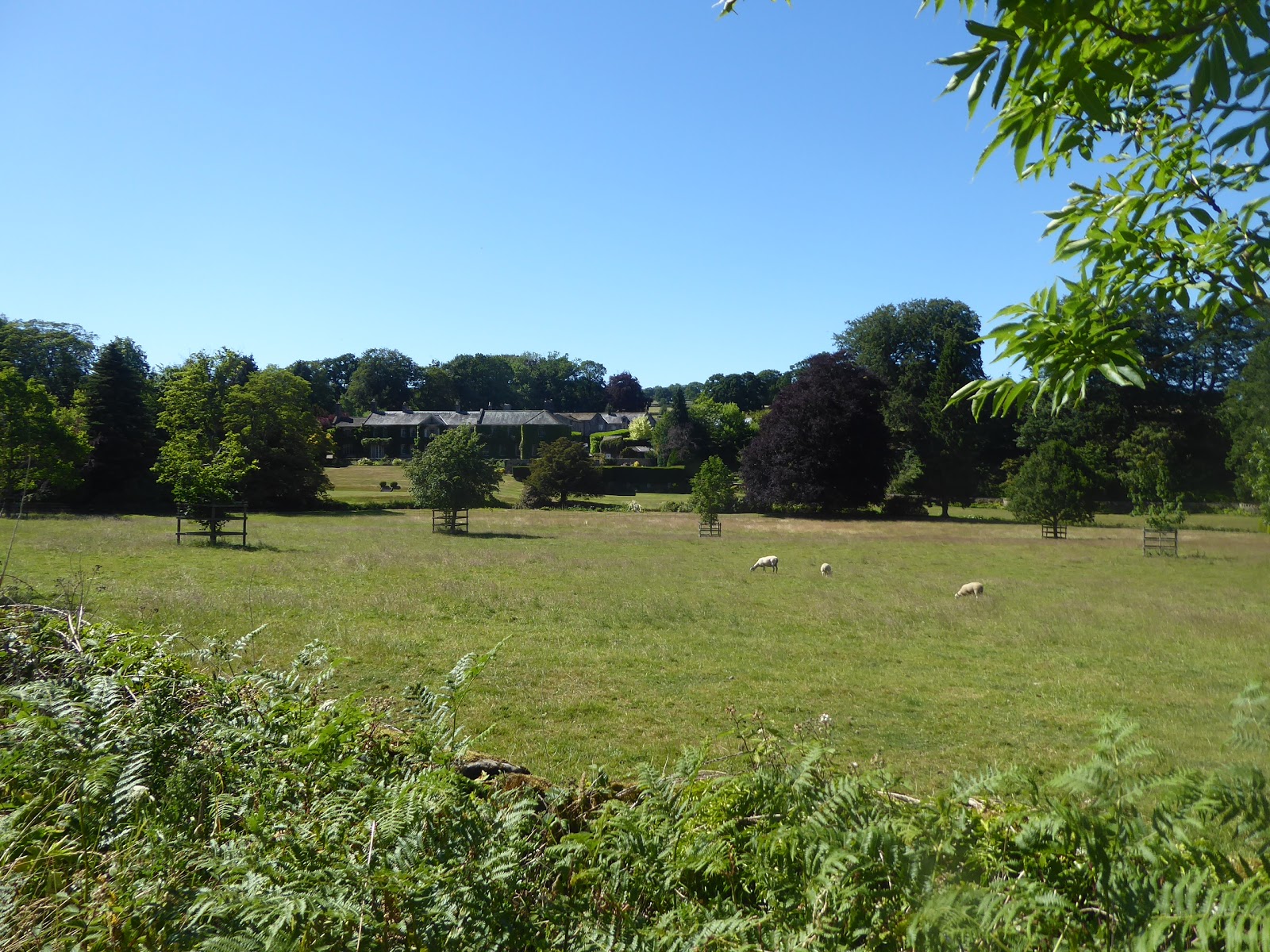
The rebuilding work, the second such escapade in the last three years (with shades of Mam Tor Road perhaps?), means we cannot approach that stretch any more closely as we return to rough bridleway walking and pass along the periphery of Hall Moor, which obscures any views up the Washburn Valley, so we'll have to content ourselves with looking to the cleft below as we pass down through the enclosure filled with scorched heather. The fires that have recently raged in Lancashire haven't arrived in the West Riding with the hot weather, which is a relief, and we move down with clear sight of where we are headed at the valley bottom, as well as back up towards Bothams Farm for another remote and dramatically located farmstead, generally loving the views and the warmth, felt as the breeze over the moortop finally drops, before we meet road again as Hall Lane comes down the Washburn from the locality of Thruscross reservoir. Get one last view up Hall Beck, a really good one before we sight Hanging Moor up the valley and then descend to meet residences once more as we approach Blubberhouses Hall, which suggests a dynamic aspect that is unfortunately obscured by hedges, startling some cows from the neighbouring farm before we meet the A59 again, right by the closure barrier and next to the junction with Shepherd Hill Road, by St Andrews church. Back in the land of the known as we pass the car park at the top of Fewston Reservoir and pass over the noisy channel of the River Washburn as we trace the side of the main road, losing the footway and gaining traffic for company as we start the steep rise away from the river valley bottom, not fun to walk against but as the A59 is cut off as a through road, we are going to have no HGVs to contend with, at the very least, for the next few miles. It feels like lunchtime but the layby by the top of Fewston Woods offers nowhere obvious to sit in the shade, and so we press onwards along the edge of the plantation, passing the small garage with the collection of Dodges opposite the Hopper Lane Hotel, which could offer hospitality and relief from the heat if we weren't on a schedule, and so we press on, with the woods providing some cover for a while before views open out again beyond the top of Busky Dike Lane. A firm breeze from the east is definitely keeping this day honest, ensuring we aren't drying out to fast as we join the section of Skipton Road which maps claim as being Roman, conjecturally running from Isurium Brigantum to Olicana, and identity that hasn't wholly convinced me as we gain angles to the terrain east of the Washburn last year, and look back to west side to see Weston and Askwith Moors' tops rise beyond the wooded valley, but get no really good look towards Denton Moor and it high points, which is disappointing.
 |
| Bothams Farm, and Hall Beck valley. |
 |
| Blubberhouses Hall. |
 |
| Ascending the A59 out of the Washburn valley. |
 |
| The Hopper Lane Hotel. |
 |
| The view to Stainburn Forest and Norwood Edge. |
Not much habitation is found beyond Meagill Corner, with only Moorlands Farm and it cattery on the north side, and we don't get much of a view either as the pitch of the fields is shallow and concealed by many trees whilst Watling Street house is the only one of note to the south, along with the signs advertising the Fewston farm shop, so attention wanders forwards to catch sight of the radomes of RAF Menwith Hill again, well hidden by foliage as if we weren't supposed to know about this centre of espionage. Spotting them will provide the entertainment as the road dives downhill to cross Spinksburn Beck, and then climbs sharply on the far bank as we reach the outer limit of the edge of the Washburn, feeling grateful that we don't have the full bore of the A59's traffic to experience as we do it. This leads to Dangerous Corner, that really earns its name from this angle as the B6451 blindly crosses the trunk road, completely concealed to traffic ascending, and well hidden to anything starting the acceleration downhill to the west, and then we hit the slog along the southern perimeter of the Menwith Hill site on the flat hill top, making sure to sneak as many peeks as I can through the many hedges and over the barbed wire to the massive golf balls, whilst remembering to wave at the security cameras. A look back from here will add to the Roman-ness of the road as an aligned groove can be seen in the far distance rising across Blubberhouses Moor, which pretty much confirms the ancient route to my eyes, and that can linger in the imagination as we reach the far end of the 220m+ hilltop and catch sight of the easterly view over Lower Nidderdale, as we meet then end of our A59 trek by the very former Black Bull in at Kettlesing Head, in the shadow of the Knabs Ridge Windfarm. Onwards on local roads after such a long stretch on the turnpike, noting that most of the distant horizon is actually the North York Moors edge, while Nidderdale offers very little of contextual use as we descend down into the hamlet of Kettlesing, which you could easily mistake for a loose association of farmsteads and cottages if the map didn't tell you differently, taking looks back to both radomes and turbines receding behind us as we go. Kettlesing Lane leads us on into the parish of Felliscliffe, which still has no apparent centre, and meet our previous passage this way as we march down among the fields to Kettlesing Bottom, which is as secluded and picturesque as it was a year ago, this time taking a right turn to Crag Road to see the village school up close and to avoid the temptation of beveraging at the Queen's Head Inn before we meet the bench by the old chapel again, ideal for a very late lunch, or very early tea, in the full heat of the afternoon sunshine before the last hour of the trail comes on.
 |
| The undulating Roman A59, with RAF Menwith Hill. |
 |
| Dangerous Corner. |
 |
| The former Black Bull Inn, Kettlesing Head. |
 |
| Field House farm, Kettlesing. |
 |
| The Village School, Kettlesing Bottom. |
Set off along Tang Lane, into this previously unseen corner of Lower Nidderdale, below the fields of Longscales' farms and above the wooded passage of Tang Beck, finally feeling the need to extract my E297 from my pocket to give myself some location of knowledge as we run into the hamlet of Tang, which is amazingly an actual place, with a few suburban dwellings and makeovers gathering themselves around Bridge House, before we slip into the countryside again and on past Tang House farm with it's thatched roof and impressive barn conversion. A junction takes us on to Swincliff Lane, and down to Tang Beck and its adjacent farm, and then past what looks like managed parkland, which turns out to have Birstwith Hall at its centre, along with some notable gardens around the house, and that can sit behind us as we head up the rising lane towards Swincliffe Side, as it would be far to easy to have a downhill run all the way to the Nidd at this stage of the day. Rise around the southern edge of Gormires Wood, and Quarry Farm before we taking our last view back over the side valley of Tang Beck before topping out and finding some more cows to startle at Swincliffe Side farm, and running into the hamlet of Swincliffe, where many locals have hit the sit-in-the-garden-for-the-remainder-of-the-day portion of the afternoon. Beyond we finally get a view that gives us something that looks like a few familiar profiles of Lower Nidderdale, with the tower of Hampsthwaite's church at the centre, and that's where we'll be heading as the road twists and descends its way down to Hookstone Head farm and the rural end of the village high street, where allotments and a very nice farm makeover can be found. Press on past the close of idiosyncratic council houses, and the masons working under a portable awning, to meet the long stone terrace with the village rooms at it heart, along the length of Hampsthwaite High Street, which sets something of the tone for the village centre, which is very well presented in grey stone while keeping suburban encroachments to a minimum as we move on past the village shop and the Joiner's Arms to the village green, the vicarage and the primary school. This is where we can touch base with the Nidderdale Way, and do a jaunt down a concealed path and over the fields to the yard of St Thomas a Beckett's church, on the bank of the river which hides beyond the trees, and that completes the first stretch of filling in the gap between Nidd and Wharfe, concluding the day by rolling back to the green and around past the Memorial Hall to the old bridge on Cockhill Beck before ending the trip at the Hollins Lane bus stand at 4.40pm, where its shade is most welcome as we water and await the #24 bus to Harrogate and rides homeward that will be as long than the one that started the day!
 |
| Tang House farm, Tang. |
 |
| Birstwith Hall. |
 |
| Swincliffe. |
 |
| High Street and the Village Rooms, Hampsthwaite. |
 |
| St Thomas a Beckett's church, Hampsthwaite. |
5,000 Miles Cumulative Total: 3391.3 miles
2018 Total: 278.8 miles
Up Country Total: 3061.1 miles
Solo Total: 3112.5 miles
Miles in My 40s: 1985.1 miles
Next Up: Wharfe to Nidd version 2.0, on a path a mile or so to the north!


No comments:
Post a Comment