14 miles, via Killingbeck, Osmandthorpe, East End Park, Burmantofts, Leeds city centre,
Armley, Upper Armley, Bramley, Stanningley, New Pudsey, Thornbury & Barkerend.
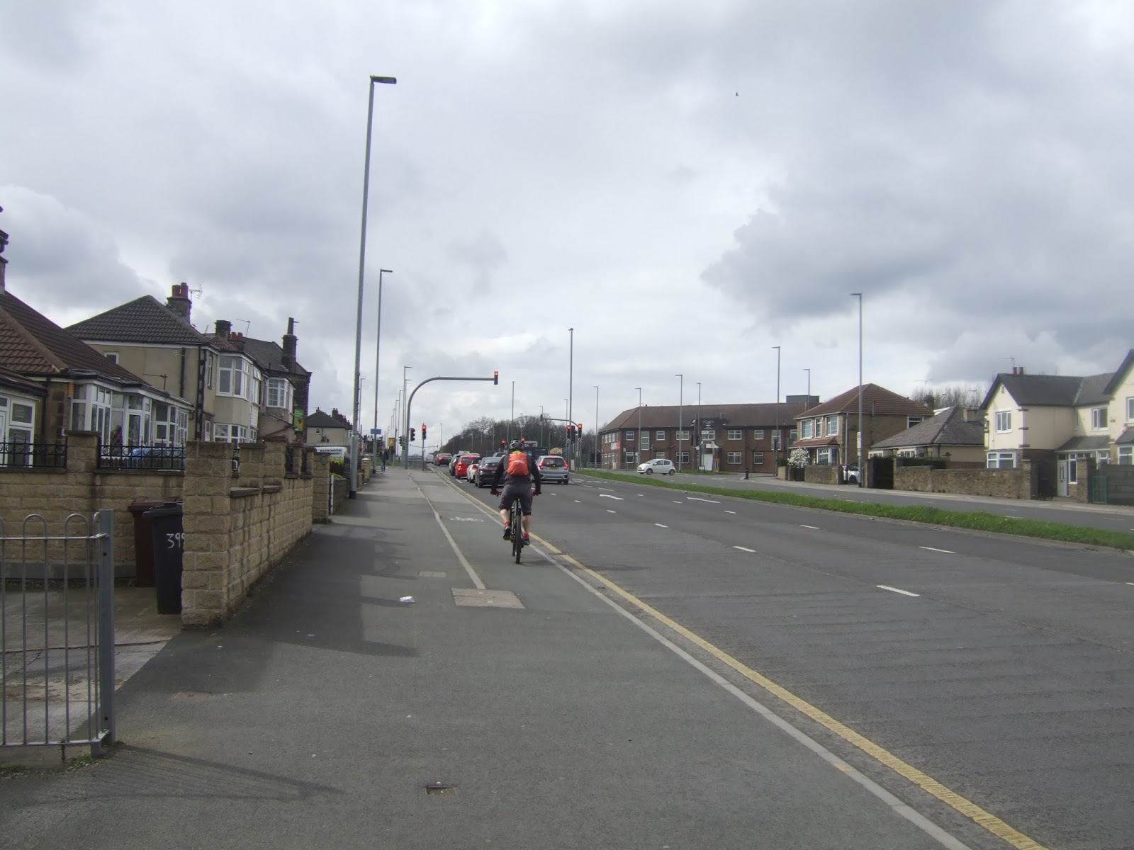
Back Up Country for the weekend and My first Fool's Day walk since I attempted to walk from Halifax to Keighley in Arctic conditions, and there will be no such craziness on this occasion, though the weather doesn't seem to know which season it is supposed to be, so it looks like its going to test out all of them in a single day. Leeds has suffered too much neglect whilst our focus has been on Bradford, and whilst it's my intention to burn some more trails around West Leeds in 2017, it looks like East Leeds might not get much of a look in, so let's do at least one side to side trip on this city via the town centre, something that I haven't done before, and aim to fill in a York Road shaped hole on my experience map. So to the red brick wonder of Cross Gates station as the morning weather promises little, pushing up to the main road for a 9.35am start, and noting that The Station has had a makeover and that there are many more ways of getting to the other side of the Ring Road once past the Crossgates shopping centre, even though our trajectory towards the gated traffic island and Crossgates Road is ultimately the same as the last two trips out of here. Westwards is our path today, down this most suburban of dual carriageways, pressing on to the Burger King junction with York Road, and on to meet the perimeter wall of Seacroft Hospital, site of occasional working exile and of quite a lot of active ongoing medical capacity, despite its diminished size from the original scale of the old Isolation Hospital, a sunnier day would demand pictures of what's left of it. I'm pretty sure housing will be in its future as the Leeds THT looks to dispense of the valuable lands to fund further development of the city site, and it seems that residential development is already coming to the fields around it as a new road has been cut into them from the A64 opposite Killingbeck RC cemetery. The walk to the city feels like it ought to be downhill all the way, and it is past the Asda and B&Q complex and Paddy's Crossing, to the Killingbeck towers and the beck itself that separates the older and newer suburbs, but there are still rises to come, over the throat of Selby Road and the wacky traffic signalling below the railway bridge, and up between the top edge of the Osmandthorpe estate, and below the lower edge of Gipton, passing the unloved, and closed, Dog and Gun, and the matching police station and fire stations at the bottom of Gipton Approach.
 |
| Cross Gates island, at the Cross roads with the Gates? |
 |
| Seacroft Hospital, the old isolation unit still in operation, just. |
 |
| Selby Road railway bridge, for wacky traffic discipline. |
Rise to the Harehills Lane - Osmondthorpe Lane corner, forever to be know as The Shaftesbury junction after the pub that has since been replaced by a care home, where the curly footbridge rises over York Road in front of the cinema frontage that still endures attached to the Job Centre, which research tells me was also called The Shaftesbury, and then its on, past the playing fields, the glass works and the most well known branch of Iceland in the city. The terraces arrive at the roadside as we arrive on the edge of East End park, past The White Horse, which is business despite looking worse for wear, and a look down the side streets shows up some interesting patterns of Edwardian development as the path rises alongside the York Road flyover past York Towers and the Karpaty supermarket that I will surely have to visit when I want my fix of East European Lagers. I do have to wonder if any of the other store along here do much, or any, business as it looks like a parade that the modern world left behind, and the passage of development rolls around the mind as the road sets its way downhill towards Leeds, passing the former Star cinema and the enduring Leeds Irish Centre, on the way past the bottom edge of Burmantofts. This is one city district that got completely redeveloped in the post war years, but its apartment blocks look far less substantial than the terraces that preceded them, whilst hints of the Victorian world are shown up by the York Road Baths and Library, one of the city's buildings that has endured despite no one being able to find a use for it. We're soon upon the city as we pass the larger buildings above Marsh Lane and the flyover that obscures the view of St Patrick's church its far side, whilst the looming presence on this corner is the Department of Health, forever to be known as the Kremlin due to its scale and friendliness of appearance, and then its onalon York Street, alongside the railway to Duke Street, passing the Northern Ballet, the Leeds College of Music and the West Yorkshire Playhouse, a cultural quarter that I have never visited. Into the town and the throng, then, passing the bus station, now well known thanks to my walking exploits, and up New York Street, which seems full of life in a way that neighbouring Kirkgate seems devoid of, past Kirkgate Market and on to Call Lane, which retains some fun indie character that used to be more widespread before the Corn Exchange got its overly expensive makeover a few years back.
 |
| The Shaftesbury cinema (former), Harehills Lane - York Road corner. |
 |
| The York Road flyover, East End Park. |
 |
| York Road Baths and Library, still hanging on but in need of love. |
 |
| Leeds Bus station, for all your non-railway needs. |
Nice to get a new perspective on Duncan Street from this corner too, as there's a few frontages along here that have never really had much attention in all my years, and moving on, to cross Briggate and carry on down Boar Lane, is a path that will always get my architectural geek head going as I'll remind anyone who'll listen that all the late Victorian buildings along here, in all their various styles are the work of one man, Thomas Ambler. The development of the Trinity centre has also done some wonders for putting a better face on the north side, and to giving Trinity church, our sole Wren-ish one, an appealing setting, and from there it's on to City Square, where the old Post Office was redeemed, but the Majestic theatre just looks more and more unloved after a catastrophic fire destroyed its roof. Wellington Street is our next port of call, as the city traffic thins down and we wander into our district of proud Victorian cloth warehouses which has somehow gone unvisited until now, also passing the Leeds Central station hotel and the new builds that grew on the other old Post Office site, where the station once stood. it looks like the Wellington pub has had a hipster makeover, which is sure to upset the traditionalists, and I must note that I've never been a fan of the outer half of this road, as it looks far too financial district bland for my tastes, and it's still sad that the brutalist Yorkshire Post buildings have gone too, as that was a bad building that was worthy of preservation. Hit the A65 island and pass under the inner ring road flyover, and then make our ways over the island betwixt the River Aire and the Leeds & Liverpool canal, getting a view of the best railway relics in the city before joining Armley Road for the westward track, finding it hard to believe that this was the main road before it was superseded by the one on the other side of the railway that drives all the traffic into the Gyratory. There are still plenty of good industrial buildings along here too, Castleton Mills, Solk House and Crown House being the obvious ones, and the Albion endured as a pub in this quarter for way longer than it should have, and the road angles across the deep and wide cutting that carries the railways towards Airedale and Harrogate, joining the A647 opposite HMP Leeds, which everyone still calls Armley Gaol. Push on along the ascending road, which suddenly becomes about as anonymous as a road could ever be, offering nothing of interest to see until we meet Tower Court, a former school, and then the spread of Armley gets interesting again, as we meet the Viaduct Road corner, where the former church will always be known as Mike's Carpets.
 |
| Boar Lane and Trinity church, Leeds, |
 |
| Wellington Street, Leeds's Victorian Warehouse quarter. |
 |
| Castleton Mill, Armley Road. |
 |
| 'Mike's Carpets', the prominent location in Armley. |
Find another old school, a cinema converted to a bingo hall and a residential mill conversion before Stanningley Road joins the side of Gott's Park, and the day starts to feel like spring for a while as we rise above the views over the Aire valley, and all that parkland fails to offer a single good place to grab a seat for lunch time, so attention drifts over the dual carriageway to the knots of terraces around Christ Church and ponder my continuing belief that Upper Armley is where Alan Bennett grew up. It's an uphill haul as the lands become suburban beyond the parkland and Ridge Road , a rise that should have been acknowledged in my mind, and at least we've got the Church of the Venerable Bede and a couple of interesting shopping parades to hold the attention on another unremarkable stretch of road, one which soon slips away to form the Stanningley bypass as we approach Bramley. Older buildings return to the landscape, as we meet the A657 island and almost get drawn off up Lower Town Street, staying the course on the Bradford road between the old church school and the mil with prominent water tower, meeting an altogether stonier face for Bramley as we pass the Daisy inn and a host of other little points of interest as we run up to Swinnow Road and the corner for Bramley station, a good spot to ponder a retreat as some wintery showers come on to chill the day right down. Press on as we meet the stretch that faces the Fairfield estate, with light industry backed up in the sliver of land by the railway, meeting Swinnow Grange Mill up on the corner, and then it's on toward Stanningley as the rain eases off, finding a spot to perch on the wall of St Thomas's churchyard, opposite the Wagon & Horses and the former Pavilion Theatre, at the sharp end of the one time junction of Leeds & Bradford Road. Enjoy the brief elevated view to Airedale and the moors before we slide down towards Stanningley past another block of industrial buildings and pubs with no obvious constituency, noting that we have another proudly stone-y settlement in West Leeds, and the village centre down Town Street and Bradford Road is rather tidy, albeit somewhat dominated by the dozen arches of Stanningley viaduct, carrying the railway away from a station that no one has seen fit to revive as yet. I'd guess the proximity of New Pudsey would have something to do with that, and the presence of the Owlcotes centre is soon felt off to the south, whilst off to the north the feeling of Farsley having stretched all the way to the bottom of Old Road is also tangible, but it turns out that the way to the station and the A647 roundabout is further than expected.
 |
| Upper Armley and the suburban transition. |
 |
| The Daisy inn, and Bramley's stone face. |
 |
| The Pavilion Theatre, Stanningley, as old Cinemas becomes a theme for the day. |
 |
| Stanningley Viaduct, one of those railway structure that goes under acknowledged. |
This feels like the edge of Leeds, and was treated as such last year on a cross city trek, but there's more of Leeds beyond the Ring Road, roughly a mile of it, stretched out along the dual carriageway of Bradford Road, gradually rising uphill as 'New' Pudsey extends almost to the highest point of the hills between the two cities, and having made a few journeys across theses rises and valleys it becomes super-apparent why the two conurbations have never merged. At the top we meet the Woodhall Lane junction and Thornbury Barracks, home to the 4th Battalion of the Parachute Regiment, the reserve division of the most bonkers branch of the British Army, and from there we hit a familiar scene from five years ago as we pass the Leeds Country Way as it goes off across the University's playing fields, and also the final teaser of my railway walk as the former Laisterdyke - Shipley line passes below the main road. Even as we enter Thornbury, the city of Bradford hasn't quite arrived as the Gallagher Leisure Park and the large green in the middle of the Dick Lane - Gipsy Street interchange still fall within Leeds, but as we follow the cycleway to Leeds Old Road, we finally change cities, passing the B&Q and Morrisons stores, and you can never be all that far from a branch of Morrisons when you're in Bradford. The Old Road has none of the commercial feel that dominates the new road, and the B6381 has an altogether more residential feel, as well as providing an excellent example of contemporary church architecture in St Margaret of Antioch, forming a tidy composition with the local community centre. It's odd to think that the more direct route is the one that got superseded, and the traffic still seems busy enough as we pace on down by the southern edge of Bradford Moor park, but it's not all get distributed by the A6177, as much of it seems to be for the wedding party that's gathering at Habib's restaurant on the corner. Push on into Barkerend, inside the ring road, trhough more parades of attractively yellow terraces, meeting the decline towards the city as we pass Myra Shay park, and ponder that this city doesn't seem to want for green spaces, dropping downhill as the huge and impressive Victorian school buildings grasp the attention, surely the best in the city, almost providing enough of a distraction to miss the Karmand Community Centre and St Clement's church. Press on downhill, as the road throws up all sorts of curiosities, demonstrating the predictable changes of uses in Bradford's recent history, ones that a good local historian would surely be needed to explain further, and it's odd that this road feels not markedly steeper or narrower than its replacement, levelling off as another massive mill survival is encountered off to the south.
 |
| Bradford Road, and Thornbury barracks. |
 |
| Thornbury Green and the Gallagher Leisure Park. |
 |
| The Board Schools, Barkerend. I LOVE these buildings. |
The last steps towards the city feel imminent, as we roll past the A658 roundabout and passing some of those tower blocks that Bradford manages to hide in its landscape quite so successfully, arriving by the Shipley-Airedale Road by St Mary's RC church and across the way from Paper Hall, dated 1648 and the oldest surviving domestic building in the city, rather precariously located at the junction with Barkerend Road. The road straight ahead suddenly becomes rather quiet and narrow, as if all the traffic has been thoughtfully syphoned off elsewhere, and attention is immediately drawn to the 20th century extensions at the back end of Bradford cathedral, but before we head down Church Bank the surrounding streets of warehouses and other buildings suggest a city that has more hidden corners than Leeds does, and that's something I thought I'd never admit. Drop down to below the older half of the cathedral, but as footsteps lead up to the small precinct they ought to be taken so we can get a closer look at the 15th century parts of the church, sat on a bluff overlooking the city and sharing a coffee shop with the Kala Sangam centre occupying the old GPO building in front of it, passing away from the close via the other set of steps that soon has upon previously walked paths on Bolton Road and Canal Road. Still, there's an entirely new thing to focus on as we move in on our destination, the ultimate fate of Bradford Forster Square station and all of the former lands of the Midland Railway, as it's quite bizarre to think that all the plots between Valley Road and Cheapside, and from Lower Kirkgate and Hamm Strasse used to be railway buildings and yards. The goods shed on Valley Road has since been replaced by a lorry distribution depot, which has already reached the ends of its life, and the extensive goods yards have been replaced by many retail outlets stretched way up the valley, but the saddest fate of all in the station itself, the original site having grown since 1846 to the six platformed station and hotel complex of 1890, only to be brutally cut down in 1990 and replaced by a station that is little more than a three platformed tram stand, maybe the saddest city terminus in the city. It's a worse station than Interchange, to be honest, and it's worth a tour around the old site to see that the exterior walls still remain on the eastern side containing the later office block, as does the old passenger entrance and the entirety of the Midland Hotel, thankfully, the only pacifying thought being the fact that it was condemned completely by the Beeching Report of 1963. So we ought to be grateful for its endurance, however diminished from it's heyday, and we'll enter it from the School Street entrance to land on the platform before 3.10pm, primed for an electric ride away in the direction of home.
 |
| Paper Hall, the oldest house in Bradford. |
 |
| Bradford Cathedral, best viewed at a remove. |
 |
| The Forster Square old station site, another sad loss of a once Grand Terminus. |
5,000 Miles Cumulative Total: 2669.7 miles
2017 Total: 104.7 miles
Up Country Total: 2425.4 miles
Solo Total: 2414.4 miles
Next Up: A new station opens and we can finally get to our Railway Walk, strikes permitting...


No comments:
Post a Comment