Spring has finally sprung now that we are a month into it, with three days bringing all the heat that we have been denied for the preceding weeks, giving the odd experience of being able to complain about it being both too cold and too hot within the space of three days, and as we now need to start hitting the long days on the trail. it's slightly frustrating to not be able to get out to Otley on the X85 for a start earlier than 10am. I had caught the earlier edition of the X84, to aim for a 9.30am drop off, but that ride got no further than the University's Parkinson building as the driver suspended the service as the vehicle issued to him had a driving position that was aggravating his bad back, and he was unprepared to do a 2 hour drive in it to Skipton, which is a new one on me and thus my 6+ hour plus walk risks keeping me out through the hottest part of an already hot day. Away from Otley bus stand then, returning to Bondgate and head around to the corner by All Saints and up Kirkgate, where the Saturday market is already in full swing and several stores appear to still be trading on a model not much seen since the 1970s, passing the Clock Tower and crossing to Beech Hill and Westgate by the Black Horse and my particular favourite parade of shops in this town. Set course for Ilkley Road, passing the Cross Pipes, the blue ceramic terrace and the back of Waitrose to meet the Fleece and that impressive terrace of three-storeyed townhouses that start the bypassed section of the old road, and the stature of the houses diminish as we push out of town, before we run into the Otley Mills complex, in various states of usage after 200 years, where Wharfebank Mill remains employed, while another is boarded up and a third demolished to start the development of a new business park. Join the stub end of Ilkley Road as the A660 bypass roars by behind a shroud of trees, running into a rather musty atmosphere coming from fires lit in what appears to be a shanty town on the western edge of Otley, not something you'd expect to find as the path runs us up to our first contact with the bank of the Wharfe and pushes us out to the side of the main road, which will accompany us for most of today's trip. Thankfully a footway is going to be provided for much of it as we hang by the riverside as far as Mickle Ing bridge and switch to the southern side as we roll on past Maple Grange farm and the sewage works in the bow of the river, observing the traffic to see if anything interesting passes by, as well as watching the aeroplanes overhead flying in to land at Leeds Bradford airport, all of which seem to be operated by Ryanair or Flybe.
 |
| Kirkgate, Otley. |
 |
| Ilkley Road, Otley. |
 |
| Interesting traffic on the A660. |
 |
| The receding mass of Otley Chevin. |
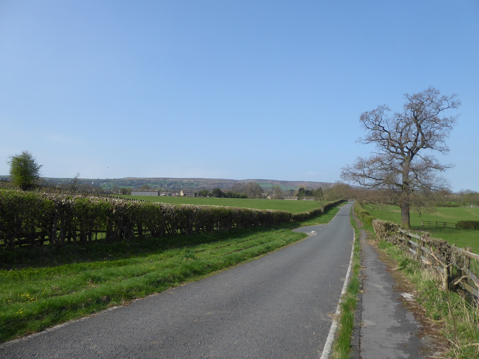
The tree clad bulk of the Chevin recedes from view as we pass Laund House farm, and the rising bulk of Rombalds Moor starts to dominate the southern aspect, and as the A660 widens to meet the Burley in Wharfedale bypass, we finally move out of Leeds district, having spent the entirety of 2018's Up Country walking in it so far and thus we enter Bradford district and quickly peel off from the main road to meet the bypassed section of Otley Road, now reduced to the status of a gated road. It does push us a tiny bit uphill, and away from the river, which gives us just enough altitude to catch a glimpse of Weston Hall before it disappears behind the spring foliage, as we press on enjoying having an old A-road to ourselves as we run up to Goit Stock farm and the junction of Eastfield Lane, another of the local roads to nowhere, before we meet the island on the A65, descending down from Menston. Join Main Street and the way into Burley, which immediately advertises the fact that this is the most interesting end of the village as it passes between Burley House and Burley Lodge, both late Georgian beauties, and on into a landscape of dark stone terraces around the green opposite the church of St Mary the Blessed Virgin, with its distinctive spire, and the former Malt Shovel hotel, a nice spot to break for elevenses. There's a lot of old stone architecture around this end of the village, to warm the heart and to make me desire it as a fantasy retirement location, noting the Methodist chapel and school by The Lawn house, before running through the village centre with its pair of pubs, the Queen's Head and the Red Lion opposite the Queens Hall and meeting a familiar track as we meet The Grange and the public park around it. The terraces and suburbs of the western edge of the village ought to be well recognised by now, as we push to the end of the settlement to meet the A65 bypass road by the Generous Pioneer and carefully dash across it facing the buildings of Ghyll Royd school and resuming our pacing along that wide section of road plot that only has two lanes on it, as if built to accommodate a dual carriageway that never quite got finished. Beyond Black Bull and Greystone farms, we meet the little suburban enclave of Manor Park (or Esscroft, depending on which map you believe), distinctly separate from Burley and tucked in on an elevated lump in a bow of the Wharfe, opposite the Esscroft Grange nursery (for children, not plants; and maybe clarifying the confusing nomenclature) where the A65's seemingly never ending traffic jam starts as we meet the riverside again, perhaps explaining the long schedule window of the X84 bus.
 |
| The Bypassed Otley Road, and Rombalds Moor, near Burley. |
 |
| St Mary the Blessed Virgin, Burley in Wharfedale. |
 |
| The Queens Hall, Burley in Wharfedale. |
 |
| Black Bull farm, and the over-wide A65. |
 |
| Manor Park, or Esscroft. |
From the Wharfe bank path, all interest is directed towards the low riverside fields of the parkland of Denton Hall, which is easy pick out a mile distant on the north bank in the shadow of the looming moors beyond, and to draw a lot closer with the aid of my zippy telephoto lens, another view to cherish as we move on along Coutances Way and pass the Kashmiri Aroma restaurant on the site of that Little Chef that seemed to endure long past the cultural relevance of that particular company. Move close to the railway as we pass the Rowley Wood lodge, and then spot the multiple wedding cars as we pass below the cover of trees, before emerging again by another sewage works, meaning we must be coming up on greater Ilkley, passing the local sports clubs and catching site of the elevated Cow & Calf rocks as Wheatley Grange teases us from quite a distance as we approach the eastern edge of town at Ben Rhydding. Eventually rock up by Denton Bridge, that Tyne, or Syndey Harbour, variant in miniature, as we touch base with the Wharfe for a third time, pacing on as suburbia takes hold and presents some interesting faces to Leeds Road, rising away from the river and the temptation of trying to cross the Denton stepping stones, while the bulk of Rombalds Moor rises again to loom large over the town, a perspective that would seem ominous on a gloomier day. The landscape takes a slightly more vintage town as the centre of the town is approached, gaining terraces and the former Drill Hall, pondering the thought that we used to travel this way quite a lot more than a decade ago and wondering what happened to that tiny model shop that used to be on the corner down here by the Booths supermarket. The town centre follows, beyond the Operatic Society HQ(?!) and the local cinema, presenting a bunch of Victorian shop fronts which are among the best in the county as Leeds Road draws us up the the Brook Street corner, which is determinably the best crossroads in Yorkshire, and that's where we'll break for lunch, on the benches in front of All Saints church, that medieval beauty that deserves its reputation as the 'Cathedral of Wharfedale'. Church Street then takes us on, past the 1709 dated Flying Duck inn, the proud Arcade and the Box Tree restaurant (still the poshest I've ever eaten in), before switching on to Skipton Road and taking us past the ancient buildings of the Old Grammar school, and the Yewbank Terrace, formerly pierced by the old railway, before we hit the heading out of town feeling as the townhouses get larger and sight lines are offered across the valley to Myddelton Lodge, high on the north bank.
 |
| The Wharfe, and the view to Denton hall and park. |
 |
| The Cow & Calf rocks, and Wheatley Grange, Ben Rhydding. |
 |
| Rombalds Moor looms above suburban Ilkley. |
 |
| The Leeds Road - Brook Street corner, Ilkley. |
 |
| Ilkley Old Grammar School, Skipton Road. |
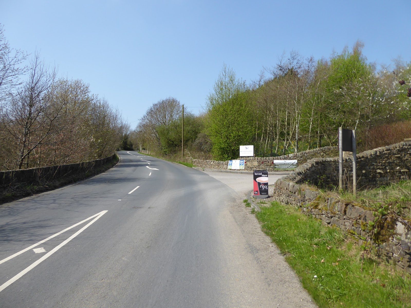
Hitting an open view up Wharfedale as Ilkley stops on the north side of the road gives us quite a view up the valley beyond Hadfield farm, teasing the rising hills and the way to Airedale beyond Addingham to come while the path of the Wharfe upstream shifts northwards, while the industrial archaeologist in me takes interest in the former embankment of the MR's line to Skipton comes up the roadside from the west. The former rail path into Ilkley may have been lost beneath suburbia, and the bridge gone for close on a half century, but the embankment has resisted attempts to dig it out (to widen the A65 around Hollin Hall farm, I'd expect), while significant chunks of masonry still sit by the roadside, clearly featuring cap stones from the parapet among them, which provide a reminder of what we lost in the 1960s to any passing motorist that might observe them. Aspects turn rural as we fully depart Ilkley and pass the halfway milestone, and no trace of the second railway crossing endures here, virtually erased from the landscape as it vanishes beyond the driveway to Netherwood farm, and we take sight of Beamsley Beacon and the profile of Addingham High Moor before slipping into the cover of the trees of Greenwood Wood with the road and losing the passage of the A65 as we drop with the old road down to the riverside, for a final time, and to meet the track of the Dales Way, unseen since 2013, as we get some quieter miles as Addingham gets bypassed. Not following the track to the Low Mill complex, we instead press on along Ilkley Road past Low Holme House and around the grounds of Hallcroft Hall, before following Church Street up towards St Peter's and only realising that this isn't the old main road when I notice that we are headed towards the Wharfe and the Dales Way path again, soon rectified as we shift back to the correct route by passing among the suburban growth around Croft House and Parkinson's Fold farms. Then onwards along Main Street, past High House and the Memorial Hall to pass along the route of my speculated five pub crawl (all notably busy in the sunshine), to again admire the stature of the houses that grew in a village that supported three mills back in the day, and only fail it as a potential retirement location due to the loss of its railway. All the sights up to the Moor Road corner have been seen before, and that's where the ascent of Skipton Road starts to get serious, and as the village slips away behind us the footway ends too, giving us a five mile stretch until the next one, and the heat starts to tell too as the way out of Wharfedale rises up beyond Bracken Ghyll golf course and the sound of the traffic on the rising bypass road gets me alert for walking along the side of the A65.
 |
| The way to Upper Wharfedale, and to Airedale too! |
 |
| The former Ilkley - Skipton railway still resisting erasion. |
 |
| Last sight of the Wharfe, below Low Mill. |
 |
| The Swan, and the absent railway, Addingham. |
 |
| Ascending out of Wharfedale, by Bracken Ghyll golf course. |
Before we join it, I can be glad I'm not trying to cycle today, like the portly older guy that I pass before joining the cycleway just wide enough to keep me out of the way of the oncoming traffic, noting that the bus stop by the lay-by is still in the WY Metro district if I wanted to bail, but I need to gather the fortitude to press on, with five miles still to go and most of the serious ascending having already been done as I startle the sheep of Highfield House farm as I take more shots towards Beamsley Beacon. Soon enough, we are into North Yorkshire and upon Chelker Reservoir, that odd body of water that's over half a mile long, with no obvious feeds and seemingly dammed at both ends, up at over 200m altitude and familiar to anyone who's traveled the A65 as being the one with the trio of wind turbines next to it, all of which have now gone as they never seemed to be working properly, altogether an interesting foreground to the evolving views as Barden Moor and Barden Fell emerge on the local horizon. There's no need to retreat to the security of the anglers' waterside path to get away from the traffic, as the going is good and the sight lines clear, though it does lack shade below the fields rising up to Skipton Moor, which has me glad that I bought some fresh factor 50 sunblock before heading out, as we rise away from the water and spot a good view down to Bolton Abbey and its Priory church, and catching a couple of sections of aqueduct peeking above ground and wondering if we've had another Nidd aqueduct sighting, as it is local to theses parts. Next feature to come along is the bypass of Draughton, with the road rising above Lane End far, but a rough path takes us down to the old alignment, passing the most alarming looking sheep before meeting the secluded village by the old Post Office, the Barchester care home, and the local kids water balloon fighting on the green, pausing to late lunch at the bus stop that confirms it as a faintly viable commuter village. With most of the village stretching north, its soon left behind, and we stick to the long stub of the old road rather than re-joining the A65 as the 3 mile marker sits on what now acts as a driveway to three houses and an access track to various fields, where walking seems to not be discouraged, though the dumping of silage in front of an old lime kiln does render it rather inhospitable as it rises for a good stretch. This is where we get a good long profile on Barden Moor, which needs closer inspection, the view to the traffic on the A59, and the reveal of Flasby Fell beyond the quarried out massif of the former Haw Park quarry, a prominent lump that I'd never noticed before, a good amount of landscape to take in before we have to clamber over a wall to return to road walking.
 |
| Chelker Reservoir, with Beamsley Beacon. |
 |
| Chelker Reservoir, with Barden Moor. |
 |
| Barden Fell, with Bolton Abbey, and the Nidd Aqueduct(?). |
 |
| Draughton Village, away from the A65. |
 |
| The Skipton Road stub, with silage, Haw Park quarry, and Flasby Fell. |
Back on the A65 we can car spot again, catching a couple of beauts before attention is drawn to the high bulk of Skipton Moor, cresting like a breaking wave of rock and moorland grass to the south, dominating the landscape with its 370+m of height, as we continue downhill, starting to tire of being alert on the main road for so long, but thankful that we're still early enough to be missing out on the Dales day trippers making their homeward trek to West Yorkshire. As the A65 peels north to meet the A59, and Otley Road becomes the A6069, it's really nice to find a surprise footway down the southern side to keep us away from getting tangled up in the traffic before we hit the final mile of walking in the road as the tree lined lane tracks downhill alongside the cleft of Skibeden Beck, where the local sheep will herd behind any passers by and a significant dam has been built as a flood prevention measure to prevent catastrophic flooding in Skipton after future rainstorms. Meet the railway bridge of the former Grassington branch, still in use to service the quarries at Rylstone, and to one day link to the Embsay & Bolton steam railway, and with the last mile to pace we get our pavement back as we run into the suburban extremity of Skipton, where I can ponder that stone suits 19th century house design far better than 20th, as the terraces, almshouses and villas wear it so much better than the semis and apartment blocks. By the closed up Cross Keys pub and the police station, we can pass onto Otley Street for a fresh route into the town, passing the former board school and current Baptist church, the old drill hall and contemporary courts, and a lovely parade or tow of terraces before we run into the growing throng of people behind the Craven Court shopping centre, and chuckle at the Craven Bakery before finding the Saturday Market starting to wind down on High Street. Cross to Sheep Street, a narrow lane that shadows the main drag, like the remnant of a back road that got partly demolished to form the widened market place back in the day, and then hit the last stretch of the day, passing on to cross the L&L canal at Belmont Bridge, and resist the temptations of the Cock & Bottle and Bizzie Lizzie's fish & chippery, instead carrying on with Broughton Road to note that the refitting of the cotton mills complex has been completed since we last passed this way in 2013. Only a short trot to the station from there, always noted as on of the Midland Railway's finest and land on the platform at 4.20pm, just as the day starts to cloud up, and I can feel particularly happy with that timing after so much forced inactivity, and also hopeful that 2018's walking season is back on track, and that I've put down a baseline to start building this year's high season trails in upper Wharfedale and Airedale around.
 |
| Skipton Moor is our last looming upland of the day. |
 |
| Flood Prevention Measures on Skibeden Beck. |
 |
| The Grassington, Rylstone and Embsay (?) branch line. |
 |
| The Drill Hall and terraces, Otley Street, Skipton. |
 |
| The Cotton Mills, Broughton Road, Skipton. |
5,000 Miles Cumulative Total: 3208.4 miles
2018 Total: 95.7 miles
Up Country Total: 2920.4 miles
Solo Total: 2929.4 miles
Next Up: The next choice of route between Wharfe and Aire is entirely hangover dependent.


No comments:
Post a Comment