13.4 miles, via Nought Moor, Guise Cliff, Heyshaw, Dacre Banks, Darley (station),
The Holme, Swarcliff, Birstwith, Hampsthwaite, and Clint.
 |
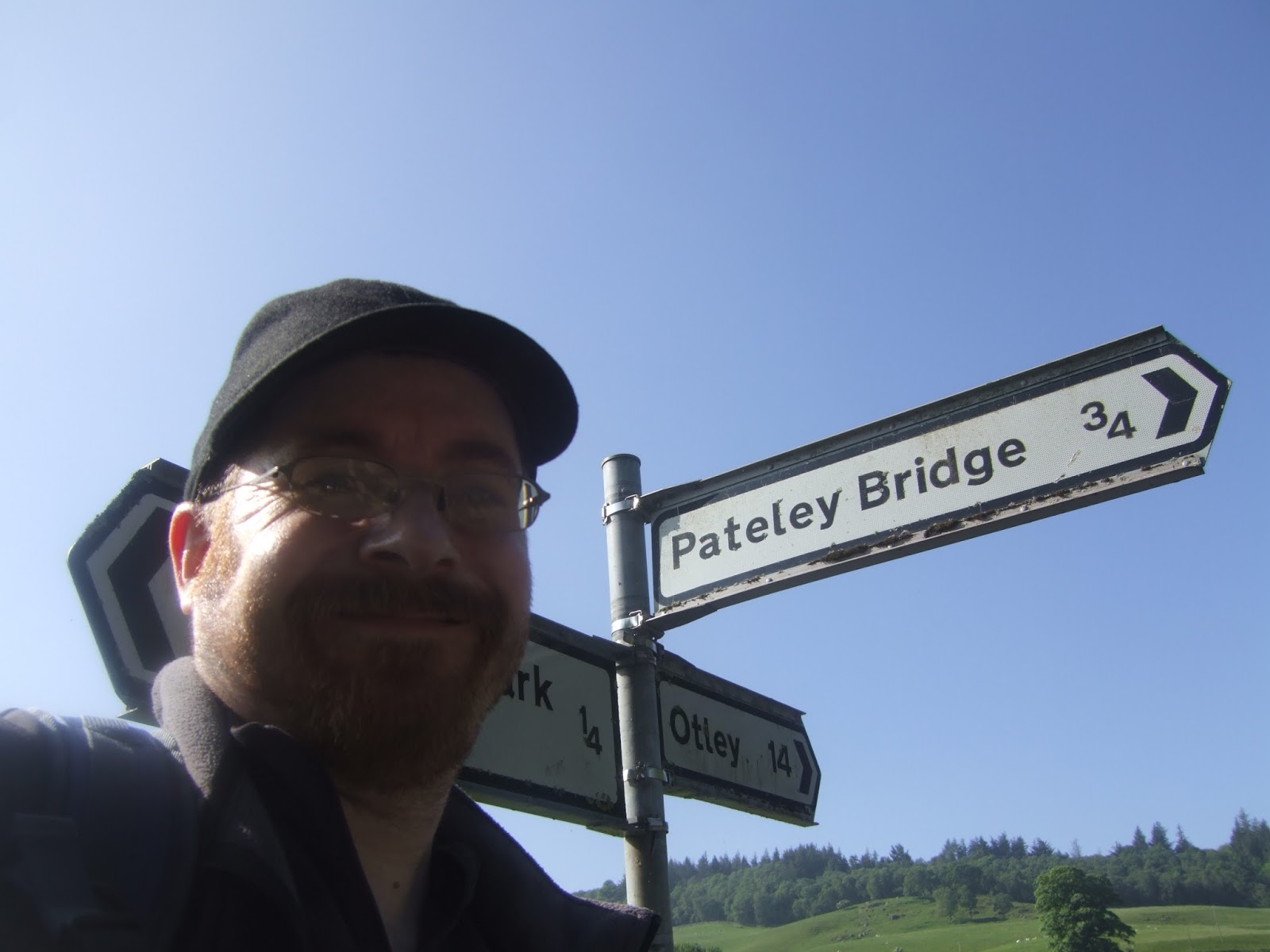
Long Distance Trail means Selfies!
#4 at Turner Bridge, Bewerley. |
There's not going to be a third rest day on this trail, as four days of walking doesn't fit well into seven when two are needed for travelling, and it would be impolite to leave my parents at a loose end so I could finish this on my preferred day of Saturday, and so leg #4 follows immediately and despite plotting so the two shortest days come at the end, I'm still going to nab a lift in the Parental Taxi to the Turner Bridge junction, as I'm in no mood to do an extra half mile on a day that promises to be even hotter than the one that preceded it. So off we go, from south of Bewerley to start the concluding stretch of the Nidderdale Way at 9:05am, so early that the morning haze hangs heavily over the valley, and the opening footfalls have us starting out up Nought Bank Road, soon avoiding its sharp twists and ascents by heading into the fields for a more direct route uphill that soon gets the knees and lungs feeling that this final day isn't going to be much easier that others. Pass into the woods that fringe this high hillside, still panting and straining, up to the rough field above, with the path passing an ice house that seems too far removed from anywhere to be useful, crossing the bank road to meet the rise up onto the high moor, with the route guide telling us to look out for the local rock formations as we go, but none would get close to rivalling Brimham Rocks for detail, despite the Crocodile Rock having an accurate name and the Pulpit and Giant's Chair having hugeness. The focal point interest has to be Yorke's Folly, a pair of columns suggestive of ruined abbey, built during an agricultural depression in the late 18th century as a method of keeping local workers employed, now sitting high and sentinel-like above Pateley Bridge to give anyone ascending the hillside an obvious destination on the edge of Nought Moor, interestingly the exact same upland that has Simon's Seat and Barden Fell at its opposite side above Wharfedale, a splendid and desolate space that brings peace and remoteness to this transition away from Upper Nidderdale.
 |
Nought Bank, and back to the High Moors!
|
 |
| Ladies Riggs, from Nought Moor. |
 |
| Yorke's Folly, on Nought Moor edge. |
The walk follows the wall that separates Nought Moor from the woodlands on Guise Cliff, but despite the route guide and map indicating a path crossing the moorland on a diagonal track to the mast at the southeast corner, no trace of it can be seen on the ground, either overgrown or burned away, and despite an attempt to rough it, the risk of tearing up my knees or ankles in the bracken and heather soon have me retreating off piste to walk above Guise Cliff. There's a path here anyway, narrow and probably only permissive, but perfectly functional as it passes above the high outcrops of gritstone that form this prominent feature, keeping you just far enough away from the deep crevasses that cut through them to offer views down to Bewerley Hall and Glasshouses, indicating that we haven't travelled all that far yet, and honestly, the route ought to come this way as elevated views are always welcome. We roll around to meet the mast on Nought Moor, providing television and telephones for this remote corner of North Yorkshire, and we drop from the moorland, back on track as we pass around High Hood house and the extensive quarry remnants on this high edge to follow the descending and ascending track on the fringe around to Hill Top farm as attention drifts to Lower Nidderdale, familiar in the direction of Brimham Rocks and completely fresh to the east as this will all be territory unseen whilst on the Way. Roll downhill, and set course for territory only seen from the car over previous days, descending down towards the hamlet of Heyshaw, which looks like one farm with bucolic smells to share with all the cottages, where I get a call from My Sister, of all people, informing me that My Mum's phone has died, and any emergency calls will have to be relayed via her, but I'm happy to report that heat, not knees, will be the only trouble on today. A field walk follows, tracing the edge of a plantation that doesn't appear on my E298, enjoying some proper usage after 12+ years in the cupboard, and we meet Lane Foot house and barn and a harder path beyond, Monk Ings taking us down to a passage through rough fields, filled with sheep and moorland grass, on the way to a firm track behind a farmstead. The way markers vanish here, though, and the supposed path through the yard gets far too close to the slurry workings for my liking, so a path is improvised through the gate to the adjacent house, avoiding the yappy dog, and heading down the driveway, and when the way marker is met pointing the correct way up, I'm baffled as to where it might emerge, and so we continue down again, away from the Hill Top school, and down towards Dacre Banks, arriving behind The Grange.
 |
| Above Guise Cliff. |
 |
| The moorland edge, with quarry remnants and Mast. |
 |
| Heyshaw Hamlet. |
 |
The last rough grass walk on the trail,
and Hello to Lower Nidderdale. |
 |
| Above the Grange, Dacres Banks. |
Anyone who has travelled from West Yorkshire to Brimham Rocks, having come down the B6451, will probably know this settlement, a picture of bleached grey gritstone houses on the opposite bank of the Nidd from Summerbridge, passing Holy Trinity church and the sawmill to meet the second largest settlement in the dale across Summer Bridge, a place we won't actually be visiting as out path slips through a squeeze stile to drop down to the riverbank again for the next couple of miles downstream. Pass the sports establishment that serves this quarter and gain a path that sits relatively high above the water's edge, trotting off into a largely shaded stretch with water to one side and open fields to the other after Dacre Banks has retreated from out company, with only Dacre Low Hall providing any landscape features as context to our location is largely lost, heading to the south and east. So follow the map to pick out exactly where we are, soon arriving by the embankment of the NER Nidd Valley Line, operational form 1862 to 1964 from Pateley Bridge to Ripley junction on the equally lost line to Ripon, both lines that the modern world would probably love to have back, and we've got a few relics to admire along the way as it shadows the river, a pair of substantial cattle creeps around Pyefield House and a couple of smaller ones found after we pass over the outspill of Darley Beck and draw closer to Darley village. Continue onwards by the formation, to meet the site of Darley station, quite removed from another of those dales villages that we won't be seeing up close, now with some swanky riverside houses in its place, which does get me wondering if the Nidd ever gets busy after a lot of rain, like its neighbours to the south, before we locate a shady spot for lunch, back on the pizza again. Run into the footbridge that carries the bridlepath from Darley to Hartwith, and then we depart the riverside for a while, passing across the railway alignment, along its wooded edge and into the rising fields that lead over to The Holme on the Darley - Birstwith road, a hamlet that seems to have its own identity, from where we can regain our location in the dale as the Birchfield Farm and Dairy can be seen on the opposite bank, too far removed from here to provide more ice cream. An uphill pull isn't what we need on a hot day like this, but I'm certain the Way provides it so we aren't stuck on a low path for the entirety of the last stretch, and so we rise across fields, thankfully well removed from the young cows that could easily cause difficulties to continue the ascent through the woods, with welcome shade and an unfavourable lack of breeze.
 |
| The Nidd, below Summer Bridge. |
 |
| Dacre Low Hall. |
 |
| The NER Nidd Valley Line, near Pyefield House. |
 |
| Darley footbridge, on the Nidd. |
 |
| The Holme, on the Darley - Birstwith Road. |
Rising with the causey and into the grounds of Raynard crag farm gives us a fine view down the dale, to the woods around Birstwith and over to the village of Burnt Yates, often seen from the main Nidderdale road, but not visited by the trail, and as we rise beyond to the hamlet of Swarcliff (no, not that one), it becomes immediately apparent that the Way came up here, 100m above the river so we might get a late vantage point, giving us one last point to see the moorlands walked today and the many wrinkles beyond. Attention ought to now go forwards, as the trail now presses east through Lower Nidderdale, with the high edge of the North York Moors and the Vale of York returning to the eastern horizon before we start the descent on the lane to Bell House, entering the plantation to its south for shade and a good view across to Birstwith, which looks closer than it is, and avoiding the cows in the field below before dropping out on the road again. Follow it for a stretch, before taking the track down to Birstwith House farm and beyond to the notably old New Bridge, sharply arching its way across the river, as we take the eastwards course alongside it, passing below the local cricket fields, and looking uphill to the old village clustered around the spired church, and eventually rolling up to the cluster of houses around the still active mill complex. A detour to the river bridge reveals it is not impressive and the weir is well hidden, and the residential bulk of the village is off on the northern bank, and so we have to take the path that loops around the flour processing factory, not quite continuing along the river bank as we have to pass back over the mill race before we can press on eastwards, pondering my drop in speed as the sunshine falls heavily on my back on the late going. Shade at the riverside is appreciated when it comes, and the sheep that are enjoying it too have to be shooed away from gates so that we can continue our progress, but we can't stay on the riverside all the way to our next village, sadly as we are forced across the fields to road walk to Hampsthwaite, something that I'm not happy to do as the legs are starting to feel like they've done enough work at this time of the day. Push on nonetheless, and the traffic seem distinctly unhappy to find anyone walking on this light orange road, the only viable path in this area, which takes in in sight of St Thomas a Becket church before twisting its way into Hampsthwaite itself, a rather large village, grown as part of Greater Harrogate, only a few miles off to the southeast, but we'll stick to the old and pretty part around the village green, where shade is offered for a late watering session, and the plausibility of countryside living is again pondered before the last miles go down.
 |
| Up Nidderdale from Swarcliff (no, the other one). |
 |
| The way out of Nidderdale, from Bell House. |
 |
| New Bridge, near Birstwith. |
 |
| Birstwith Mill. |
 |
| Hampsthwaite village green. |
If I'd been following my route guide, I'd be done by now, but the easternmost extremity always seemed like the right place to start, 2+ miles distant, as we set off again, away from this most commuter-ish of villages, past the church again and on to our last contact with the Nidd at Hampsthwaite bridge, which looks like it might be the oldest and narrowest of all the enduring road bridges in Nidderdale, a fine place to bid our companion river farewell. Back on the north bank, our course goes across the river's plains and up to a last contact with the Nidd Valley Railway line too, passing the embankment and abutment at the end of the station site that served the village far off on the southern bank, and we meet a late ascent on the low escarpment of Clint Bank, only 40m high but feeling like more than twice that after the heat and effort of today. At least the cattle in the field kept their distance, and we gained enough elevation to get a good look back over the old railway to see the hillsides and villages on the path we just travelled before we effectively turn away from the valley as we enter the hamlet of Clint, a passage that doesn't amount to much more than a road crossing before we join Hollybank Lane and leave this house cluster behind, pressing on towards the Ripley Park estate. Look over the hedges to get a view to the south, across the tame and meandering Nidd to Audley Hollins hall, reborn as a retirement village on the elevated land, and soon roll up on the lodge at the edge of Hollybank wood which take us into the castle estate, and proves to be sufficiently remote from the rest of it to have me as the only person out in this quarter. Cool woodland is most welcome at this stage, and the track seems to be part of NCN route 67, so this might be something I should be recommending to My Sister's family for a future trip away, and once we emerge into farmlands beyond, we get sight of Harrogate's tall buildings over the hillsides, and sound of the A61 crossing the Nidd bridge above Killinghall so final steps feel like they shouldn't be too distant. The path around Sadler Carr farm, and the perimeter of the Deer Park seems to go on for a long way, and then the drop to cross Ripley Beck at the foot of the ornamental lakes seems to come on almost suddenly, as does the reveal of Ripley Castle on its promontory above, an ancient and fine looking house, originally constructed in the 14th century and extensively rebuilt over the subsequent years, it has been the family seat of the Inglebys, and their baronetcy, throughout the period, and is plainly a tourist hotspot that endures judging by the crowds in its gardens.
 |
| Hampsthwaite Bridge, last contact with the Nidd. |
 |
| Clint hamlet, at the top of its bank. |
 |
| Hollybank wood. |
 |
| Ripley Castle. |
 |
| All Saints, Ripley. |
We shall stay outside their grounds, however, passing along the lane and up close to All Saints church, the notable medieval survivor in a village that really got the estreme makeover treatment, before pulling up to the end of the lane to pose by the market cross and close the loop on 53 miles of the Nidderdale Way, all done at 3.20pm, overschedule again, but not having kept My Parents waiting for too long, feeling positively ecstatic at the conclusion (the quiet kind), having taken on a tough physical challenge and come out at the other end successful. A celebration is on order, and ice cream comes my way courtesy of the van in the over-subscribed carpark, where a 99 cone will cost you £2.40, before we return to Bewerley Hall farm for more ice lollies, enjoyed sat in the peaceful sun trap outside our cottage, and then go on to the Bridge Inn, at Foster Beck, where we might have an excellent holiday concluding dinner, featuring a gammon steak as large as my face. And then Relax...
 |
Long Distance Trail means Selfies!
#5 at Ripley Market Cross. |
It's always funny that after a holiday away, you feel more in need of holiday than when you travelled away, and at the end of this break, I'm as tired as ever but feeling a lot more positive, as the walk hasn't broken me and I'm looking forward to my Summer season, hopeful that warmer weather might inspire me some, though hopefully not as hot as we've had over the last couple of days, and didn't I start this month complaining how cold it was? Of course, my form hasn't been good, having come in over schedule on every day I walked, as if all those miles last year on the flatter lands gave me a completely inaccurate assessment of my walking speed, which has me anxious that some of my longer plotted routes for the future might prove tough, and I might need to use the last three days of my holidays to recover. For now I'll just take away the positives, being delighted to get in a whole trail down in a week, and happy to have spent some time away with My Parents, which has been a constant source of pleasure for us over the last six years. We won't be getting in another week away this year, as my September break coincides with their 50th wedding anniversary, and so our next trip will be a year down the line, and I can't honestly expect to have My Mum doing all this driving for me over many more seasons, and I don't know how mobile My Dad is going to be either. So let's not think that this might be our last holiday away, but if it proves to be so, let's remember it as one of the particularly good ones, where we went somewhere previously unseen to take in new sights and experiences, and enjoyed a week of good company in absolutely gorgeous surroundings and in the most pleasant climate.
5,000 Miles Cumulative Total: 2791.5 miles
2017 Total: 226.5 miles
Up Country Total: 2547.2 miles
Solo Total: 2536.2 miles
Next Up:
Bank Holiday Monday wandering looks optional due to glum weather.
EDIT: Walking focus shifts to Lower Wharfedale, and Beyond!


No comments:
Post a Comment