11 miles, via the Great North Road, Aberford & Bramham.
November comes around and the walking season is still going, only just, mind you as no wandering will go on after my birthday, but it's always good to get to the last viable day of the year and have not been knocked out by tiredness or discouraged by the weather, this seems to have come around with every even numbered year, concluding exactly where I had planned to finish, and the sun is shining too, so let's make haste to get out for my celebratory meal. Of course, a walk up the Main Road to the Chip Shop is a little more technical than it sounds, as the road in question is the Great North Road, and the chippie is the Wetherby Whaler, with the final 10+ miles of the year starting out from Micklefield, so an early start is necessary if we are going to finish around lunchtime, so off the train at 9.15am, and head straight for the Great North Road, passing beneath the railway on its impressive stone bridge. North we go, to gain the correct impression that Micklefield is really two entirely separate villages, New Micklefield, where the terraces and council house were built to serve the local collieries, and Old Micklefield further up the road where the farmsteads and larger houses were to be found. The former seems to still have its original flavour, whilst the latter has a power feel of 1980s suburbia judging by the number of bungalows filling every available space on the road front, indeed you need to be alert to spot the converted village school, the church hidden by a thick wall of trees or the former farms hiding among the encroaching low rise apartments. We retain a footway as the road passes on to the north, drawing the new North Road to its side in the shape of the A1(M), and it's a long drag with the sun behind us, looking over to the Hook Moor windfarm and being struck that the hum of the motorway is much quieter than had been anticipated, I'd honestly expected a constant hiss of white noise at this proximity. Pass over the M1, and the junction with the Roman Ridge road, the alternate route of Ermine Street and this slips us straight downhill to the crossing of the B1217 Aberford Road, and on past the Hookmoor Lodges, at the southern entrance of the Parlington Estate, another illustration of the extent of these parklands, presently earmarked for suburban regeneration.
The road carries on arrow straight for Aberford, and there's plenty to see in this lower section, showing up why every village needs more than one visit, as we pass the impressively Gothic almshouses and the coolly Georgian Hicklam House at its southern extremity, and making our way on past the war memorial and playing fields of Aberford Albion, whilst the milestone at the roadside tell us that this village is a mile in length, as we've already seen the one near the Old Café at the north end. Pace on, with the path rising to an elevated level above Bunkers Hill to give the cottages a quieter frontage, before dropping down to Main Street for the umpteenth time, pressing on past St Ricarius, the Swan (former, sadly), across Cock Beck, and onwards by the Arabian Horse and the Royal Oak (also former) to meet the suburbia at the top of the village and the old alignment of the Great North road disappearing beneath the path of the motorway. The lane continues, roughly parallel to the A1(M), keeping a footway as far as the turn for the farms on the eastern side, and then the cycle lane provides security from the traffic on the march up to the A64, noting that the lands to the west hold another pair of country estates, in Becca Park and Bramham Park, a feature which surely regards further historical investigation. Wander around the A1-A64 roundabout to the eastern side, a long way around to come upon Crossroads farm, one of the most well known abandoned farmsteads in the county, and not being put to any use despite being owned by the University of Leeds, and this is one of those sites that seems too large to have been disused for so long. Push on, up Spen Common Lane, on the Ermine Street alignment up to Bramham Moor, another notable battle site in the locale where on 19th February 1408, the Percy Rebellion against the usurper King Henry IV was concluded during a brief but intense fight in the snow that resulted in the death of the rebellious Henry Percy, Earl of Northumberland. Probably the most obscure of the battles fought around West Yorkshire, but still a conflict that lasted some six years after the deposition of Richard II, something to ponder as the November rain comes on, and a cycleway takes us onwards, parallel to Paradise Way, the local road, and the A1(M) running adjacent to it, hopeful for sunshine as we pass the corner for access to Bowcliffe Hall and Bramham park en route to only our second village of the day.
Bowcliffe Lane rolls us past the folks doing their late season bit for Bramham in Bloom, but the weather is not going to shine on us, so greyness persists as we walk on to the centre of Bramham, so the great colours of the sandstone will not be seen as we press on along Front Street and Wetherby Road, getting the full flavour of the village's development periods and getting confirmation of the Great North Road alignment as we pass the milestone at the village centre. The cycleway resumes, alongside the bypassing A1(M), and we're on old road surface in the early going, clear from the coloured stripes and SLOW notices on the tarmac, and as the lane twists more than necessary, we get views towards Clifford and it's CofE church that just cannot be seen up close. Travelling with my old E289 map make navigation hard as all the paths around here have been redeveloped since, but another section of the old road is met before we have to mount the footbridge to the western side and the flat fields of Clifford Moor, where West Woods Road will take us forward, slightly off the North Road alignment but with a nice wide verge to keep us away from traffic. It's a long walk to meet the Wattle Syke roundabout, as the A659 crosses our path, but the cycleway is regained beyond, between the A168 old road and the A1 Motorway. Another long drag, beneath heavy cloud, but the last milestone to spot on the Great North Road is to be found near Sweep farm, and joy is unrefined as the sun returns to warm our arrival in Wetherby. Around the island at the end of the A58 and past the Doric porticoed former North lodge of Wetherby Grange as Boston Road takes us into town, past the real life TARDIS outside the police station and on over the Wharfe, where the waters are starting to look late seasonal once again. Observe my favourite fact about Wetherby before we conclude, which is that this is the 200 mile half way point on the old Great North Road, between London and Edinburgh, which should remind us that there is a lot more of the North Country than you might otherwise imagine. So final footfalls for 2016 take us to The Wetherby Whaler for our lunchtime portion of Haddock and Chips, all done on the nose of 1pm, with plenty of time to feed in the sunshine by the river below Wetherby bridge, before finishing my wanderings for 2016, concluding that the year may have been a very poor one generally, but the Walking Season has been excellent.
5,000 Miles Cumulative Total: 2565 miles
2016 Total: 550.6 miles
Up Country Total: 2338.2 miles
Solo Total: 2309.7 miles
 |
| Railway Bridge, 'New' Micklefield. |
 |
| Farmsteads and new developments, 'Old' Micklefield. |
 |
| Hook Moor Windfarm. |
 |
| Hookmoor Lodges, Parlington Estate. |
 |
| Aberford Almshouses (former). |
 |
| Northern Aberford, with hidden North Road Milestone. |
 |
| Crossroads Farm, York Road. |
 |
| Bramham Moor Battlefield. |
 |
| Bramham, with obvious North Road milestone. |
 |
| Old A1 and contemporary cylcepath, Clifford Moor. |
 |
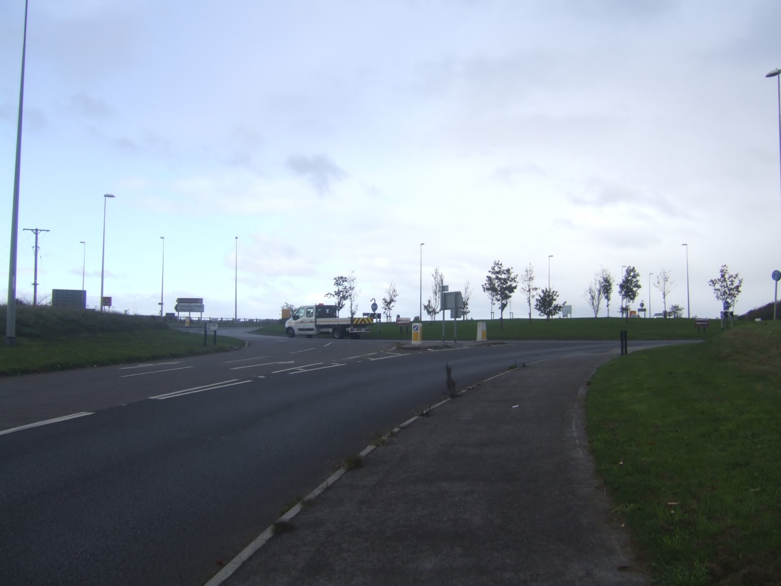
| Wattle Syke roundabout. |
 |
| The A168, and old North Road milestone. |
 |
Wetherby Bridge, halfway to Edinburgh,
and at the very end of 2016's season! |
Next Up: What have we learned in 2016?


No comments:
Post a Comment