March means Serious Business has become a mantra of my walking career, and the late days of winter bring railway walking whilst the cover of foliage has yet to re-emerge, and our trail today will take in the NER line from Cross Gates to Wetherby, active from 1879 to 1964 and another of those lines that I'm sure would prove useful in this corner of the county that feels just that bit isolated from the rest of it. Start out at 9am, heading down the alleyway that leads to Railway Street, which passes above the site of Cross Gates junction, meeting the formation at Austhorpe lane, but not being able to access it until Manston Lane, the cutting being initially choked with undergrowth but eventually opening up and being clearly well used despite the lack of access rights. The line then rises to an embankment behind the house of Cross Gates, as far as the missing Stanks Bridge, before open formation resumes pulling into the countryside and away from the back of Swarcliffe, another well trodden path without an ROW, eventually crossing Wood lane and getting more overgrown as it slides into Scholes. It's a relief to leave the trackbed at Scholes Lane, rising around the in situ station building, and shadowing the formation along The Approach and Nook Lane and out of this odd suburban village, not being able to rejoin the overgrown line at Stockeld lane, and walking on to the A64 York Road, where a lagoon has replaced the trackbed and so another detour is made around carpet warehouse before heading into the fields.
The trackbed is accessible at Mirycarr lane, but too damp for walking, but a footpath shadows it as it gets aggressively fenced off, before meeting it as it forms a long grassy boulevard as it leads us up to Littlemoor Lane bridge outside Thorner, where the substantial missing bridge at Stead Lane was met on the Leeds country Way three years ago. The formation in the village centre is lost, so a path is made past St Peter's church and Sam Sykes' Pump before passing under the site of Thorner station and joining the LCW path northward for a stretch. The way into Scarcroft Hill cutting requires trespass, but it's worth it to pass through the deep and handsomely lined cleft and under the towering Thorner lane bridge, despite the going being blocked with many fallen trees, a large amount of infilling and rather more moisture than is acceptable. Much easier going resumes to the north, with a clear trod having developed along the alignment, passing over embankments and cuttings as it moves on towards Bardsey, and another right of way is sure to develop along here in the future, which is good news. The bridge over the A58 has gone, and only the tiniest of fragments can be seen of the formation where residential developments have claimed the site of Bardsey station., and hope for more railway walking diminishes until a short section is found beyond Keswick Lane, where a dog walking circuit off the recreation ground has been made along the embankment as far as the Keswick Beck bridge.
More fencing off forces me to abandon the alignment beyond there, forcing a long detour along the paths and lanes to East Keswick, high above the old line, and then over to the A659 Harewood Road, where a lack of verges requires tentative going before meeting the pavements again on the decline into Collingham, where the old line is regained. Collingham station may have been built over, but the station house is still there, and a short section of the formation exists as part of the riverside park where a viaduct used to span the Wharfe, but I can't see the pier bases that still remain at the riverbed. Onwards on the lanes north of the river, rising into Linton as the formation runs across Wetherby Golf course and they will not be greeting trespassers warmly, so it's more road walking on through this village, which seem to be far too expensive to need verges for the walker. Roll into Wetherby, on Linton Road, and slip to the site of Wetherby's southern station, at the bottom of the triangle that was formed with the Church Fenton - Harrogate Line, which still endures despite the suburban growth of the town, and now forms a green space to be enjoyed by all and that's worth a circuit before heading on to the town centre and the bus stand for a finish at 2.50pm, with the unseasonal heat making it feel like Spring has arrived a few weeks early.
5,000 Miles Cumulative Total: 1450.4 miles2015 Cumulative Total: 48.2 miles
Up Country Total: 1354.8 miles
Solo Total: 1223.4 miles
 |
| Cross Gates Junction, easily visible from the train, much herder to see on the ground. |
 |
| Penda's Fields overbridge, with plenty of soot, despite not having seen a train in 50 years. |
 |
| Stanks Bridge, Barwick Road. Built as a single span, and later doubled, indicated by the change in stone. |
 |
| Scholes Lane bridge, rough going to get to this one, but an occasional trespass can be justified. |
 |
| Scholes station, with all the main buildings thankfully intact, now open as The Buffers, but it's far too early for a beverage. |
 |
| Mirycarr Lane overbridge, one of the rare accessible stretches in this quarter, wet with atmosphere and moisture. |
 |
| Littlemoor Lane overbridge, near Thorner, once useful for farm access, it is now a bridge to nowhere. |
 |
| Thorner Station underbridge, the station site has been residentially redeveloped, and goes by the name of The Sidings, appropriately. |
 |
| Scarcroft Hill Cutting, deep, moist and beyond many fallen trees there is an amount of infilling, no idea if it is intentional or accidental. |
 |
| Thorner Lane Bridge, sometimes it's worth a trespass just to take a look at a hidden marvel of engineering that you would otherwise miss. |
 |
| Formation, south of Bardsey. It's good to see that a permissive path has developed between Scarcroft Hill and the A58, so future walkers and riders might continue to enjoy the old permanent way. |
 |
| Keswick Beck underbridge, the limit of accessibility north of Bardsey, which is a shame as the formation is still fully intact for a couple more mile beyond. |
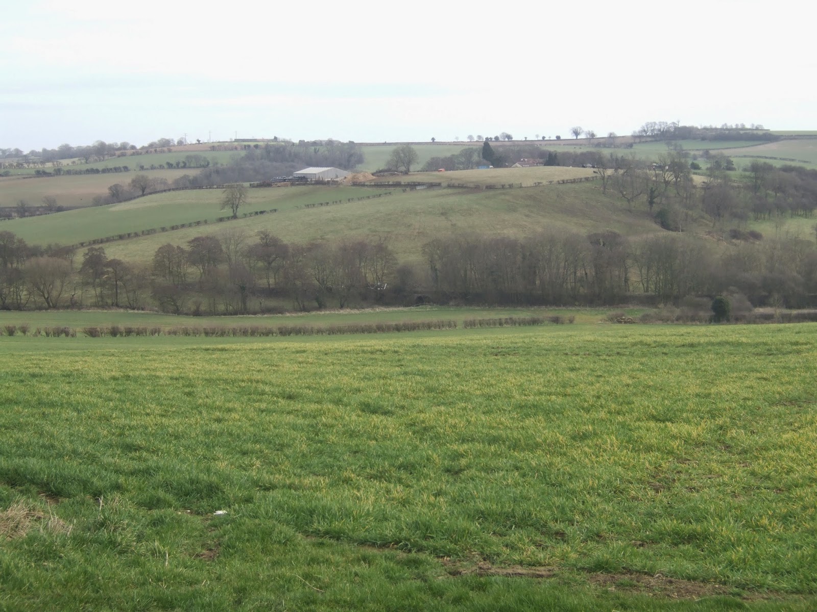 |
| Formation in the landscape between Bardsey and Collingham, it only takes one miserable farmer to spoil everyone's fun. |
 |
| Collingham Bridge station house, despite the makeover, it is still obviously the only old building on the redevelopd station site. |
 |
| The site of Wharfe Viaduct, Linton. I've no idea what it used to look like, as the internet seems to have no pictures of it. |
 |
| The formation crosses Wetherby golf course and proves inaccessible, giving me yet another reason to hate golfers everywhere. |
 |
| Wetherby East curve, for trains towards Tadcaster, York and Church Fenton. |
 |
| Wetherby West curve, for trains towards Harrogate, Thirsk and Ripon. |
No comments:
Post a Comment